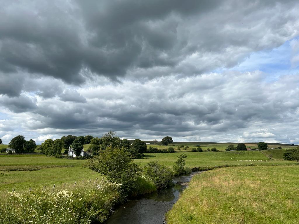
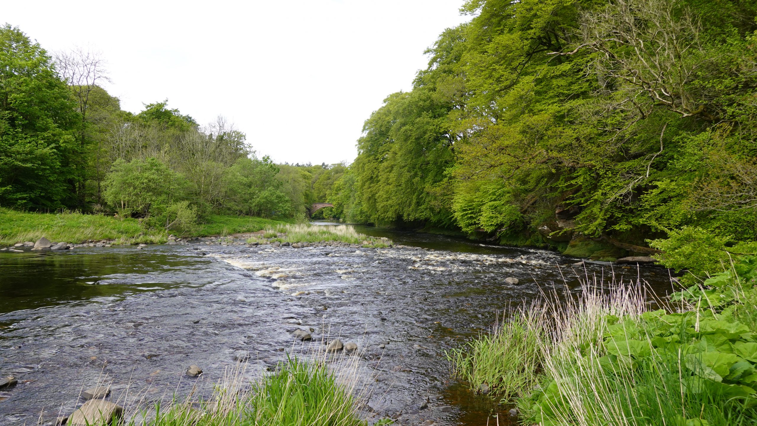
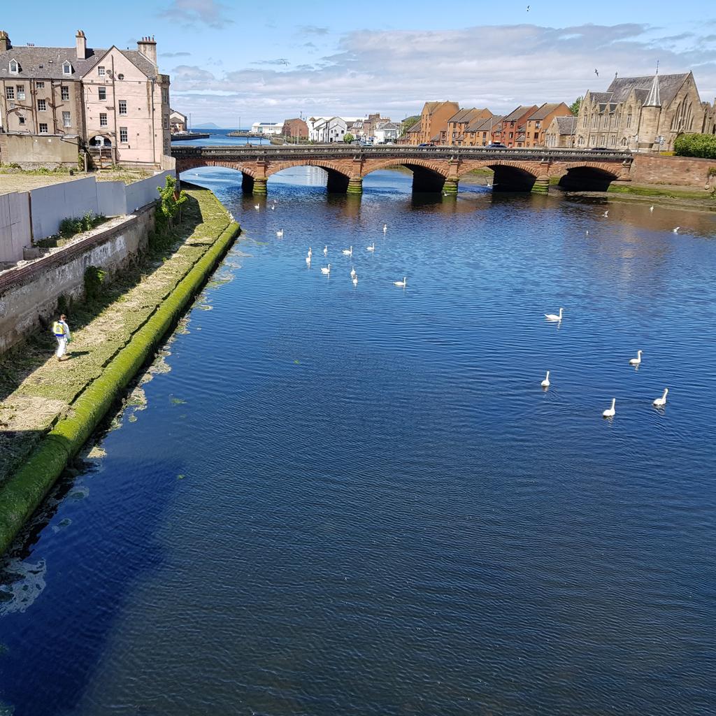
River Ayr
Ayrshire’s largest river rises at Glenbuck reservoir on the boundary of Ayrshire and Lanarkshire and flows westwards 65 km to its estuary at Ayr on the Firth of Clyde.
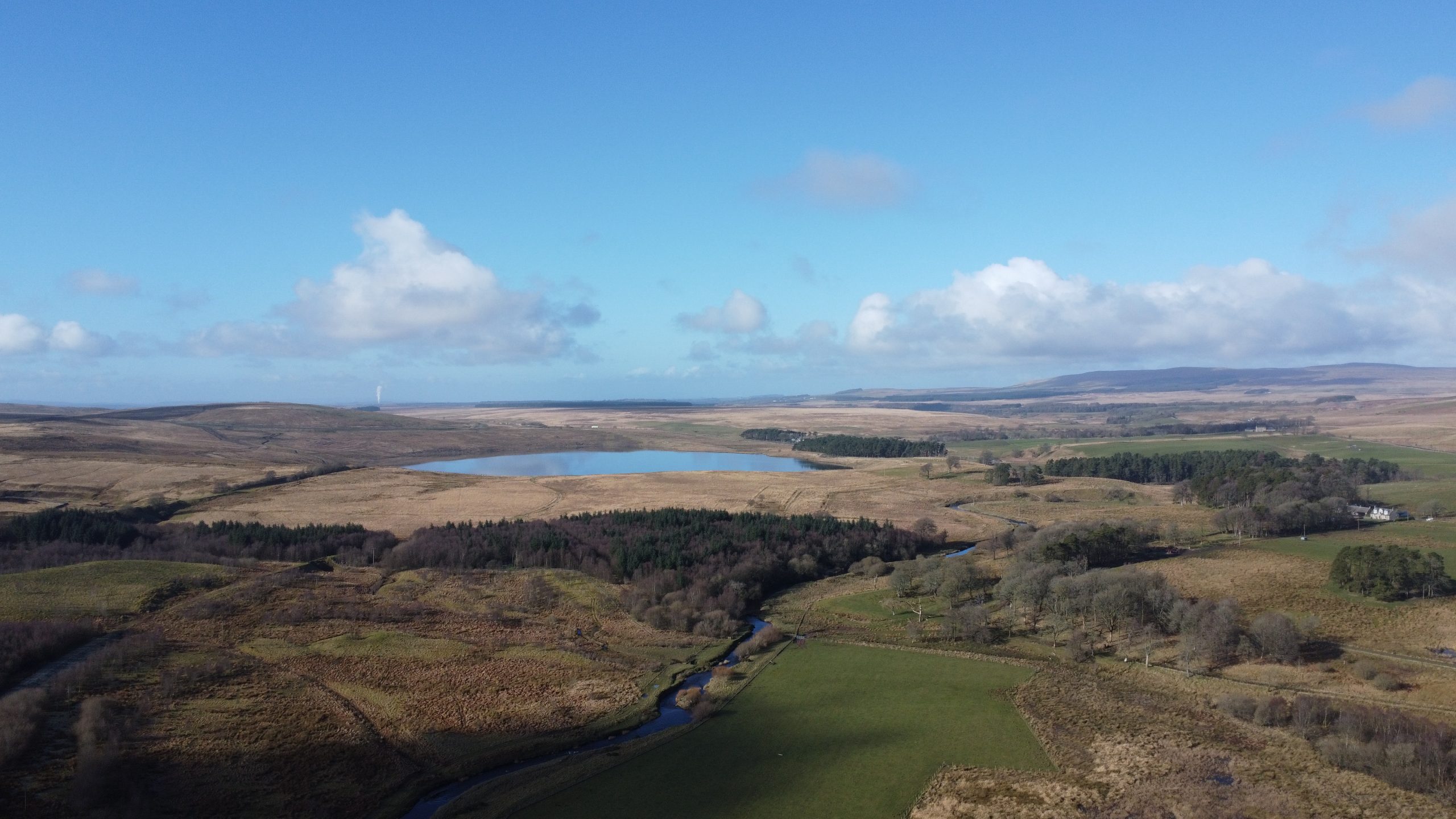
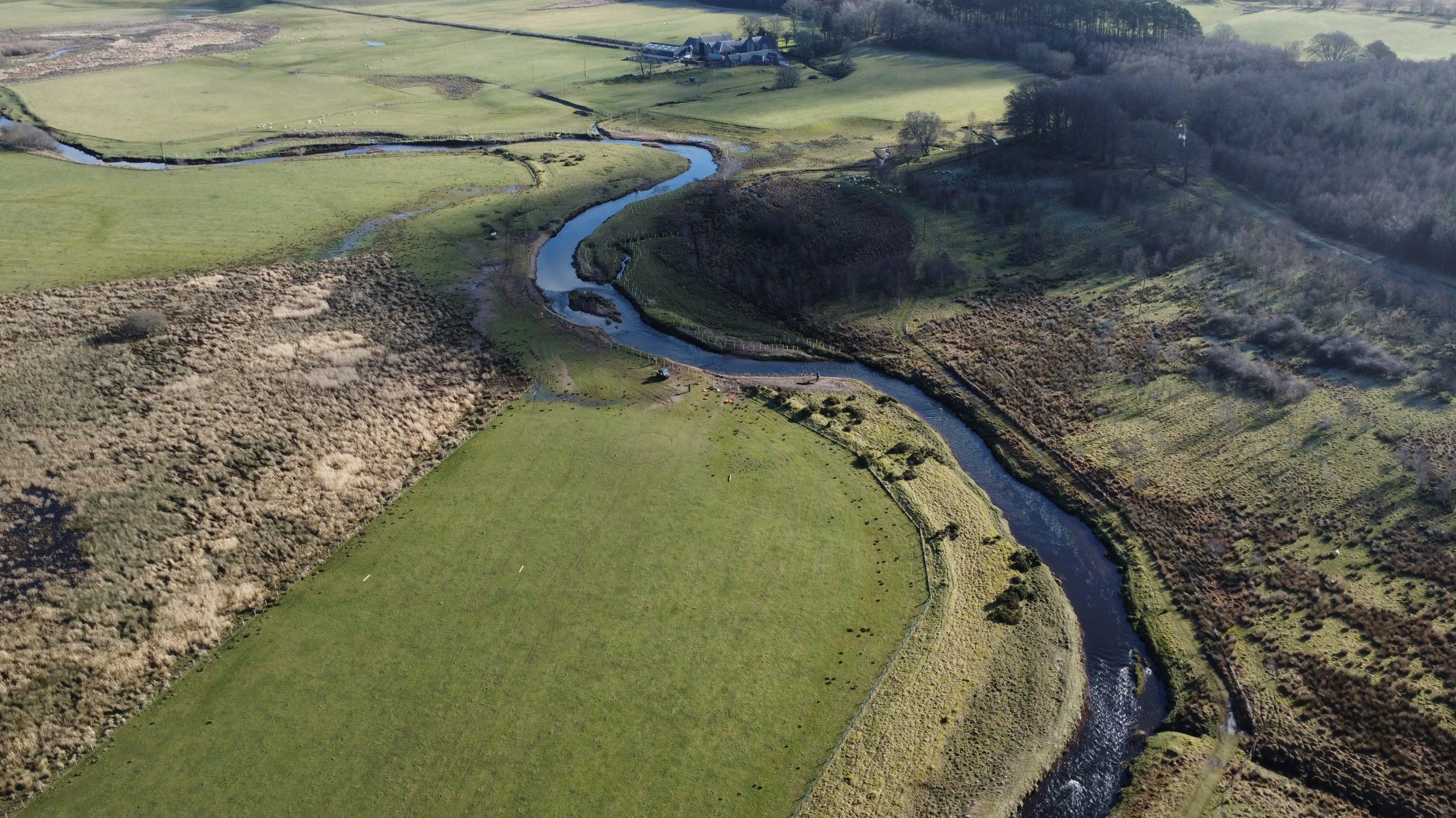
The River Ayr has a catchment area of 574km2 and its principal tributaries include the Greenock Water, Lugar Water, Water of Fail and Water of Coyle.
Principal land uses in the catchment area are agriculture, forestry, mineral extraction, leisure and recreation and urban development, the largest settlements being Ayr, Cumnock, Catrine, Ochiltree, Muirkirk and Sorn.
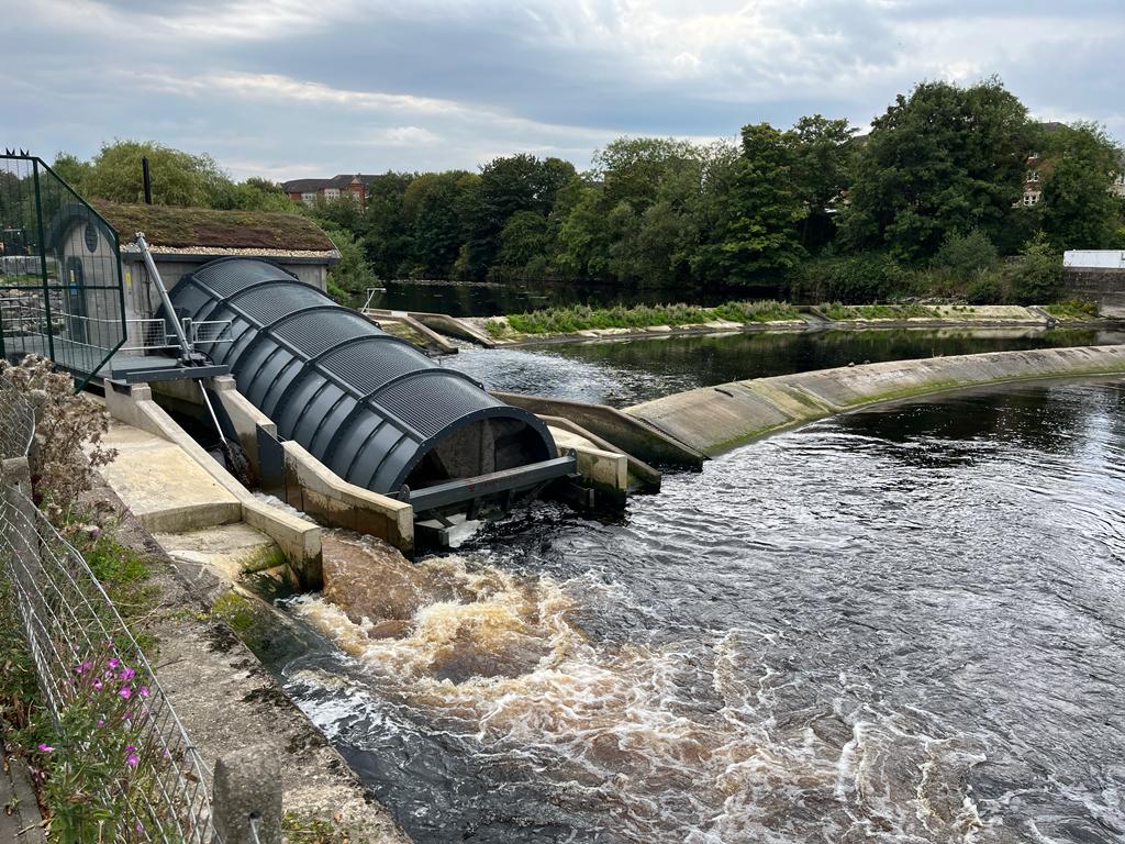
Notable features include Sites of Special Scientific Interest (SSSI’s) at Howford, near Mauchline and the Failford Gorge, Catrine Dam and hydro scheme and the newly completed Nethermills Archimedes Screw Hydro at Ayr.
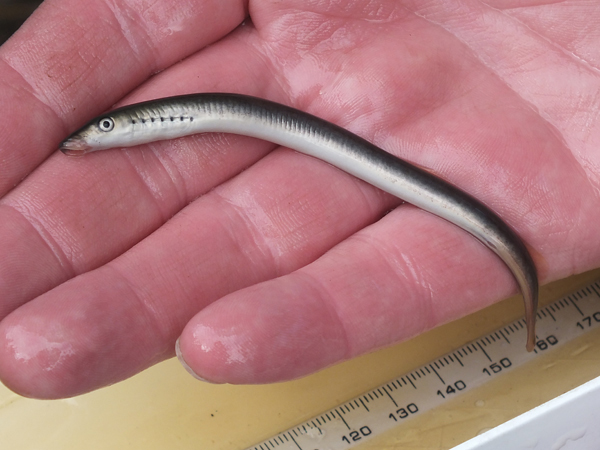
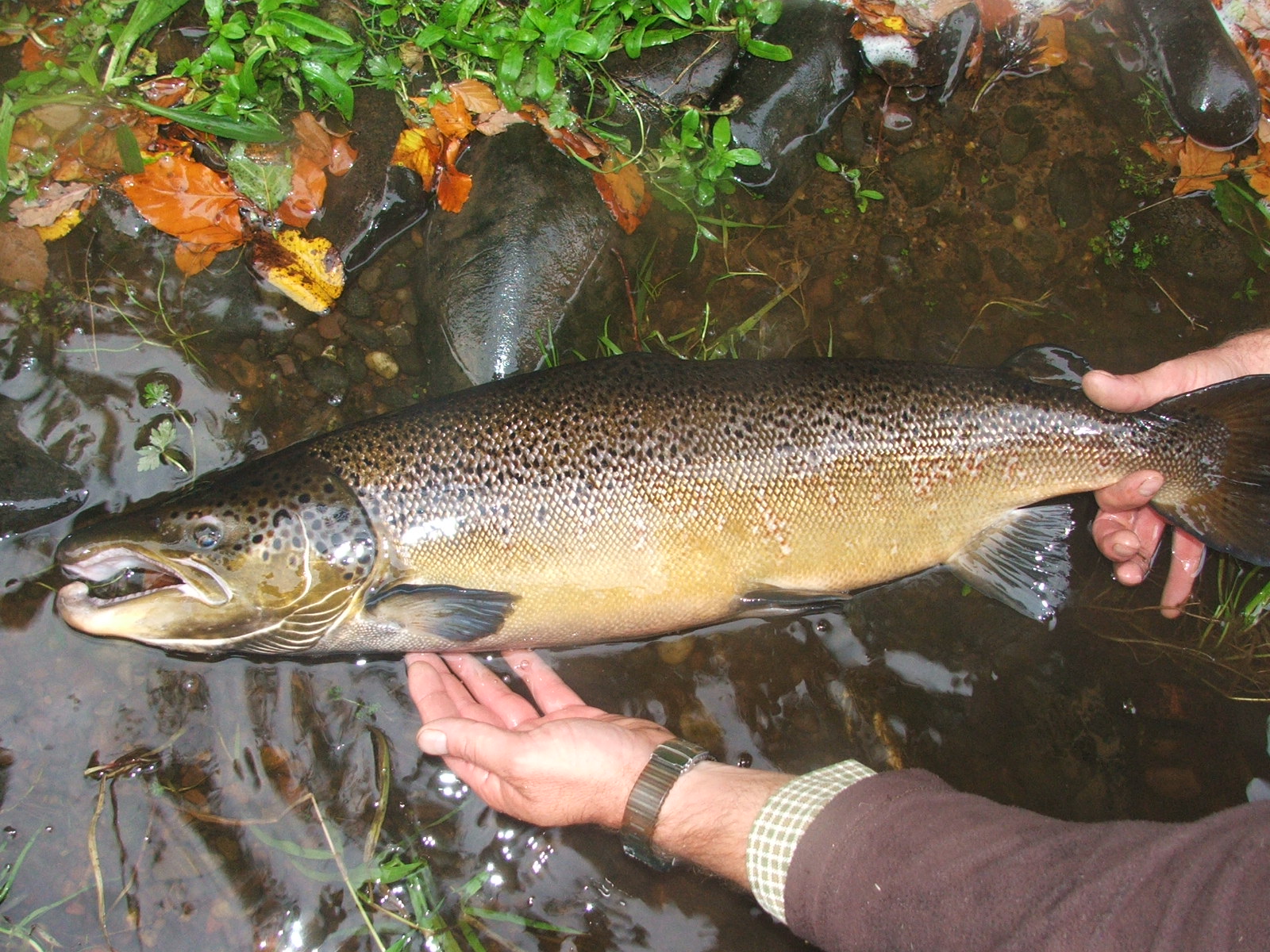
Fish species include salmon, sea trout, brown trout, grayling, eel, stickleback, minnow and stone loach.
River management is undertaken by the River Ayr District Salmon Fishery Board, riparian owners and numerous angling clubs along the river. Ayrshire Rivers Trust works closely with river managers and provides advice and guidance on all aspects within the catchment.
River Ayr Fishery Management Plan
(information, data and content held within this FMP cannot be used or shared without prior written permission):

River Ayr Catchment Map highlighting all tributaries.
Support us!
Every small donation helps! Payment by credit/debit card is quick and easy.
To view current River Ayr water levels:
Key Features
General
- Largest river in Ayrshire
- Large human population in middle and upper reaches, e.g. Cumnock
- Intensive dairy farming thoughout the catchment
- ‘Source to sea’ River Ayr Way opened by East Ayrshire Council in 2006
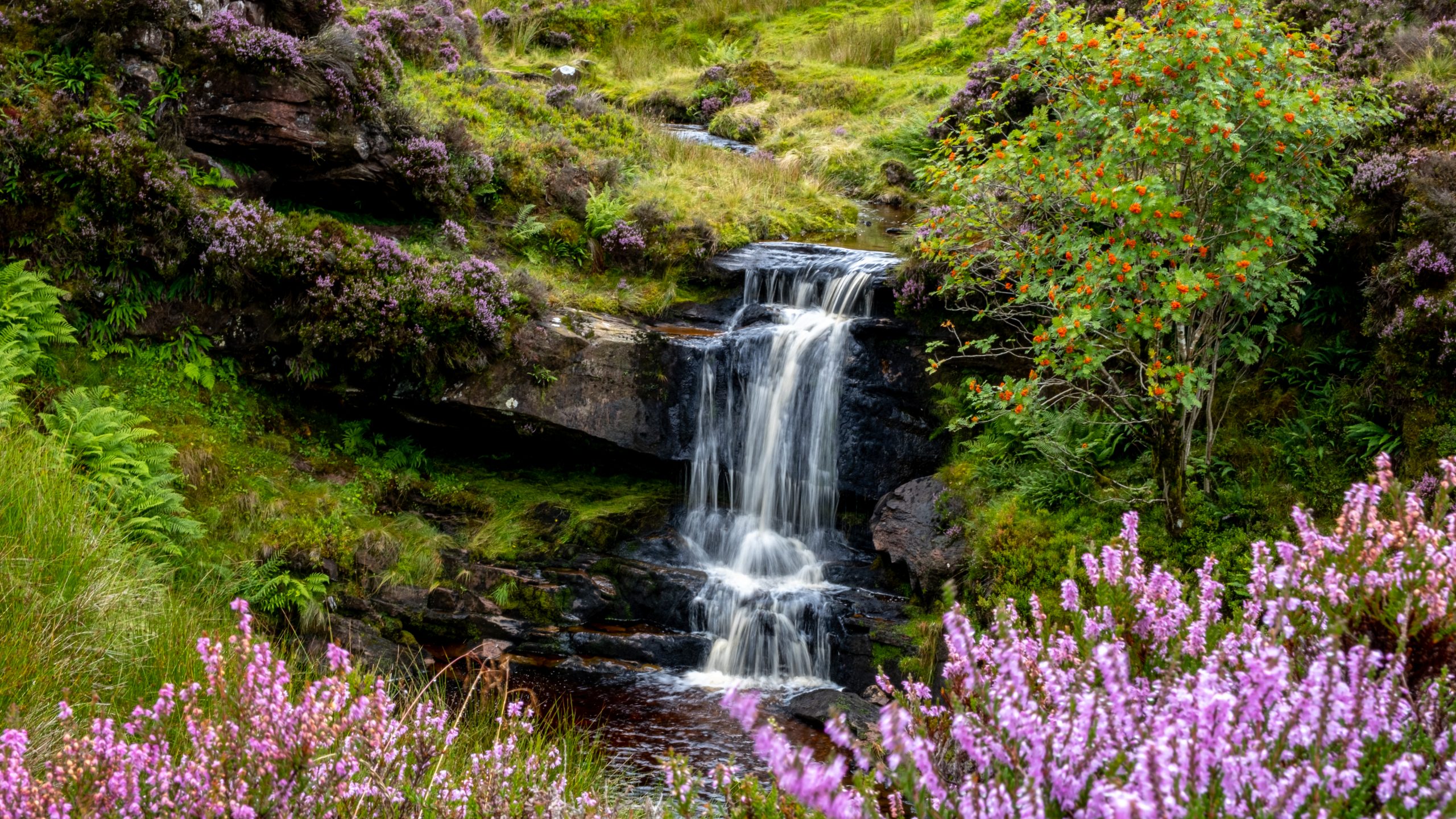
- High scenic value in areas such as Failford Gorge SSSI and in and around Mauchline and Catrine
Catchment Characteristics
- Productive soils on Permian sandstones and the Carboniferous Scottish Coal Measures including cyclic sedimentary deposits of economic value
- Salmon in tributaries with altitudes over 300m, highest reached by salmon in Ayrshire
- No large natural stillwaters in catchment, although many small lochs stocked with rainbow trout
Industrial Past
- Very high conductivity levels, increasing with distance from sea, primarily due to inputs from historic and mining activities
- Iron input from resurging minewater in upper catchment
- Industrial heritage of mining and mills e.g. Catrine Dam which is registered as a recognised Ancient Monument
- Several old mill structures hinder fish migration
- Modern industry e.g. chipboard plant, opencast mines
- Constant threat of pollution from operational and disused coal mines
- Low impact of conifer forestry and acidification compared to other Ayrshire rivers
Biodiversity
- Juvenile salmonid production greatest in cleaner upper tributaties
- Grayling population unique in Ayrshire from source to sea except on the Luggar upstream of Ochiltree weir. (River Irvine population extinct)
- All three native lamprey species have been recorded
- Otters are present throughout catchment
- Water voles are present in some upper reaches
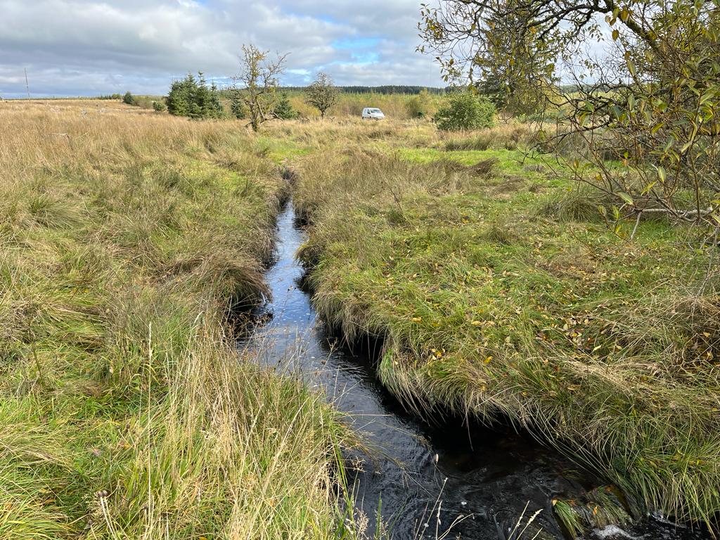
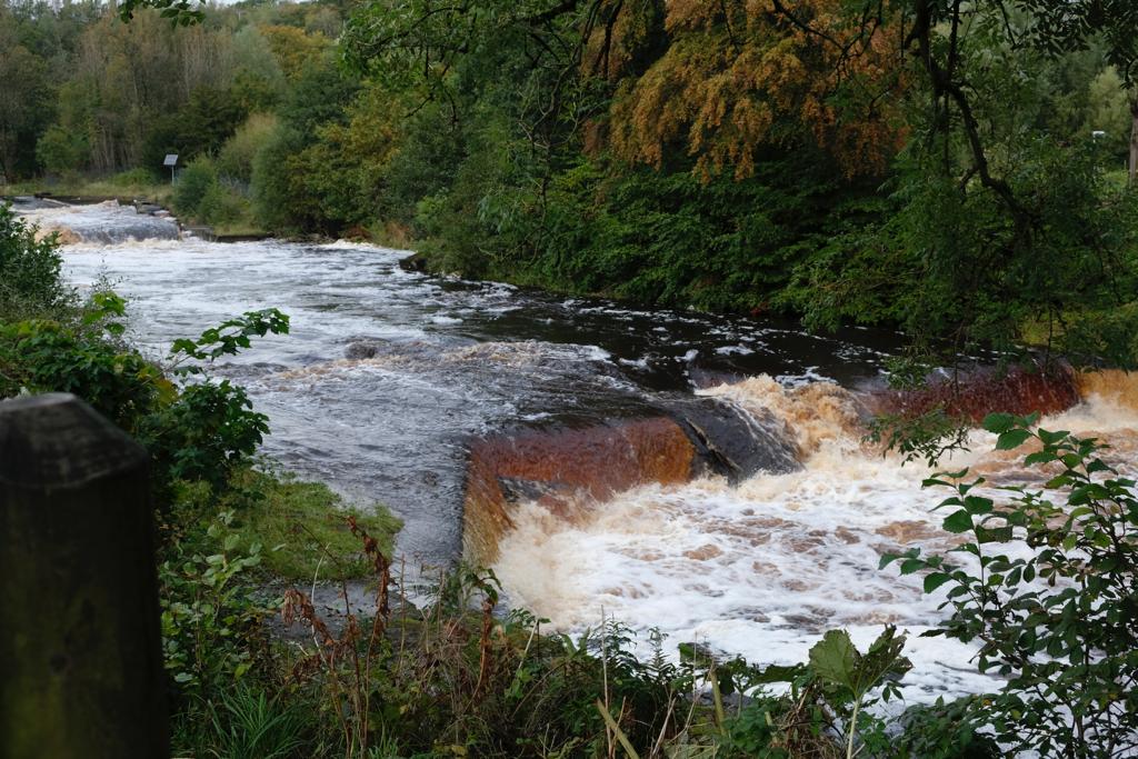
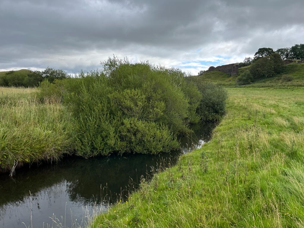
River Ayr Gallery

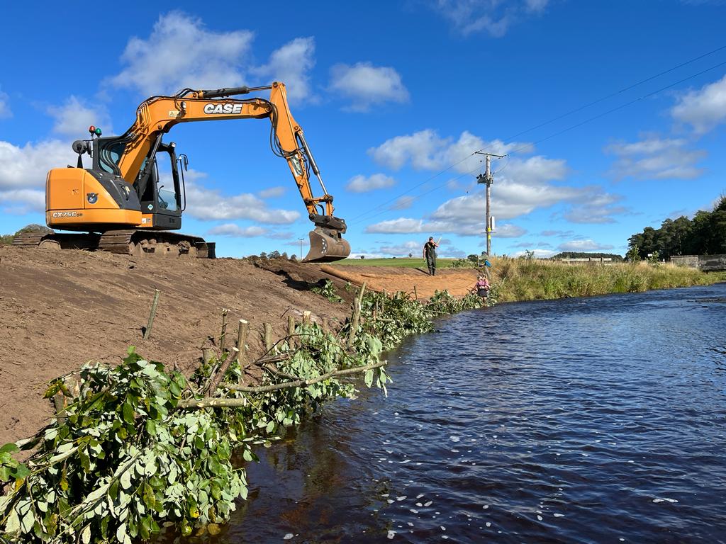

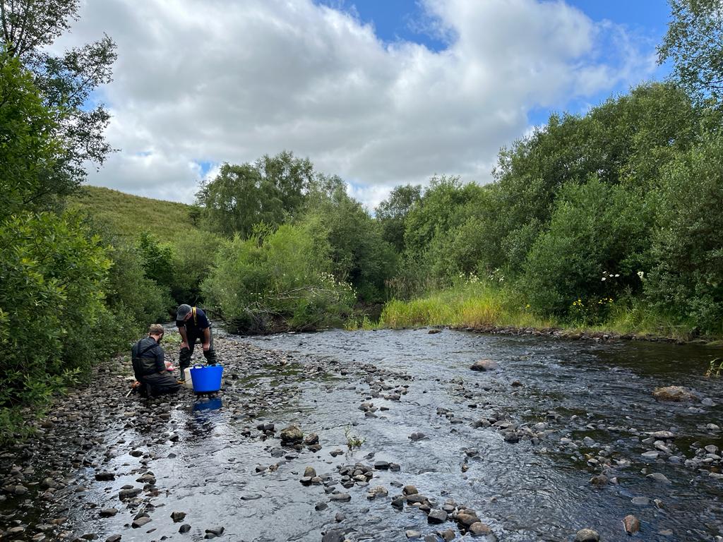
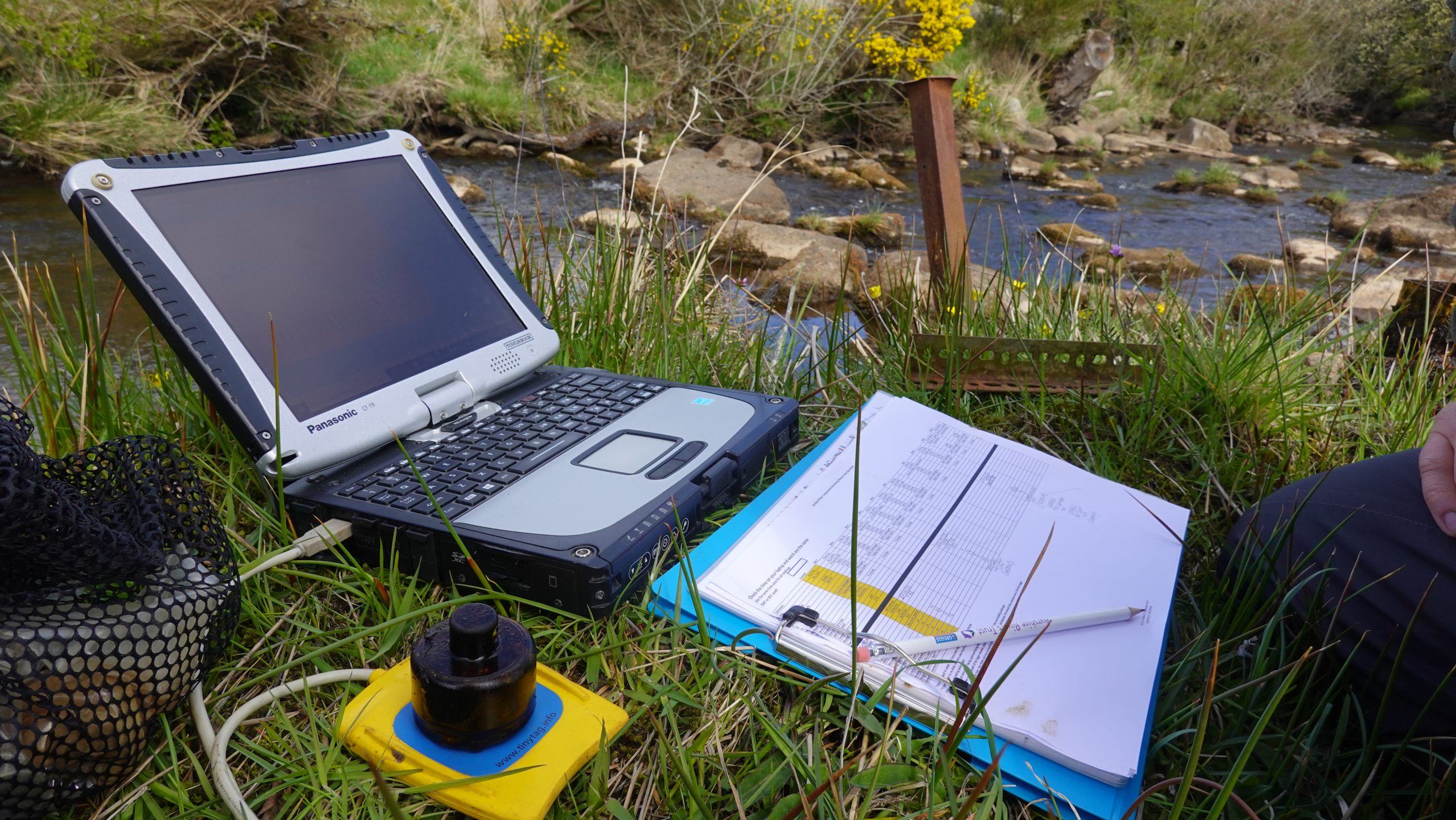
Monitoring and science on the River Ayr
Data is collected to allow evidence based management and restoration