River Garnock
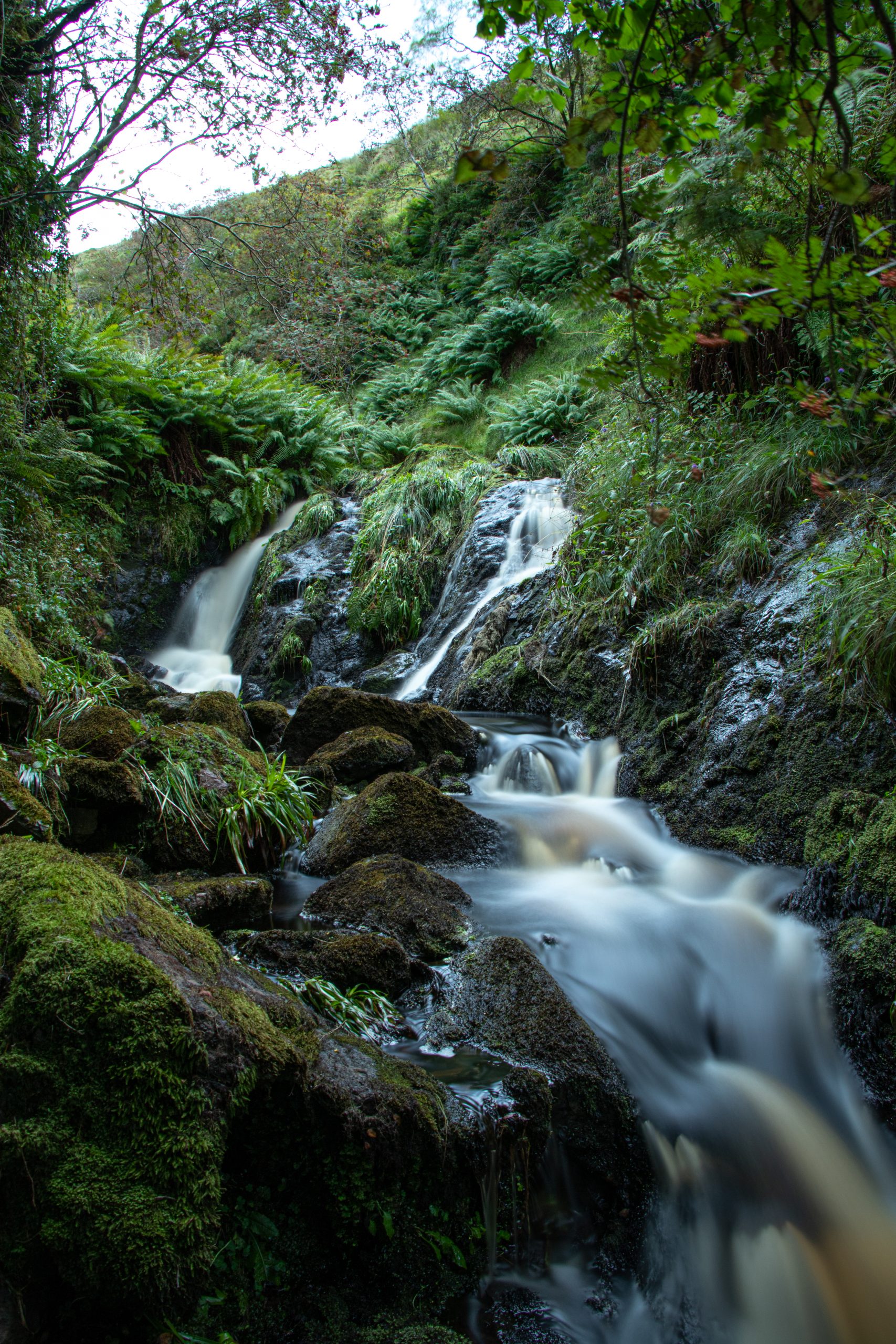
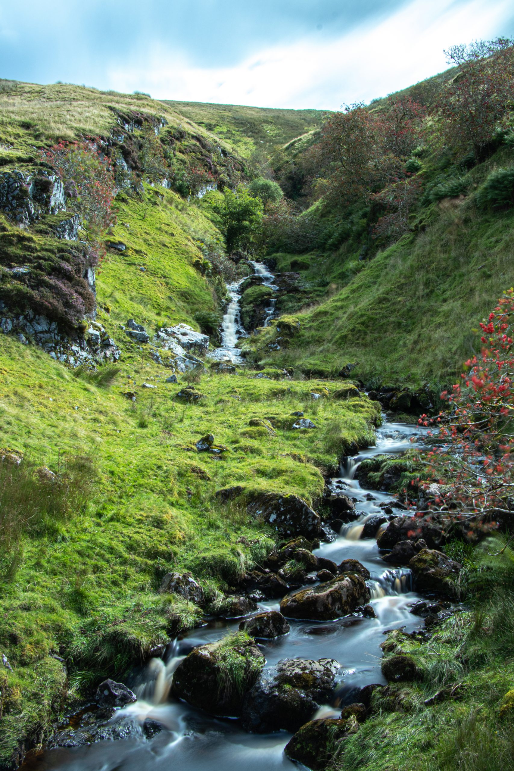
The smallest of Ayrshire’s six principal rivers, the Garnock’s source is in the Muirshiel Hills above Kilbirnie.
From here the Garnock flows for 39km before entering the sea, via a shared estuary with the River Irvine. Although it has a catchment area of 238km2, similar to the River Girvan, the Garnock itself is a relatively small river as its largest tributary, the Lugton Water, meets the Garnock below the tidal limit.
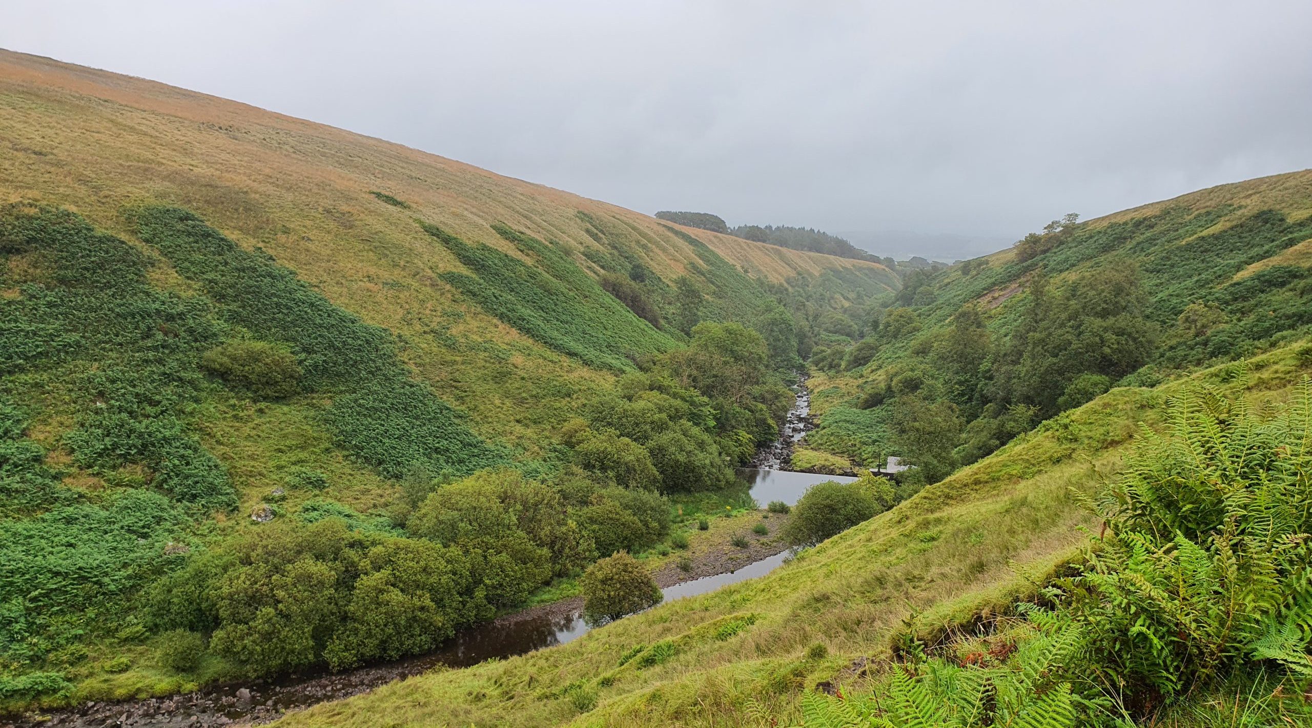
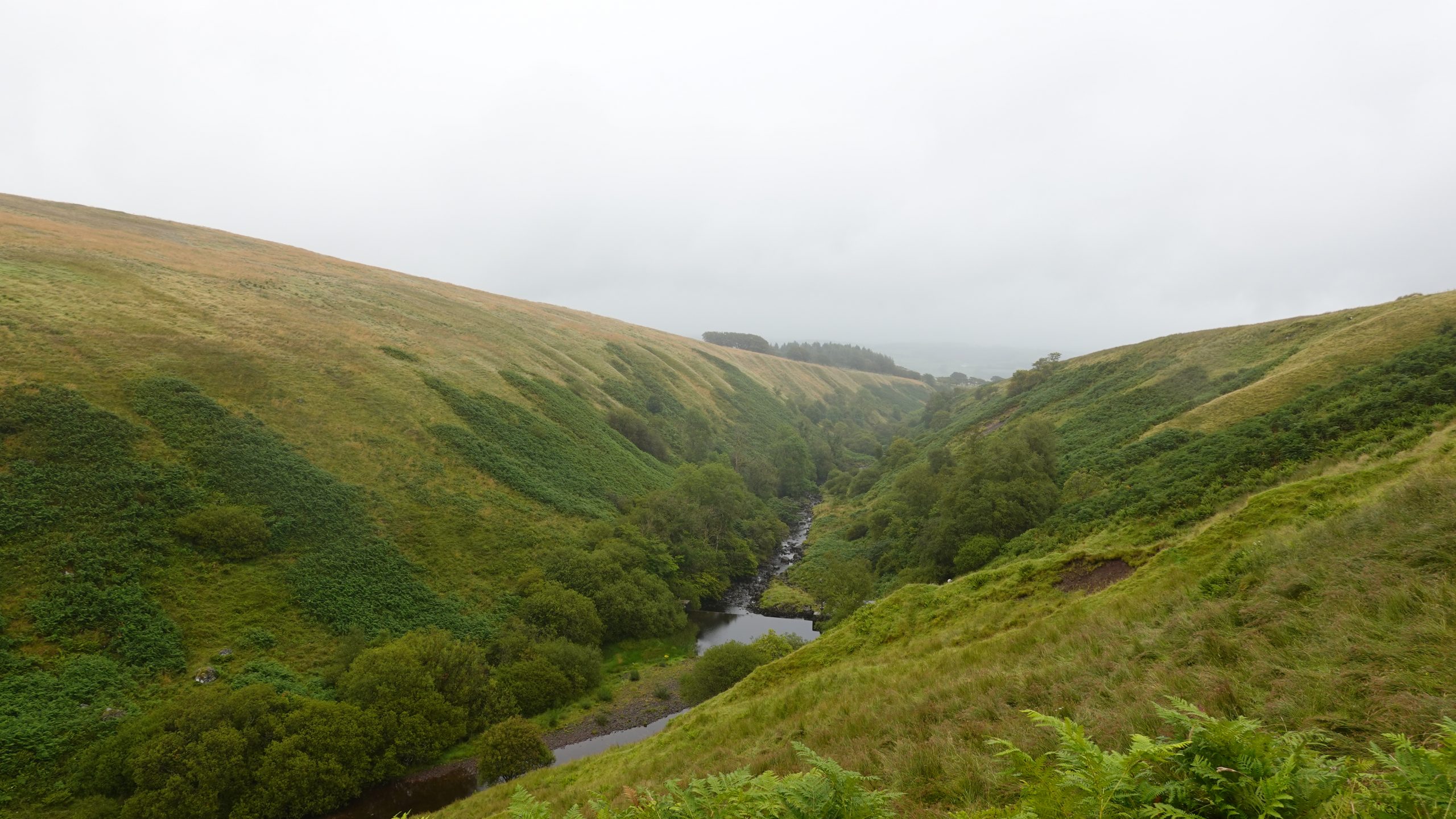
Principal land uses in the catchment area are agriculture, moorland and urban development. The most significant land use, forming 74% of the total, is improved or good rough grassland, much of which is intensively grazed. There is a relatively low level of forest cover (6.9%) in the Garnock catchment compared to rivers such as the Stinchar.
The Garnock flows through three large towns, Kilbirnie, Dalry and Kilwinning. Water management within the catchment is currently under review in the River Garnock catchment flood defence strategy.
The fishery on the River Garnock is managed by the angling clubs based in the three towns along the course of the river. The West Strathclyde Protection Order 1988 means that it is an offence to fish for freshwater fish within parts of the Garnock catchment without written permission.

River Garnock Catchment Map highlighting main tributaries.
Support us!
Every small donation helps! Payment by credit/debit card is quick and easy.
Key Features
General
- With a catchment area of 238km2 The Garnock is the smallest of the six principal rivers in Ayrshire
- Many water supply reservoirs constructed in the hills on the west side of the catchment. Caaf Water receives a compensation flow of 3.4Ml/day from the Camphill Reservoir
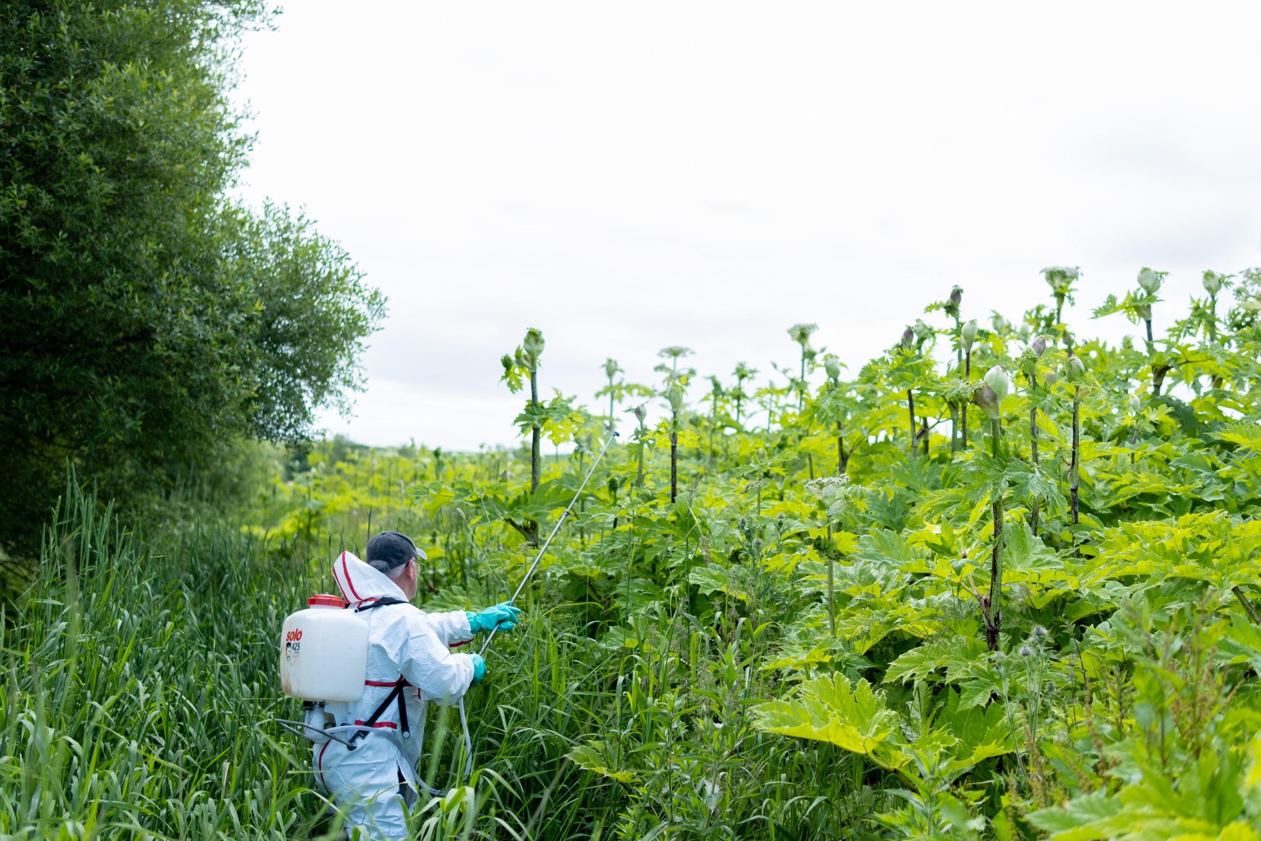
- Several stillwaters within the catchment are operated as coarse fisheries, increasing the risk of establishment of alien species within river habitat
Catchment Characteristics
- Rises in the Muirshiel Hills above Kilbirnie from where it flows for 39km before entering the sea via the shared estuary with the River Irvine
- Major tributaries are the Rye Water, Caaf Water, Bombo Burn, Dusk Water and Lugton Water
- River flows through the centres of the following major urban centres: Kilbirnie, Dalry and Kilwinning
- Lugton water is the largest tributary with a catchment of 54km2
Biodiversity
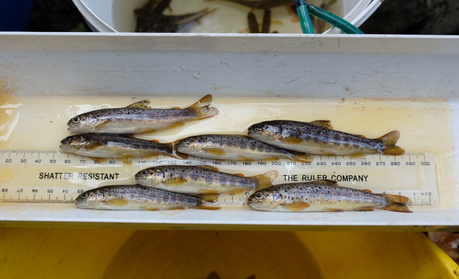
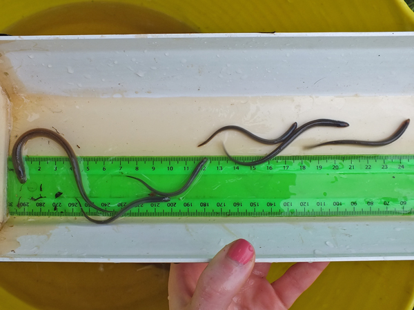
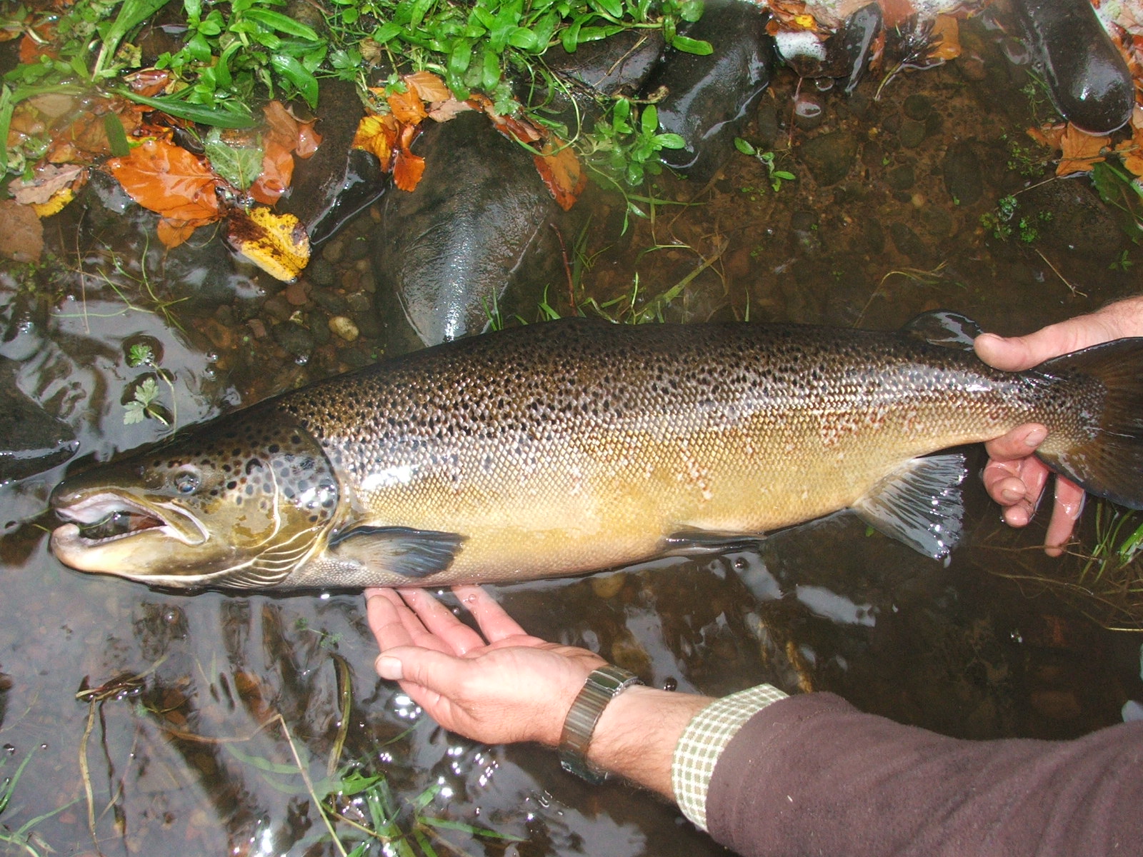
- Common fish species present include salmon, trout, eels, stone loach, minnows, sticklebacks and lampreys. Roach were also recorded in the upper Lugton Water during 2006 electrofishing survey
- Catchment suffers from many weirs and culverts which block or hinder passage of migratory fish
- Water quality in the Lugton is degraded due to influence of sewage and agricultural run-off
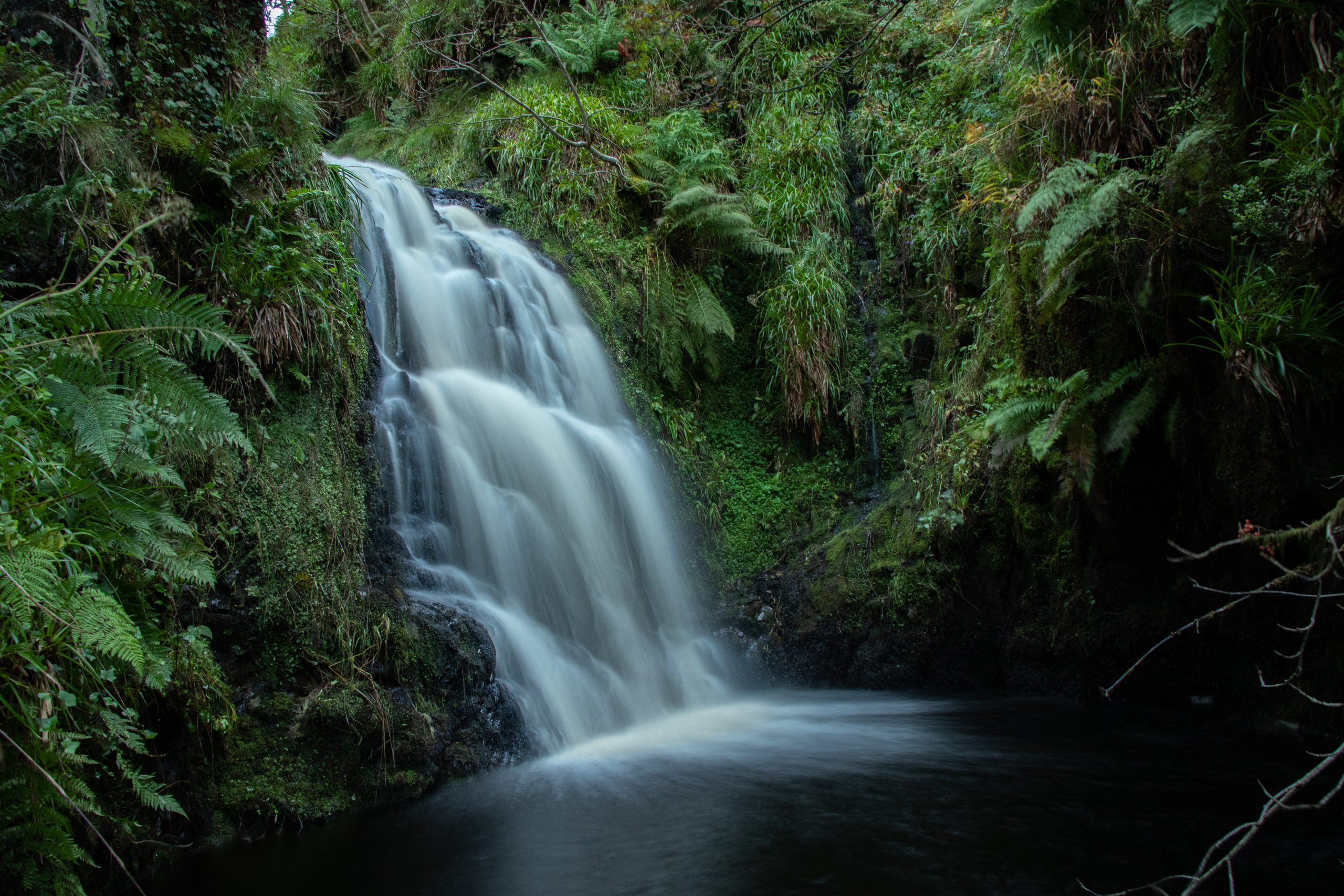
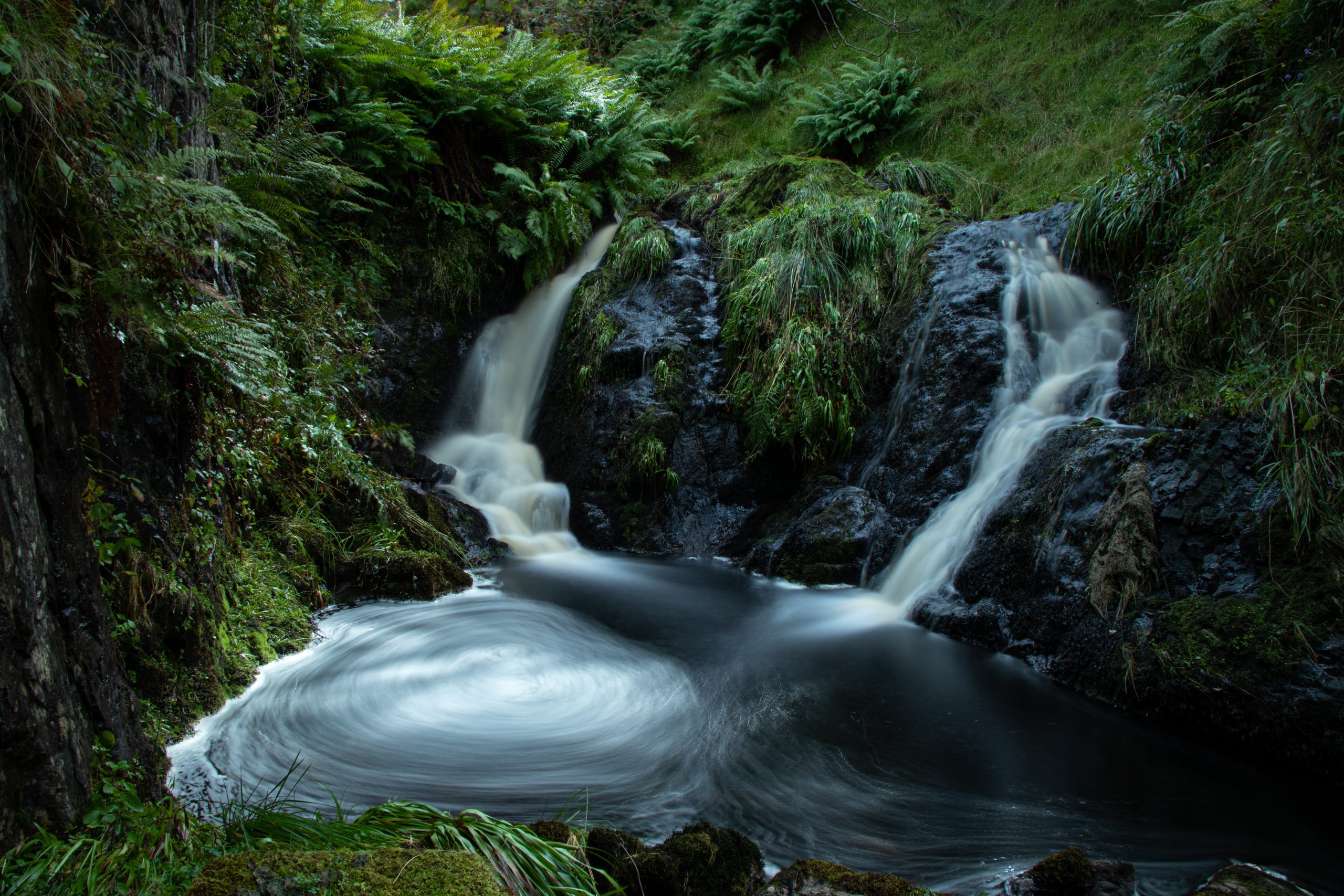
River Garnock Gallery


Monitoring and Science on the River Garnock
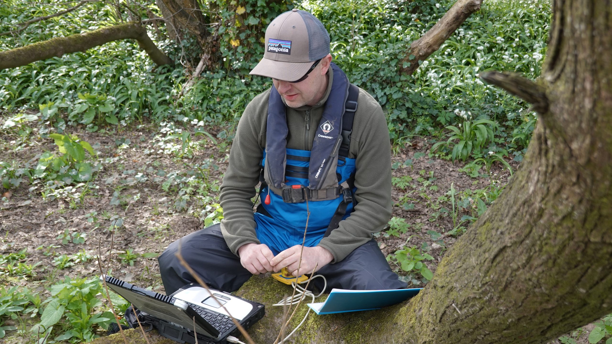
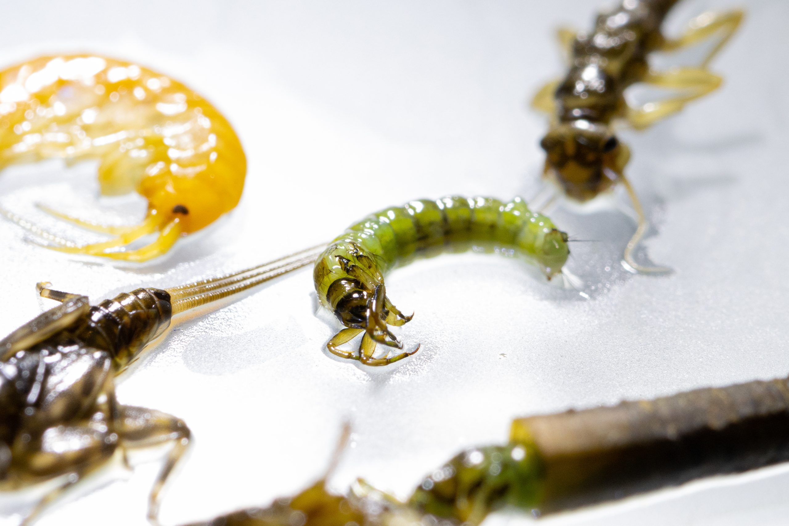
Data is collected to allow evidence based management and restoration