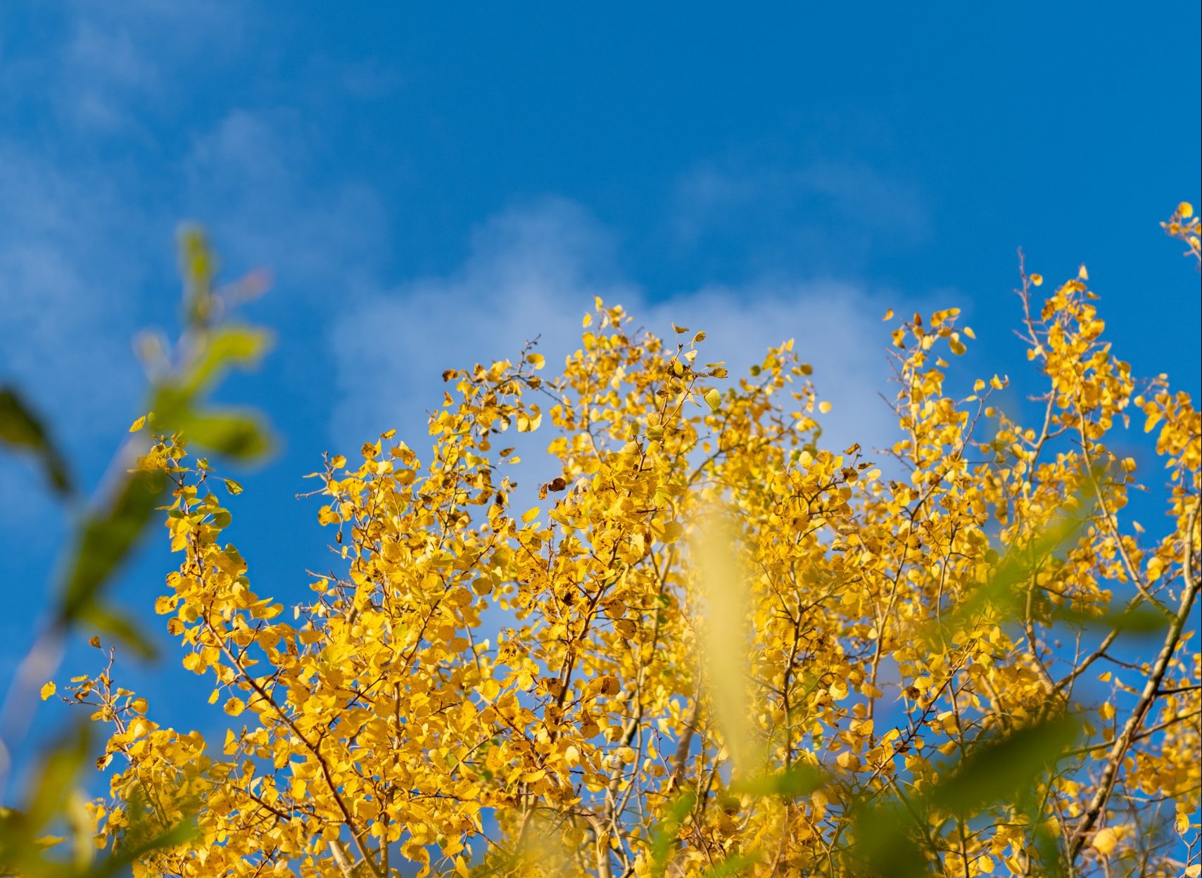
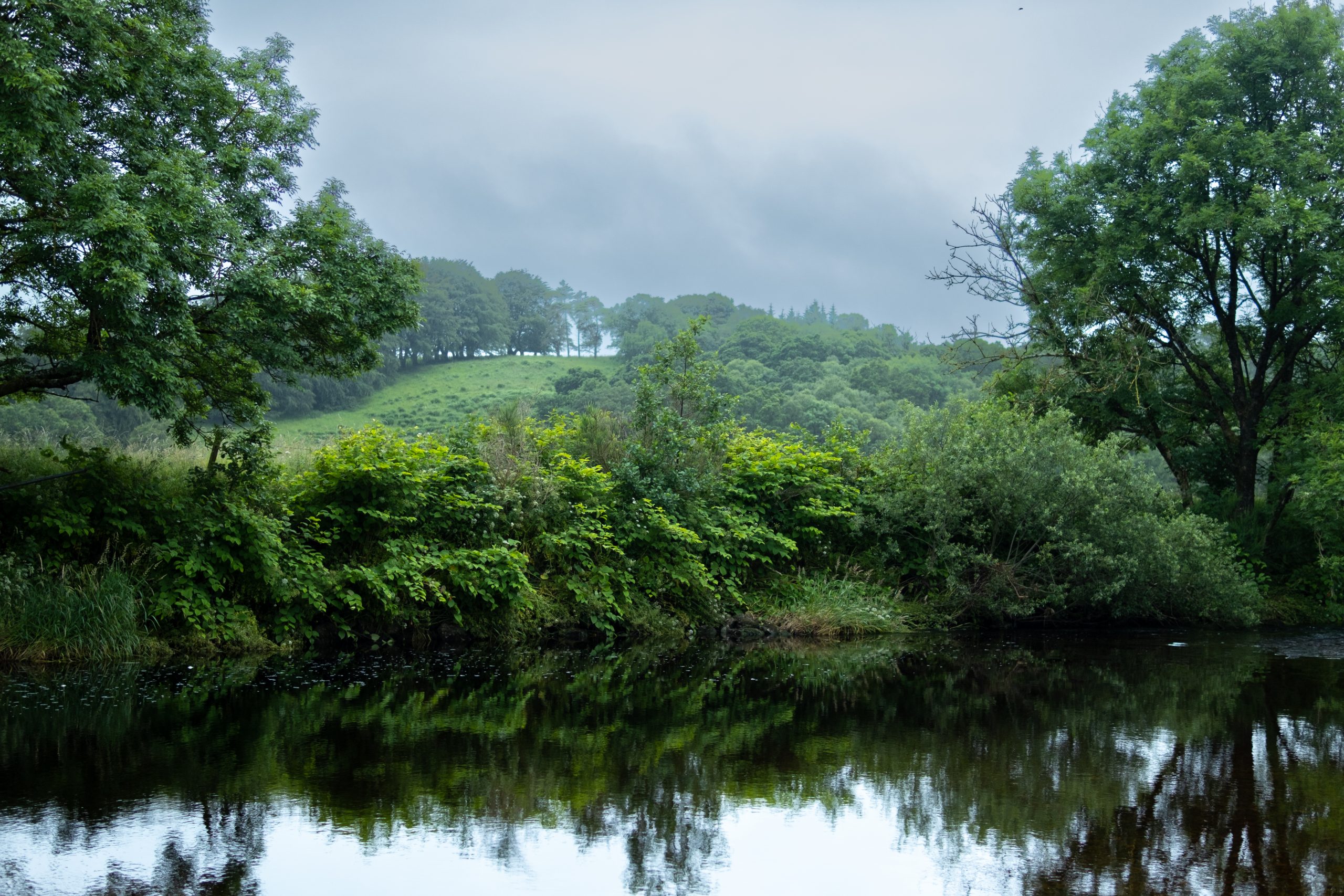
Ayrshire Rivers
Ayrshire River Catchments
The maps below show the geographical area we cover and the six rivers on which we focus our work:
The River Ayr, River Irvine, River Doon, River Garnock, River Girvan and River Stinchar.


The Rivers

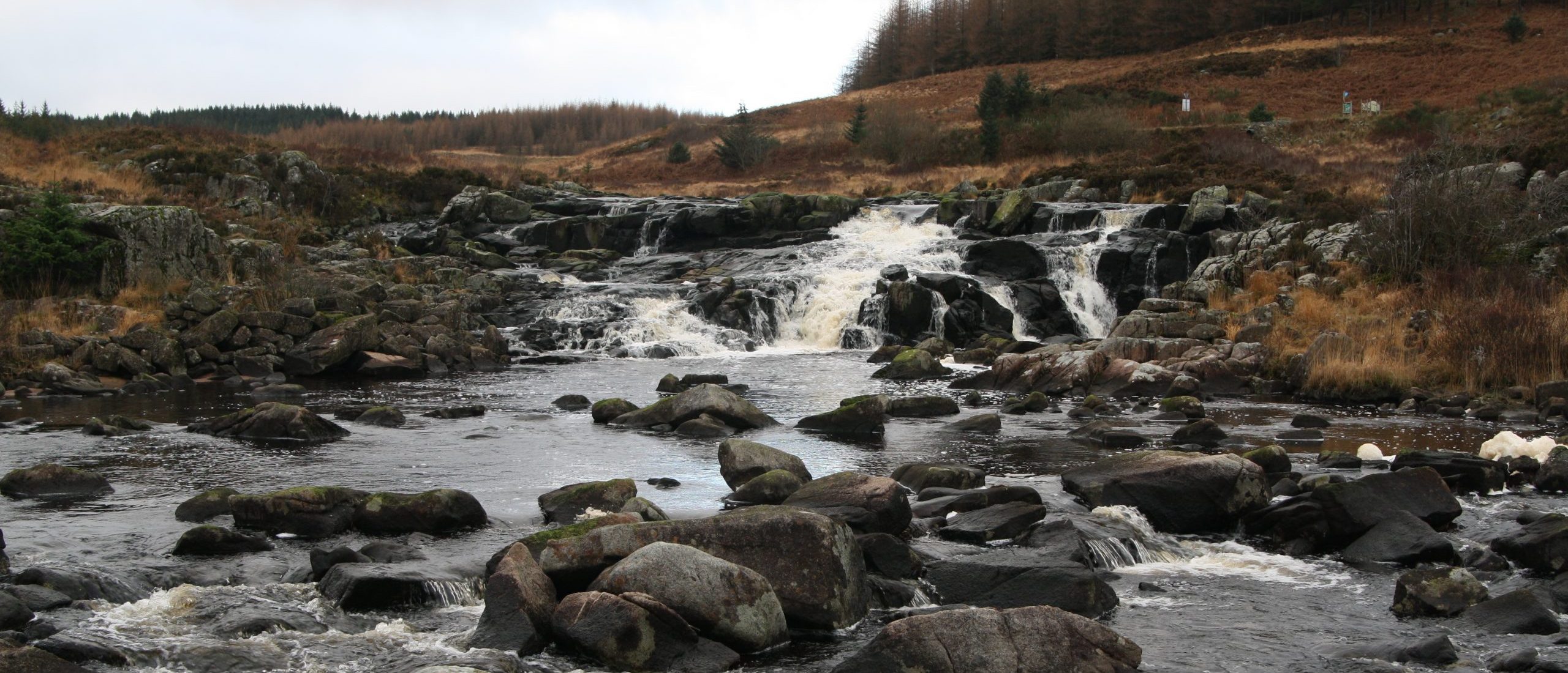
River Ayr
Ayrshire’s largest river rises at Glenbuck Reservoir on the boundary of Ayrshire and Lanarkshire and flows westwards 65 kilometres to its estuary at Ayr on the Firth of Clyde. It has a catchment area of 574 km2 and its principal tributaries include the Greenock Water, Lugar Water, Water of Fail and Water of Coyle.

River Doon
The head waters of the River Doon are the burns and streams feeding Loch Doon from the north edge of the Galloway Forest Park. The river is just over 63 kilometres long (including the Loch) and flows north west close to the town of Dalmellington, through the villages of Patna and Dalrymple before entering the Firth of Clyde just south of Ayr at Doonfoot.

River Girvan
The source of the River Girvan is Loch Girvan Eye, situated on the slopes of the Shalloch of Minnoch in the Galloway Hills, and only half a mile from the source of the Stinchar. The Girvan then flows through Lochs Cornish, Skelloch and Bradan, Ayrshire’s major water supply reservoir, before making a broad sweep north close to the villages of Straiton and Kirkmichael and then south-west past Crosshill and Dailly to reach the sea at Girvan.

River Stinchar
The River Stinchar has its headwaters in the Carrick Forest to the north of the Galloway Forest Park, only one kilometre from the source of the River Girvan. It has a main drainage course of 54km and initially flows north but for the majority of its length flows south-west via Barr, Pinwherry and Colmonell, finally entering the sea at Ballantrae.

River Garnock
The smallest of Ayrshire’s six principal rivers, the Garnock’s source is in the Muirshiel Hills above Kilbirnie. From here it flows for 39km before entering the sea, via a shared estuary with the River Irvine, but both rivers function entirely separately of each other. Although it has a catchment area of 238km2 similar to the River Girvan, the Garnock itself is a relatively small river as its largest tributary, the Lugton Water, meets the Garnock below the tidal limit.

River Irvine
Ayrshire’s second largest river rises above Loudoun Hill on the boundary of East Ayrshire and Lanarkshire. From there it flows for 42km westwards to Irvine Bay on the Firth of Clyde. It shares an extensive estuary with the River Garnock. This is the only significant estuary in Ayrshire, providing excellent bird habitat.
Fisheries
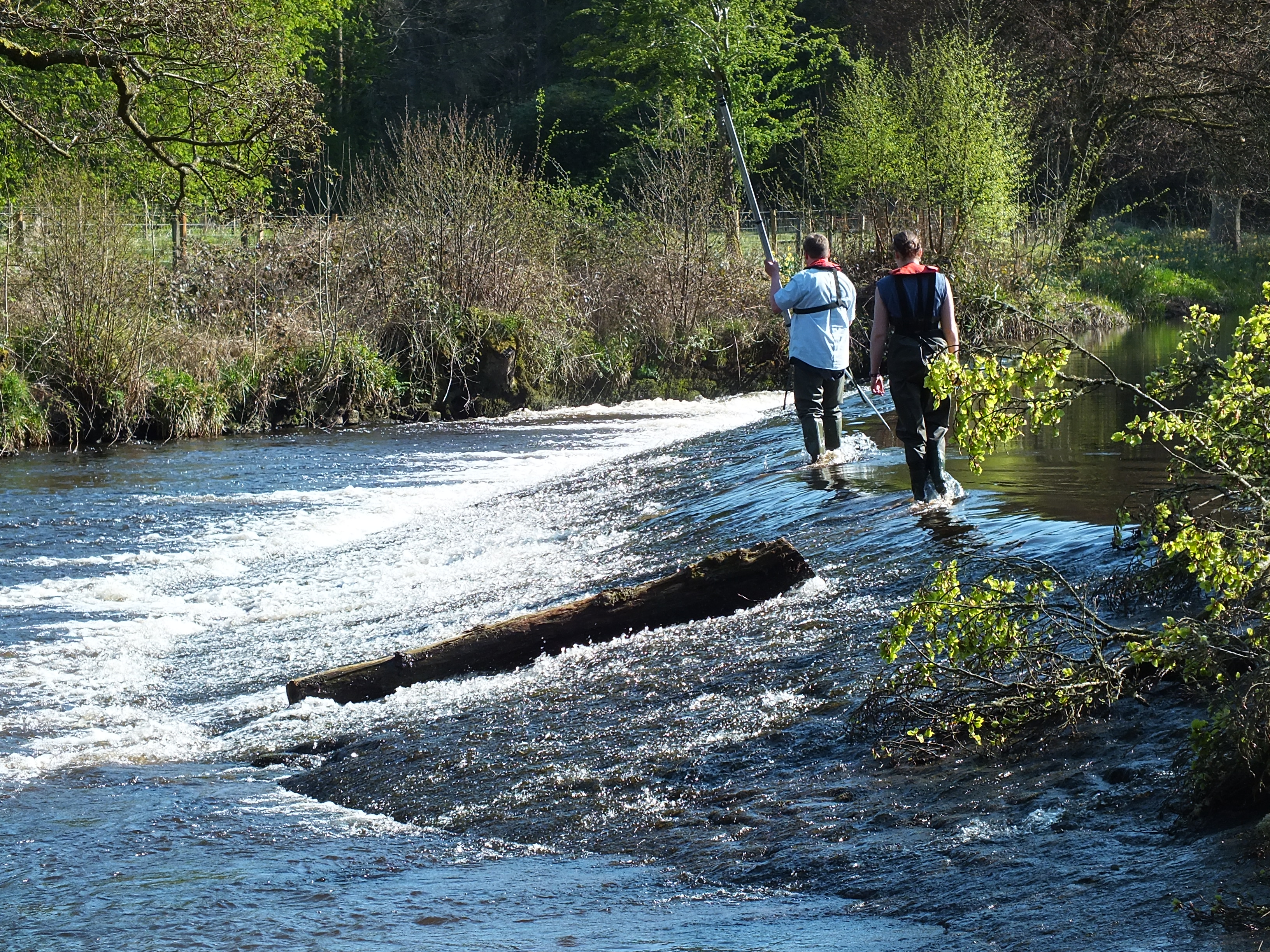
ART provide guidance and advice to District Salmon Fishery Boards (DFSBs), angling clubs and riparian owners based on sound scientific research. ART work with the Boards to improve catch and release rates on the rivers and ultimately increase the numbers of returning adult salmonids. This benefits anglers and owners by improving available habitat for fish across Ayrshire.
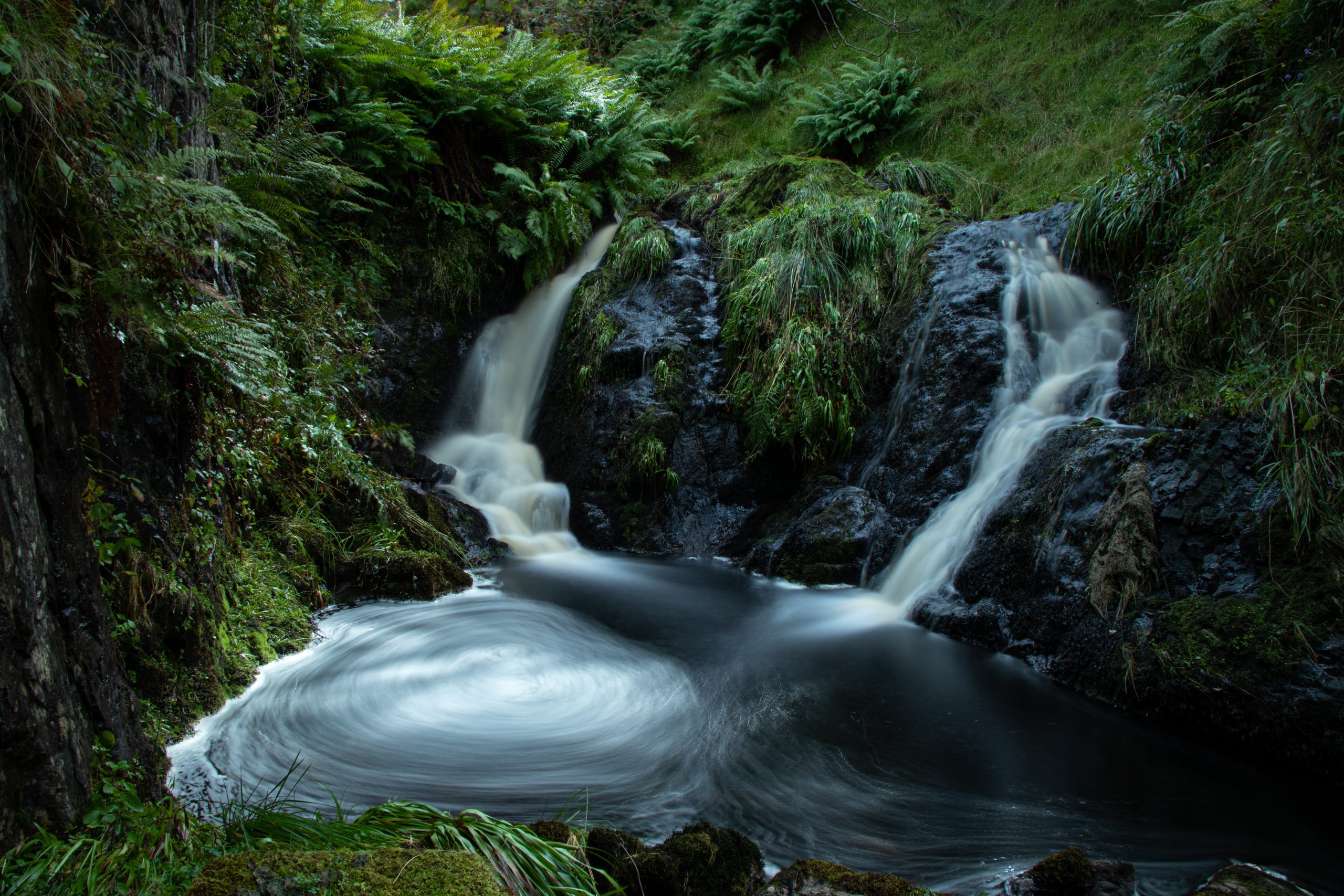
Habitat
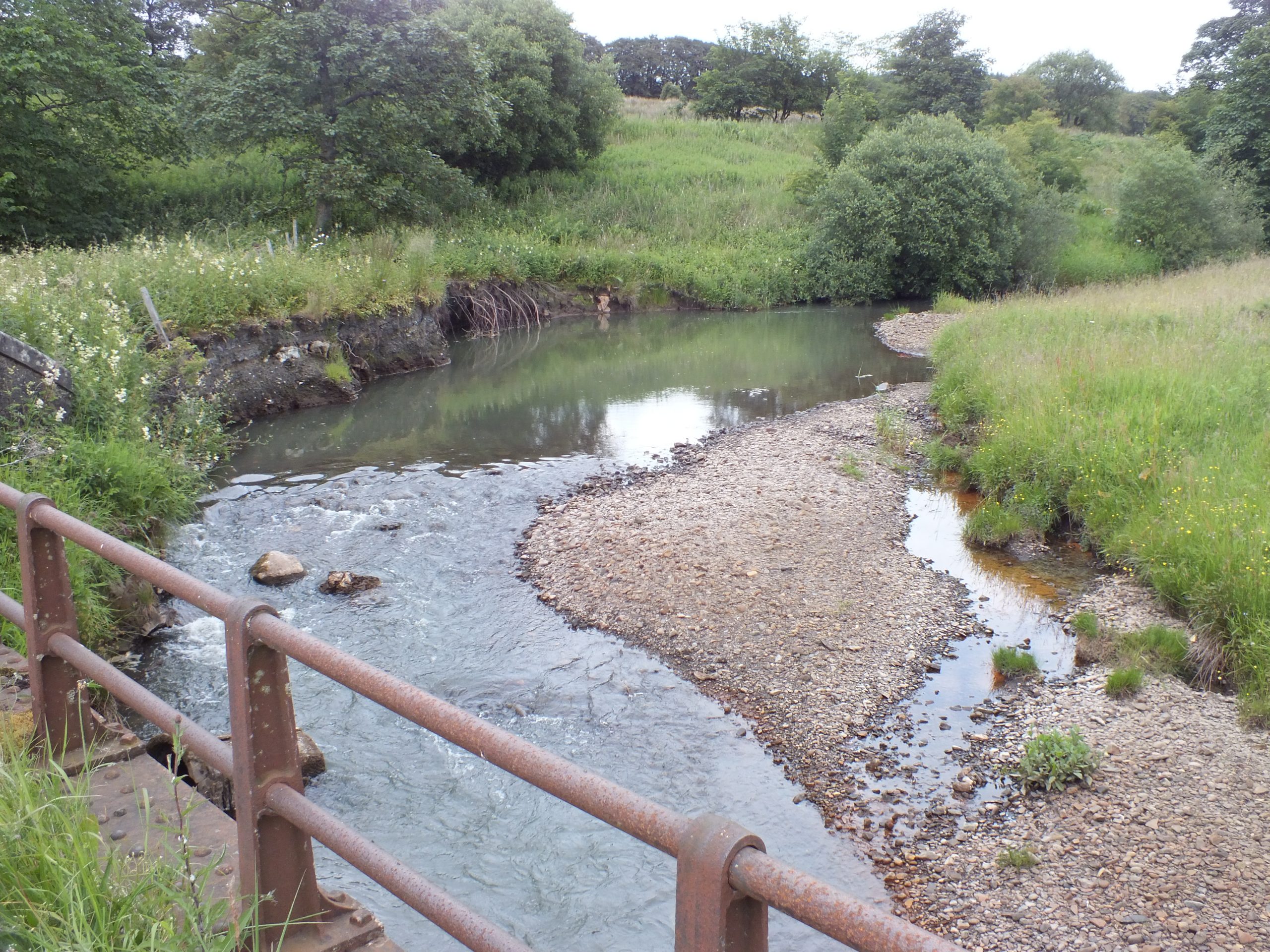
Ayrshire, with its high human population density, intensive agriculture and historic industrial activity has had a detrimental impact on water quality and riparian habitats.
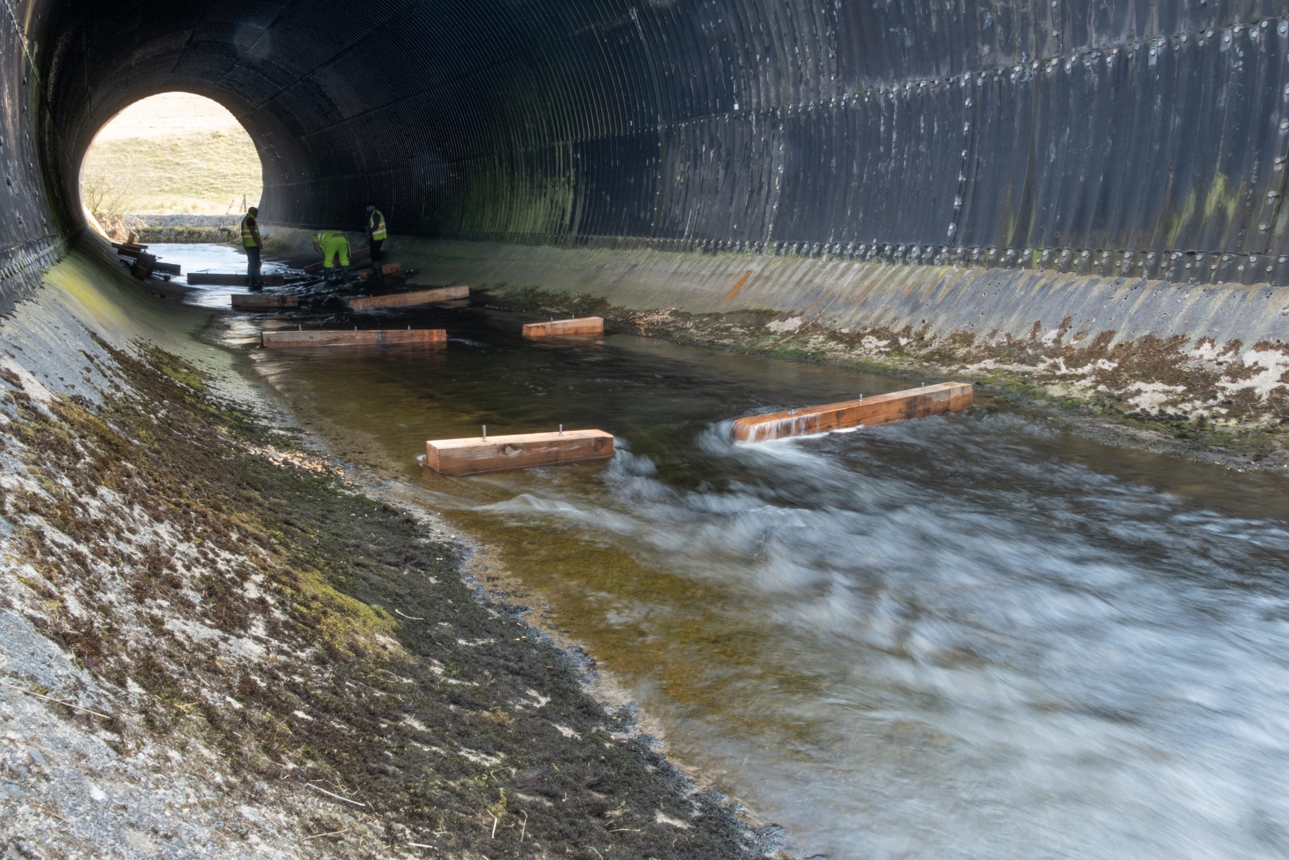
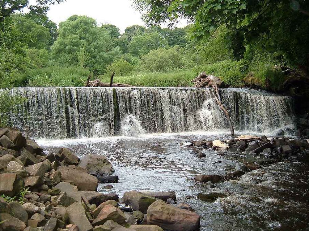
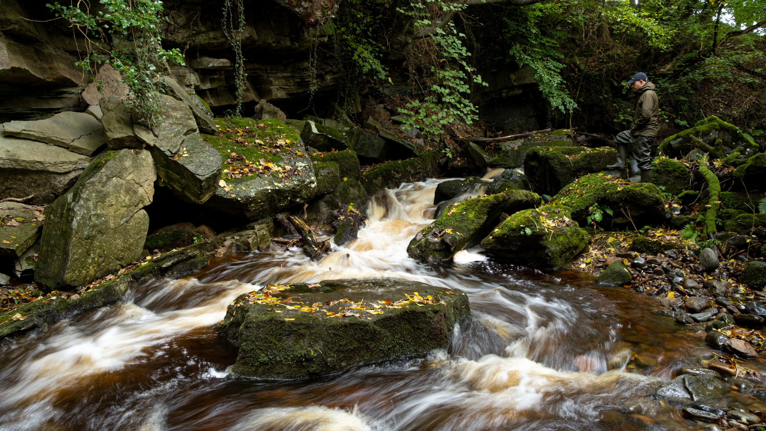
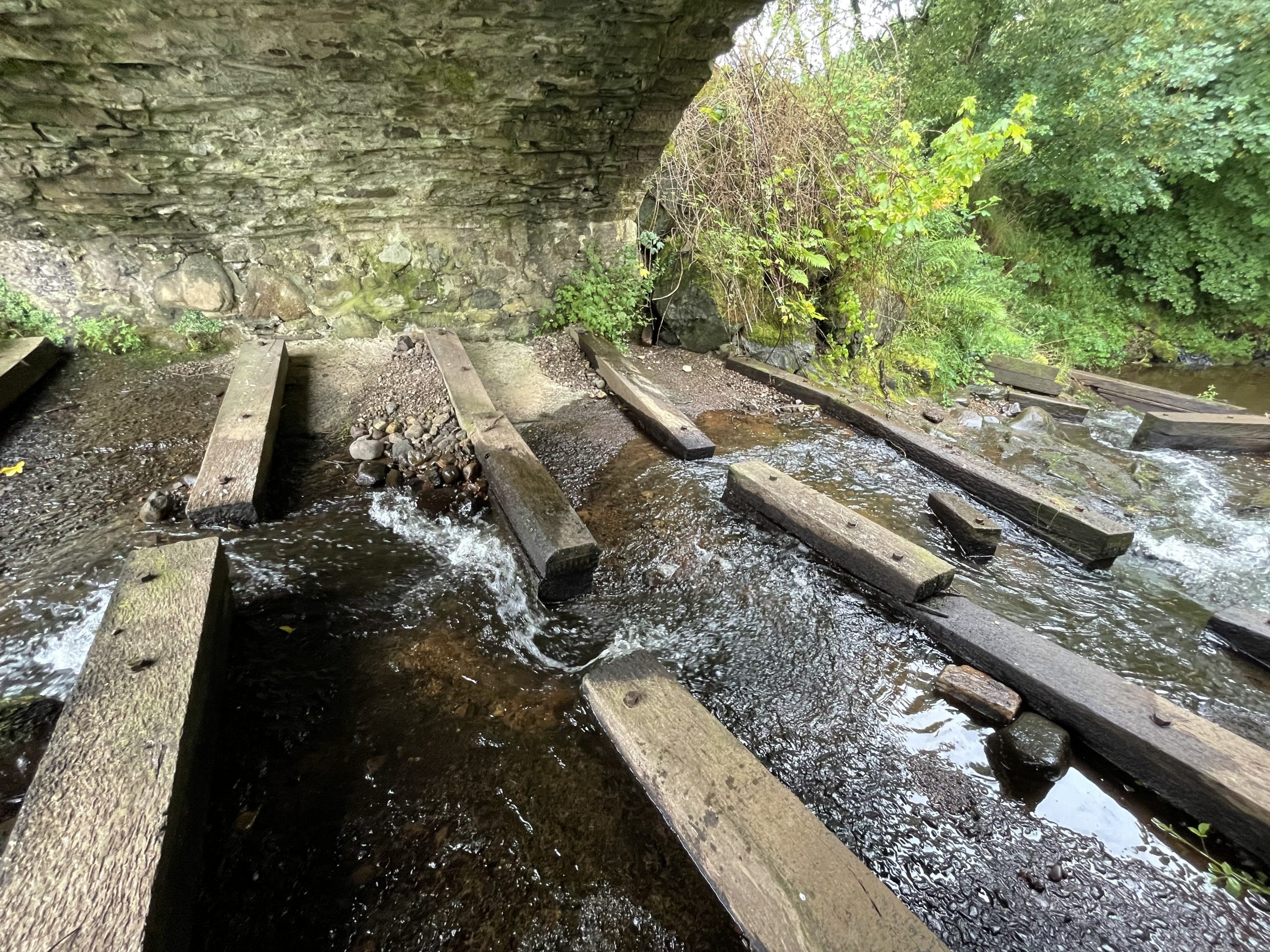
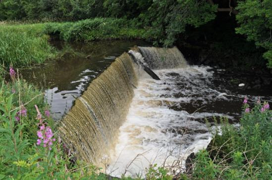
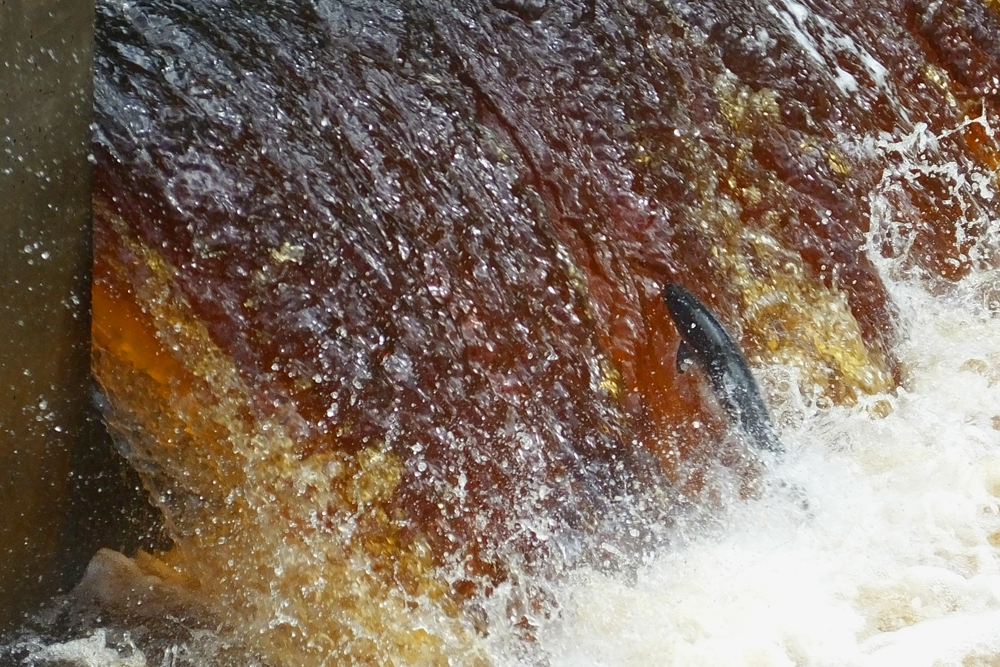
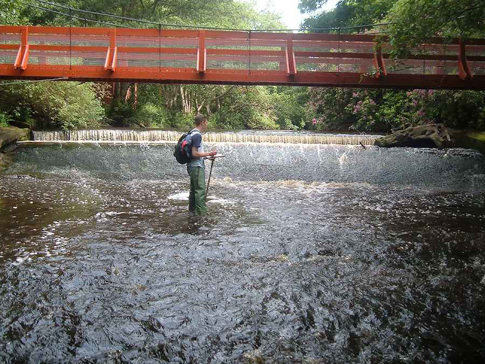
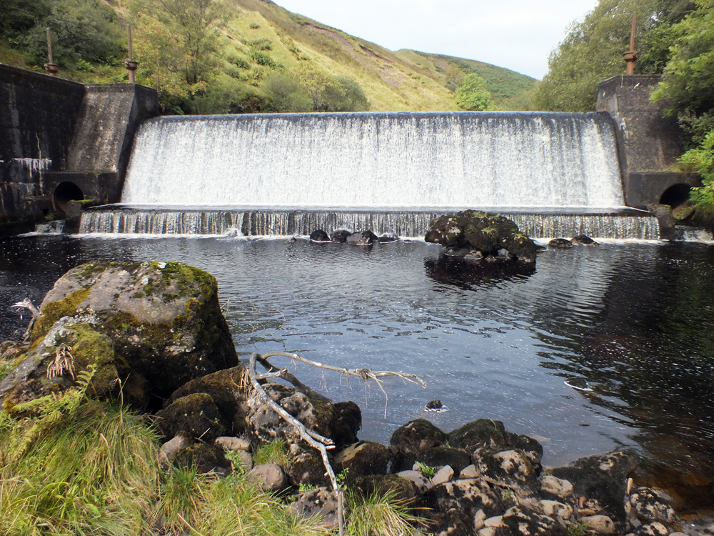
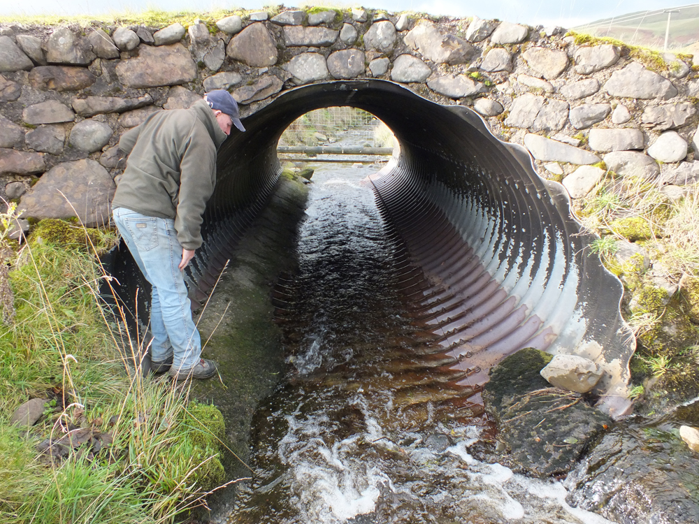
Some of the most obvious issues are the many weirs that present barriers to fish migration. These were used to harness the power of our rivers and burns but most are now redundant but all have an impact to some extent on fish migration.
Much effort has focused on improving water quality in recent years through SEPA’s River Basin Management Planning Process. This has been supported by District Salmon Fishery Boards and the Trust.
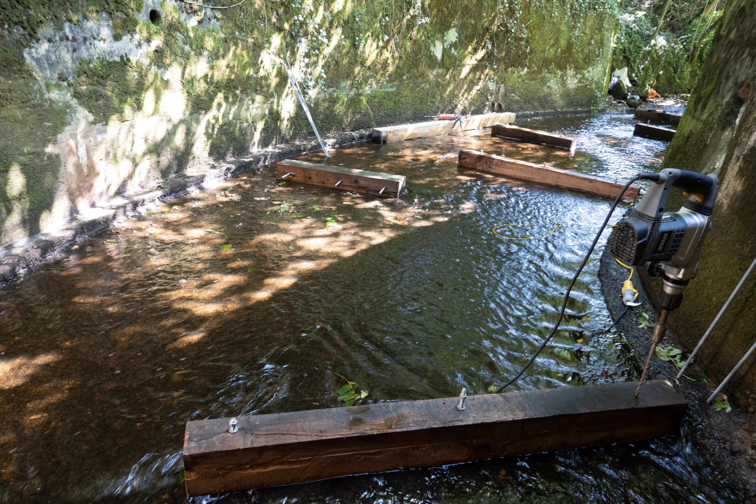
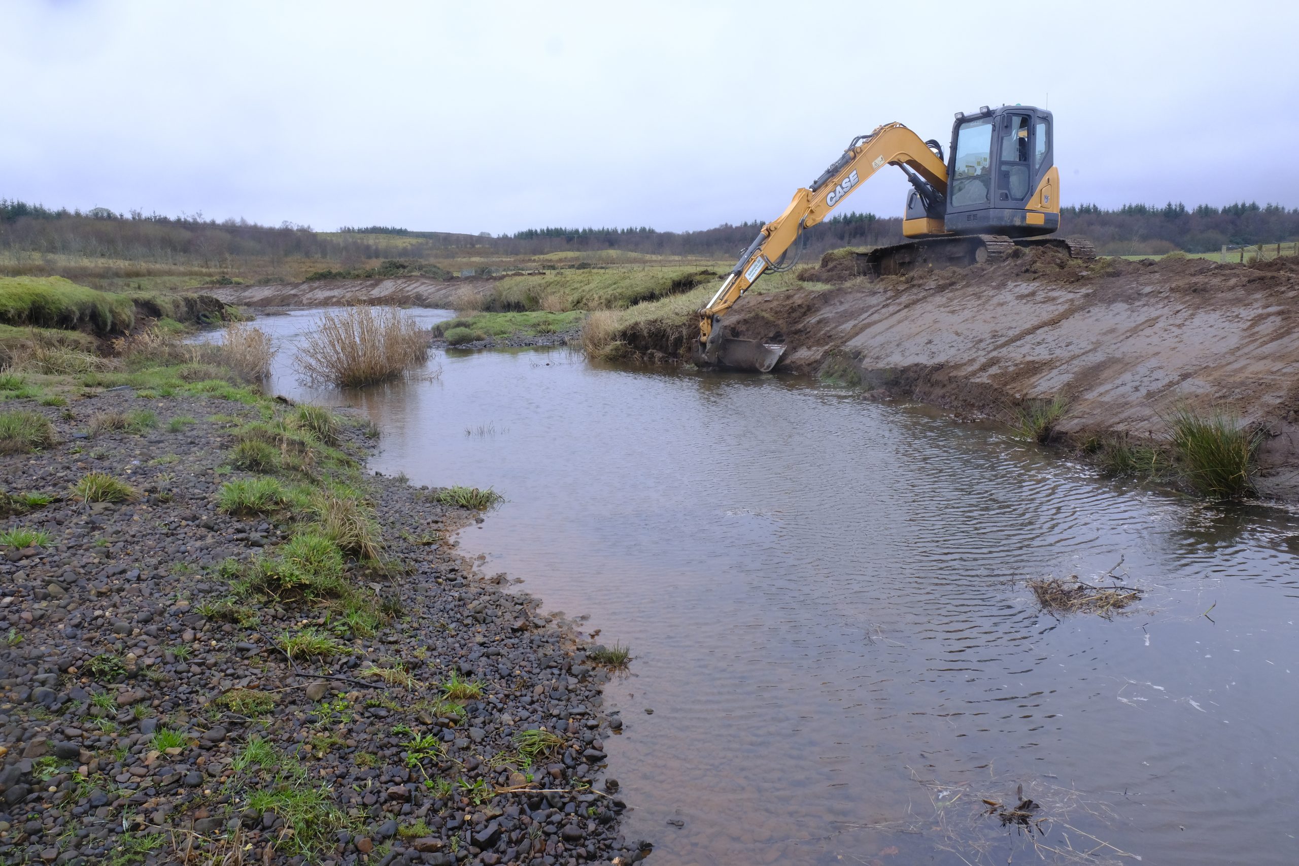
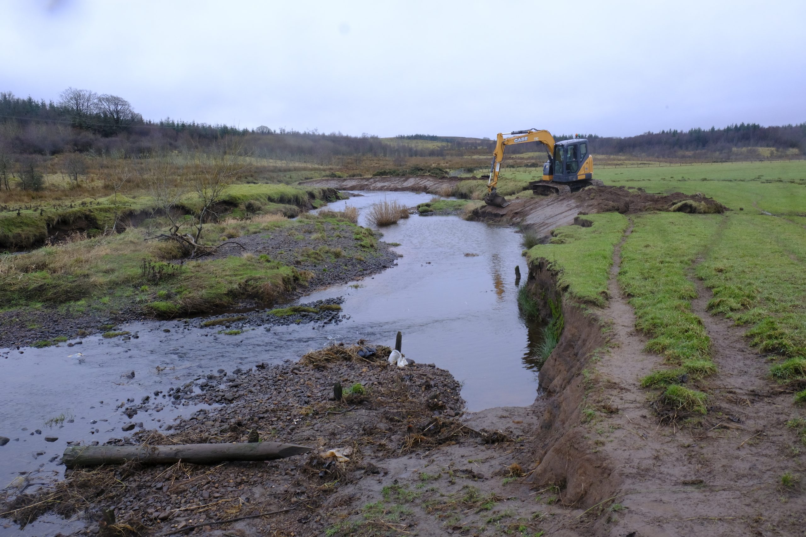
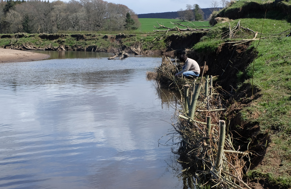
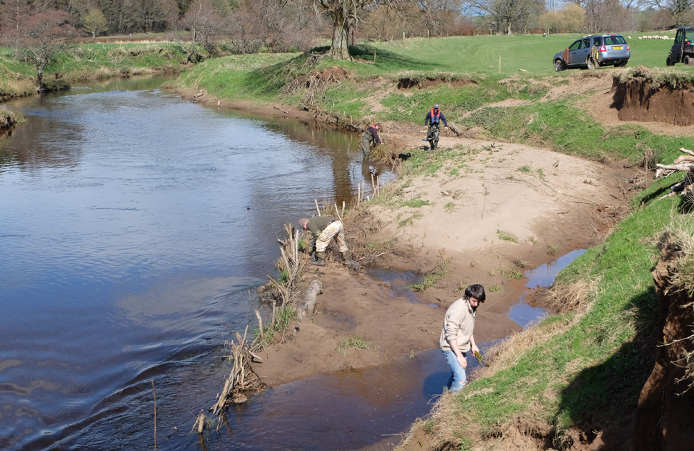
Land use influences habitat quality and the Trust supports initatives to restore and improve habitat wherever possible.
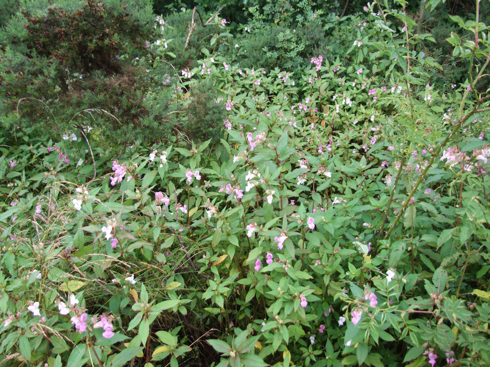
The Gallery to the right highlights the many problems faced within our catchments.
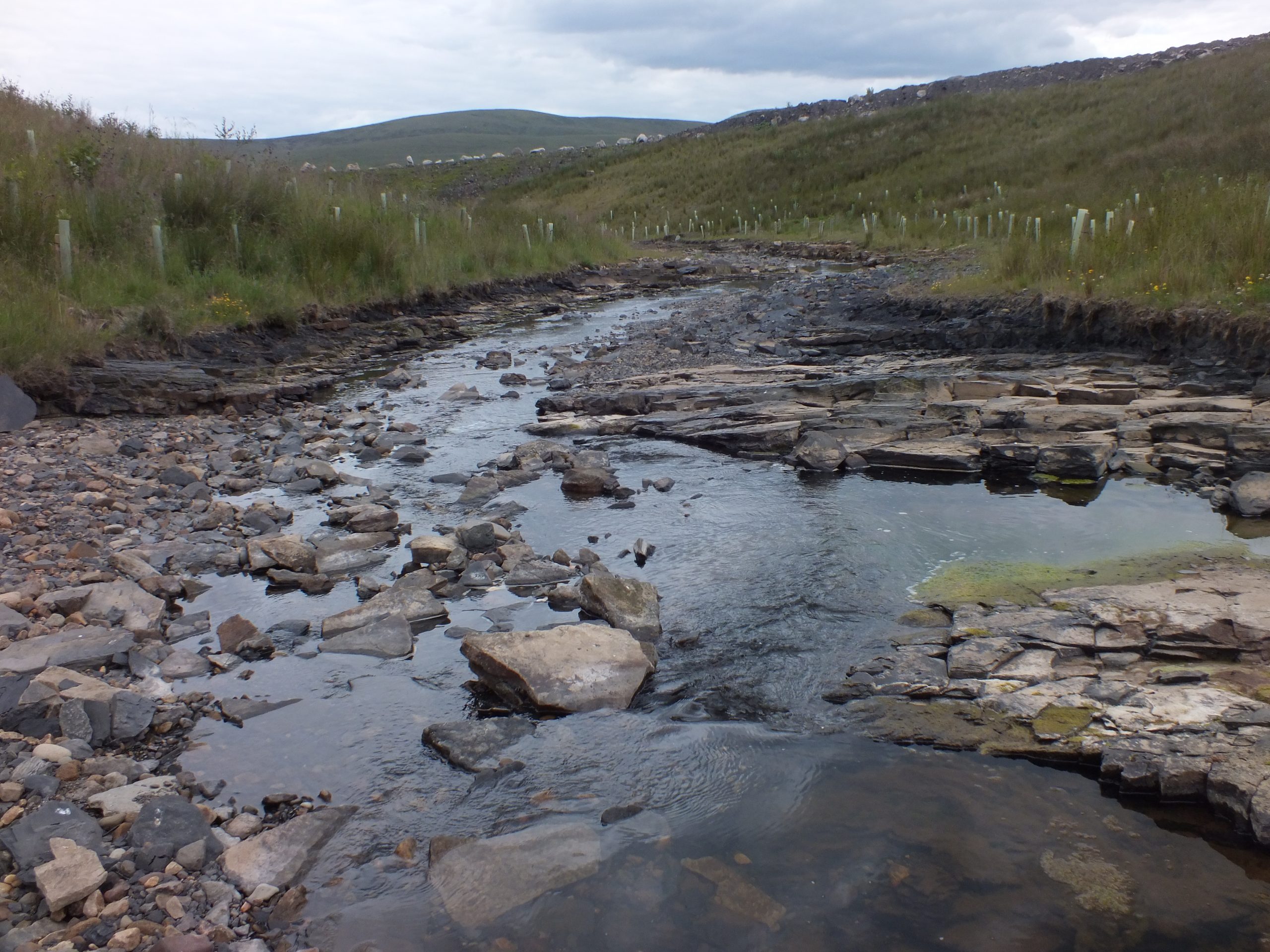


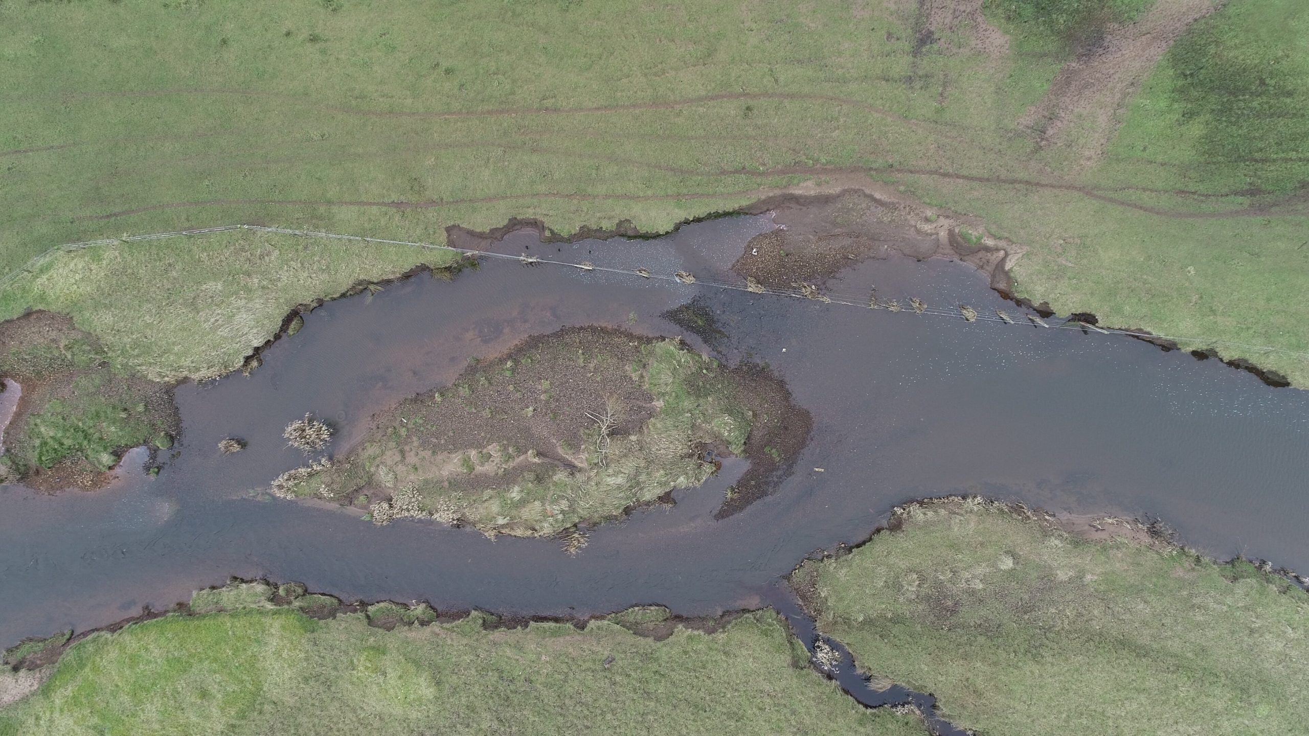
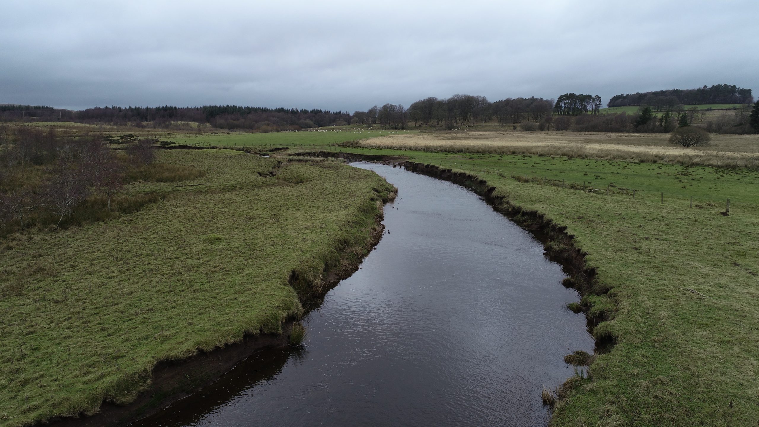
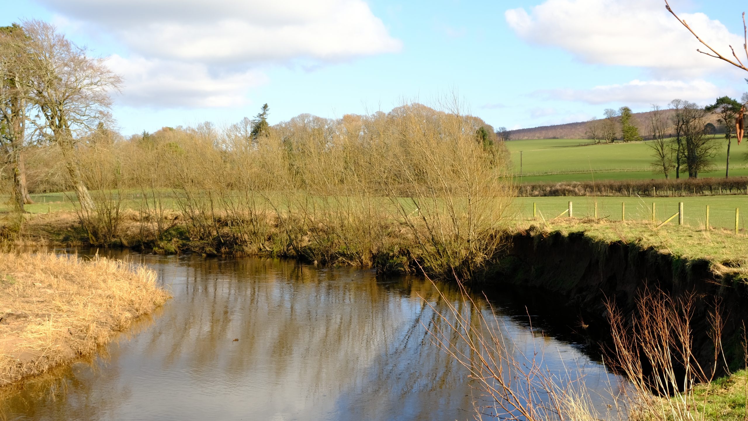
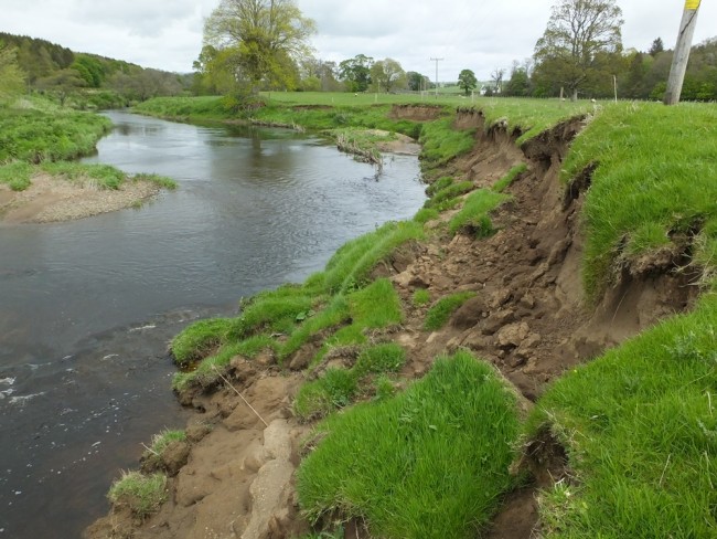
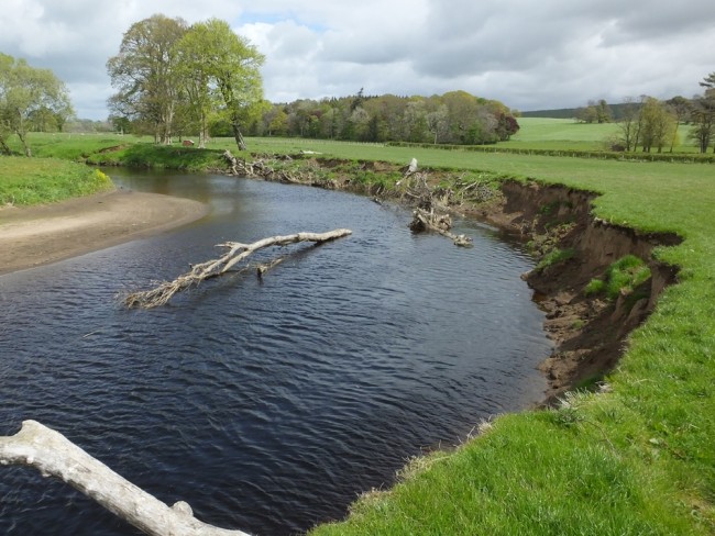
One of the most significant causes of habitat degradation in Ayrshire is overgrazing along the edge of watercourses. Excessive grazing pressure can result in loss of vegetation cover and leads to silt and bacterial inputs. Low level inputs such as these are termed diffuse pollution and cumulatively they can have a major impact on river processes.
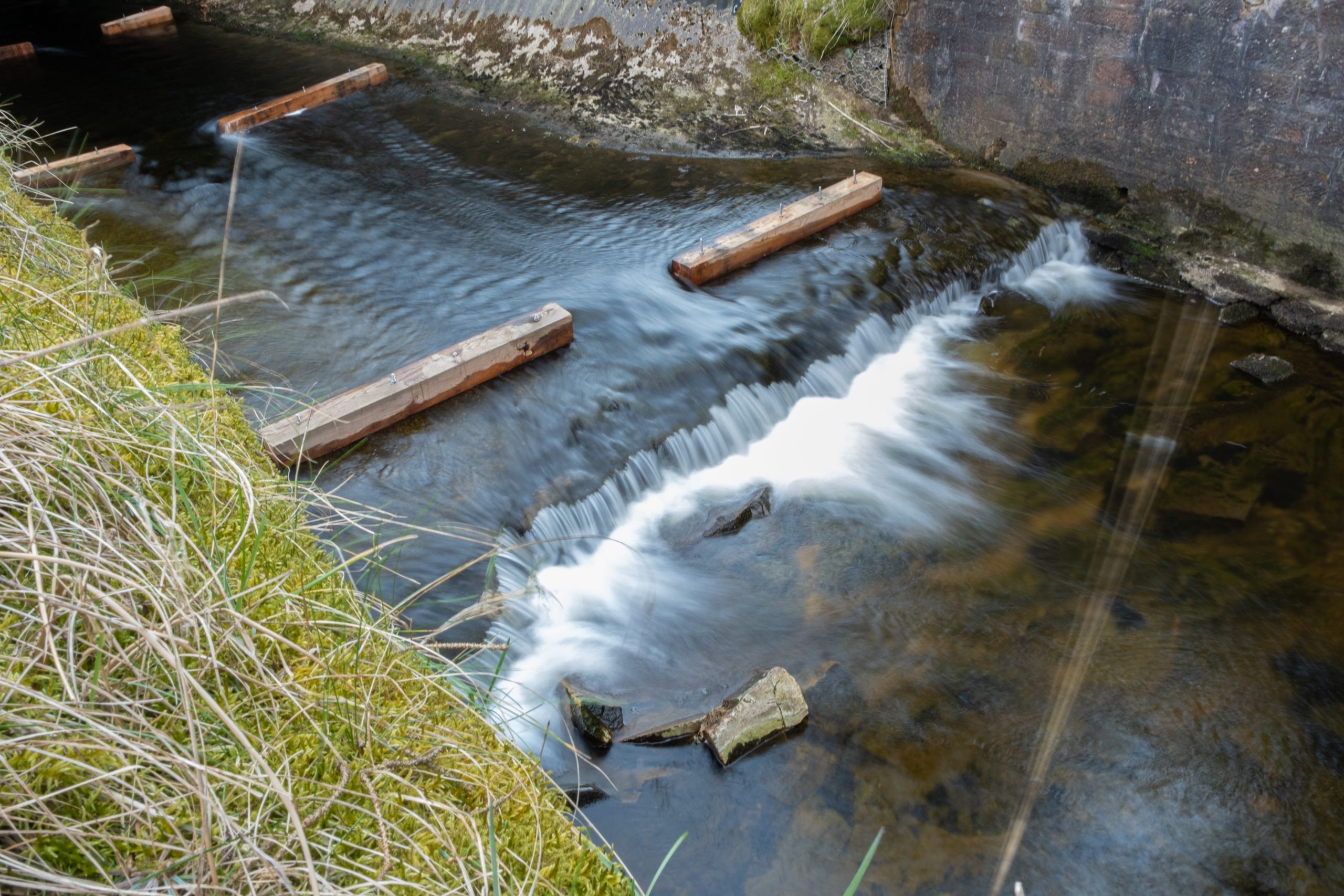
The Trust has implemented a number of habitat restoration projects designed to reduce the impact of diffuse pollution. Pre and post monitoring has shown rapid improvements in water quality and habitat.
High quality invertebrate and fish populations can be achieved even in the most heavily impacted areas with care and consideration for the aquatic environment.
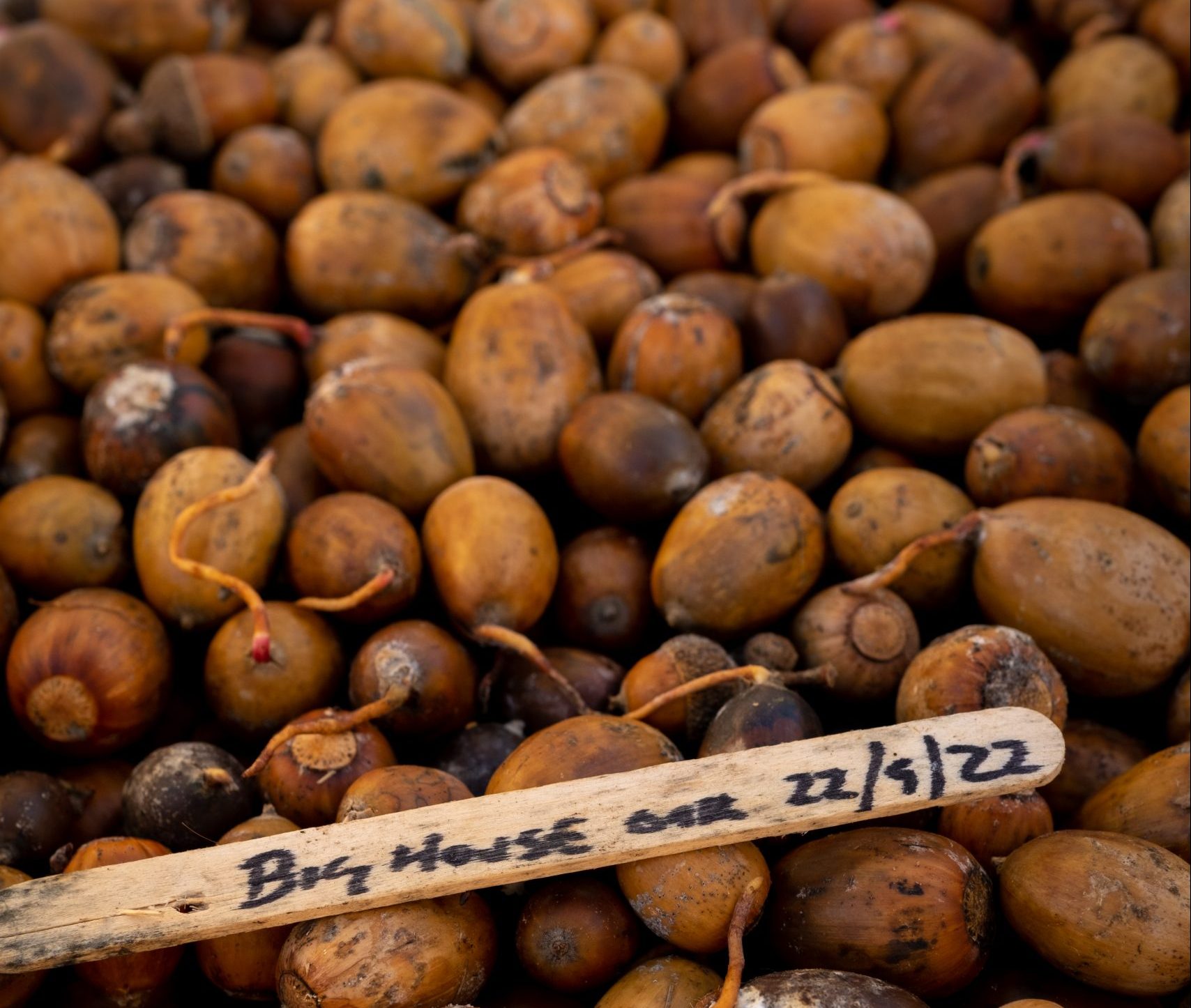
Biodiversity
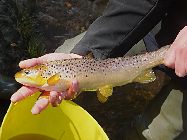


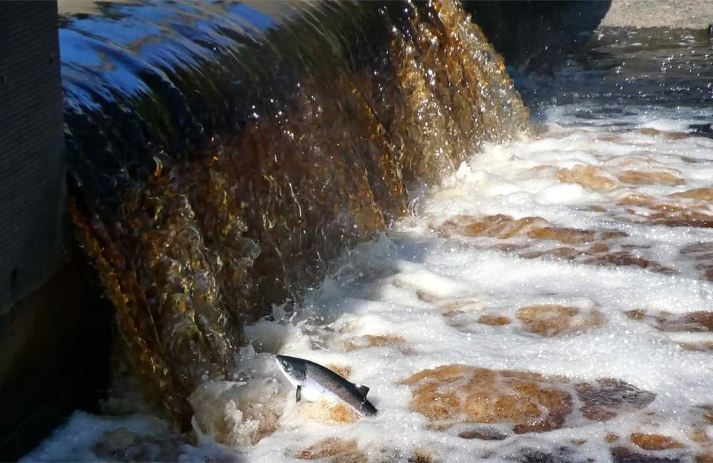
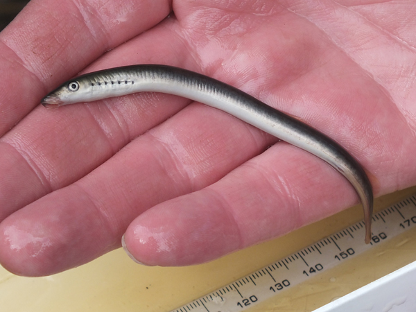


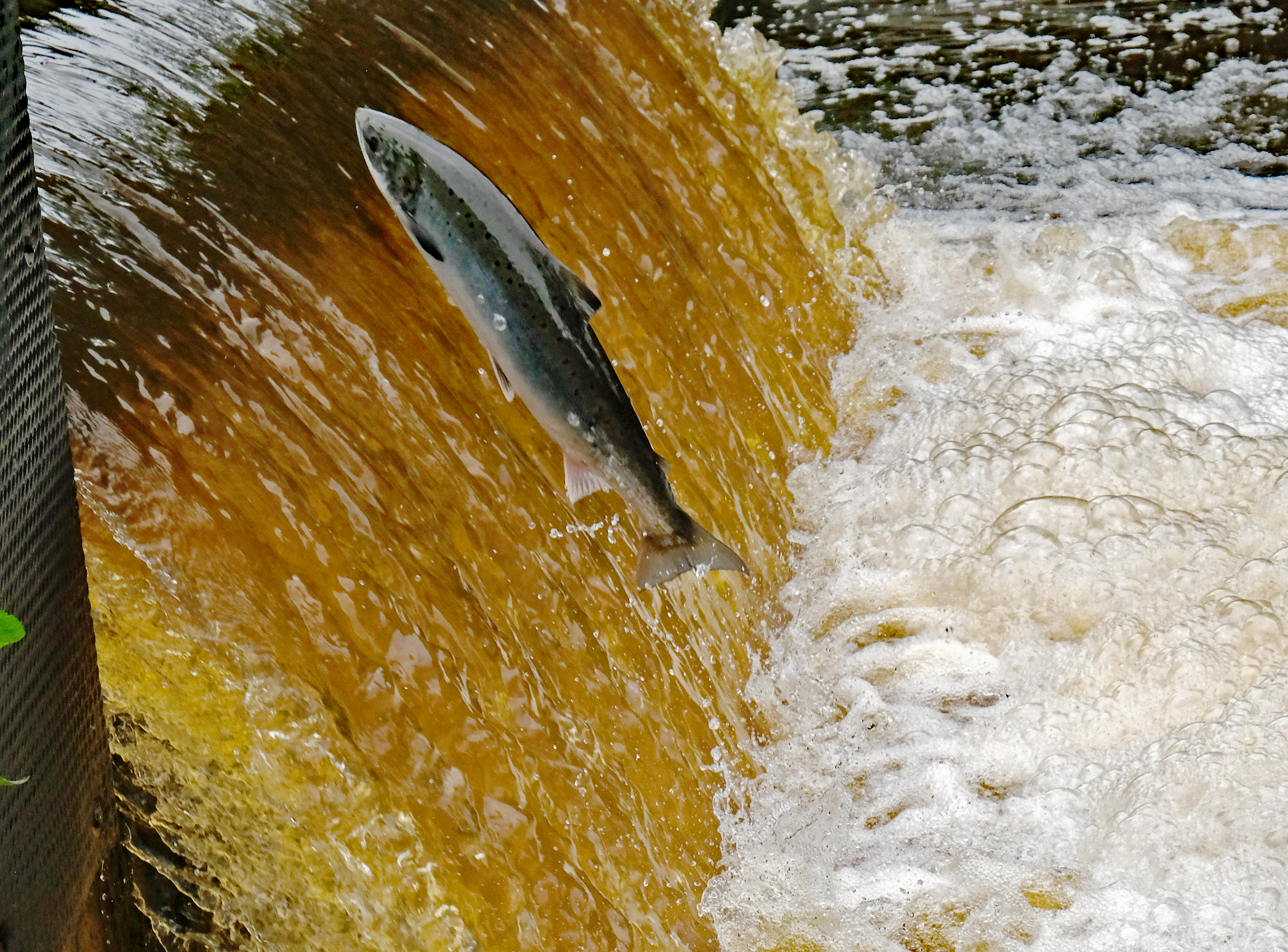
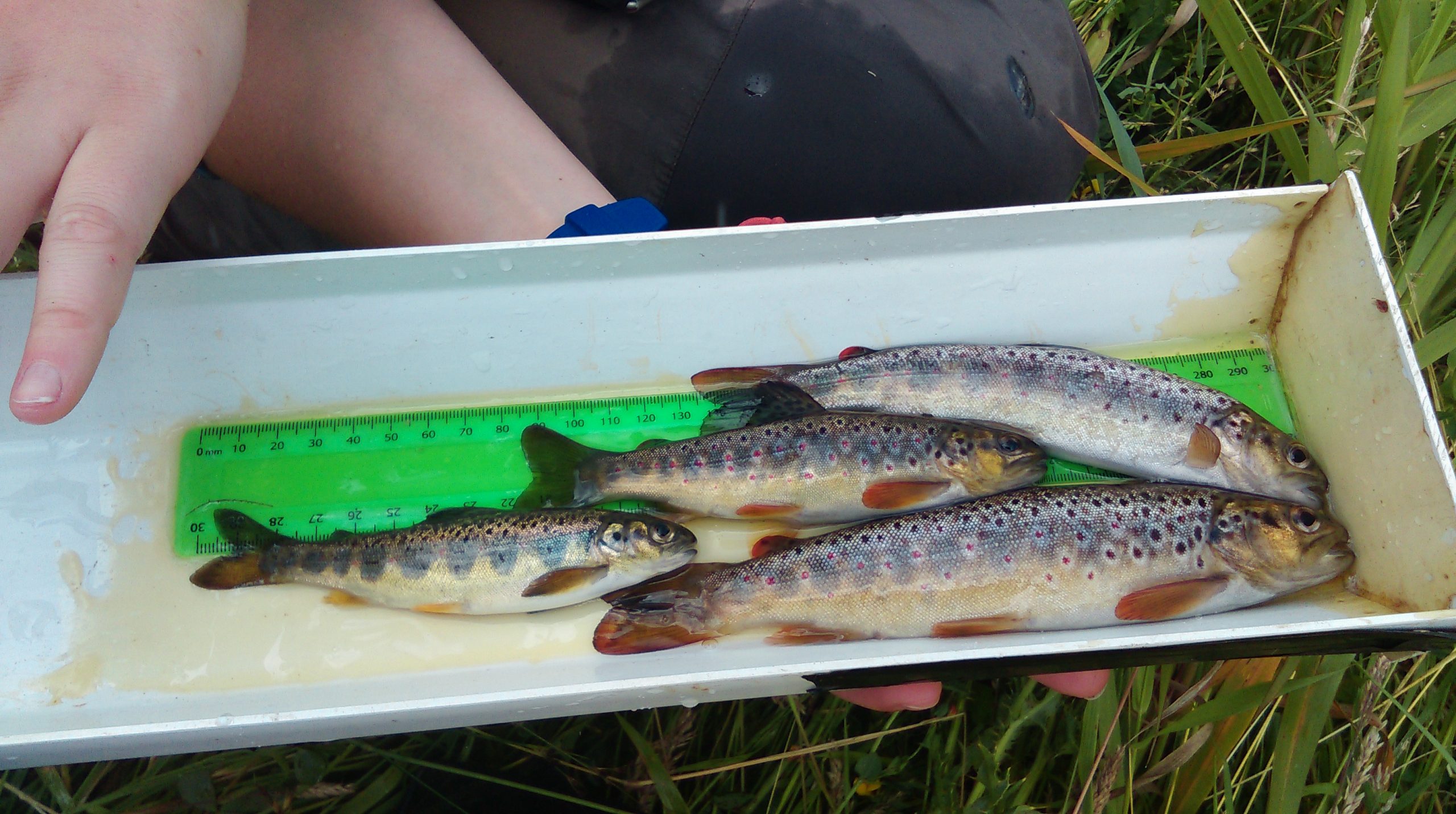

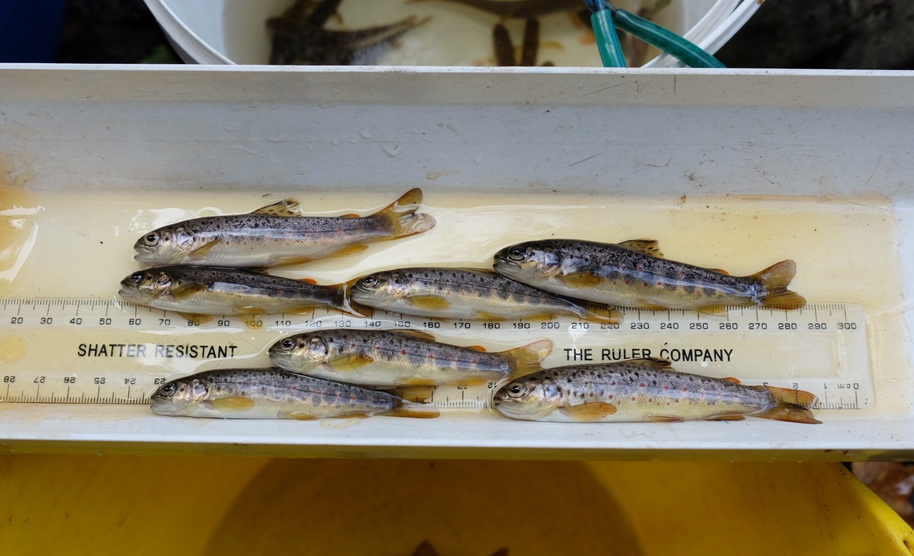
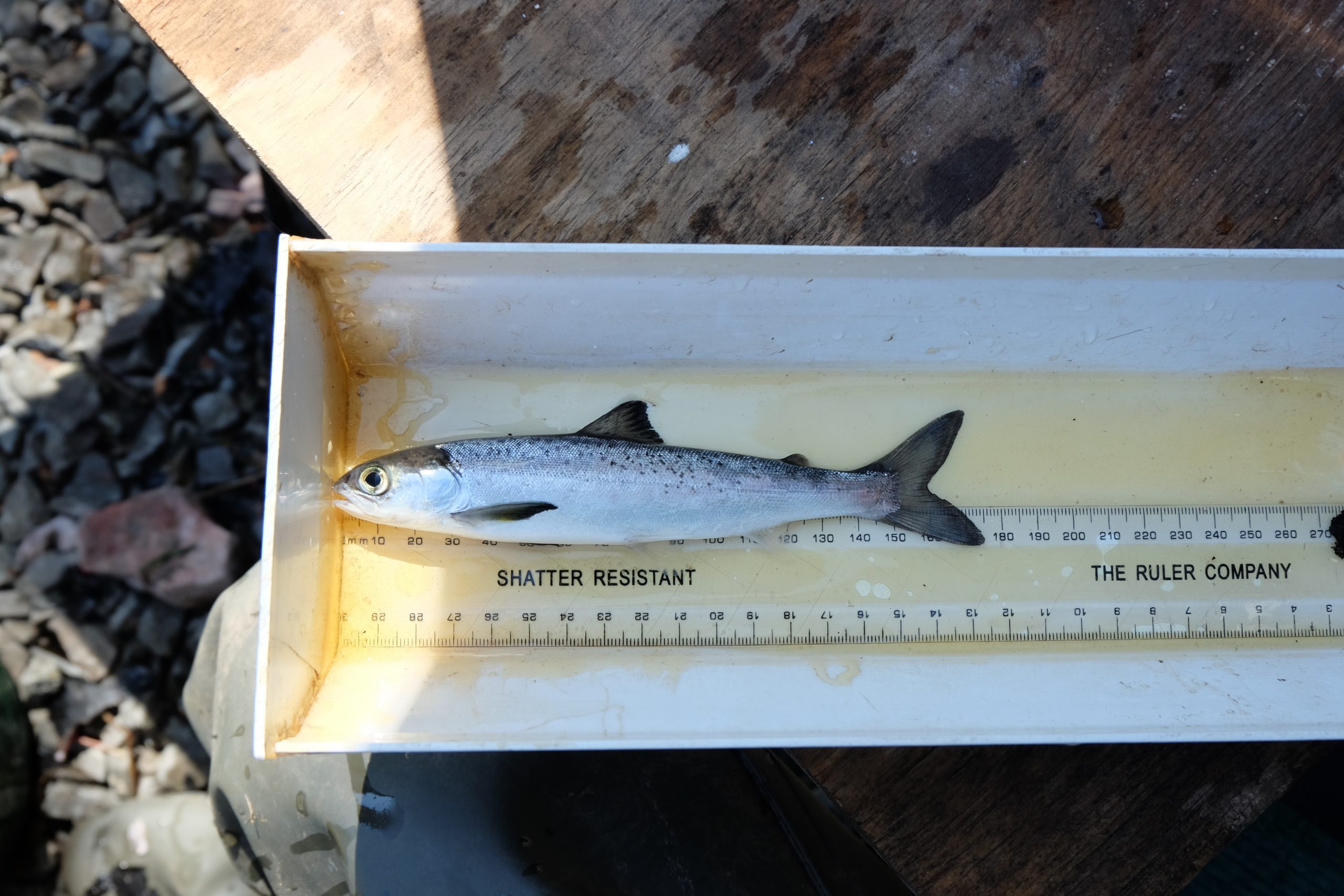
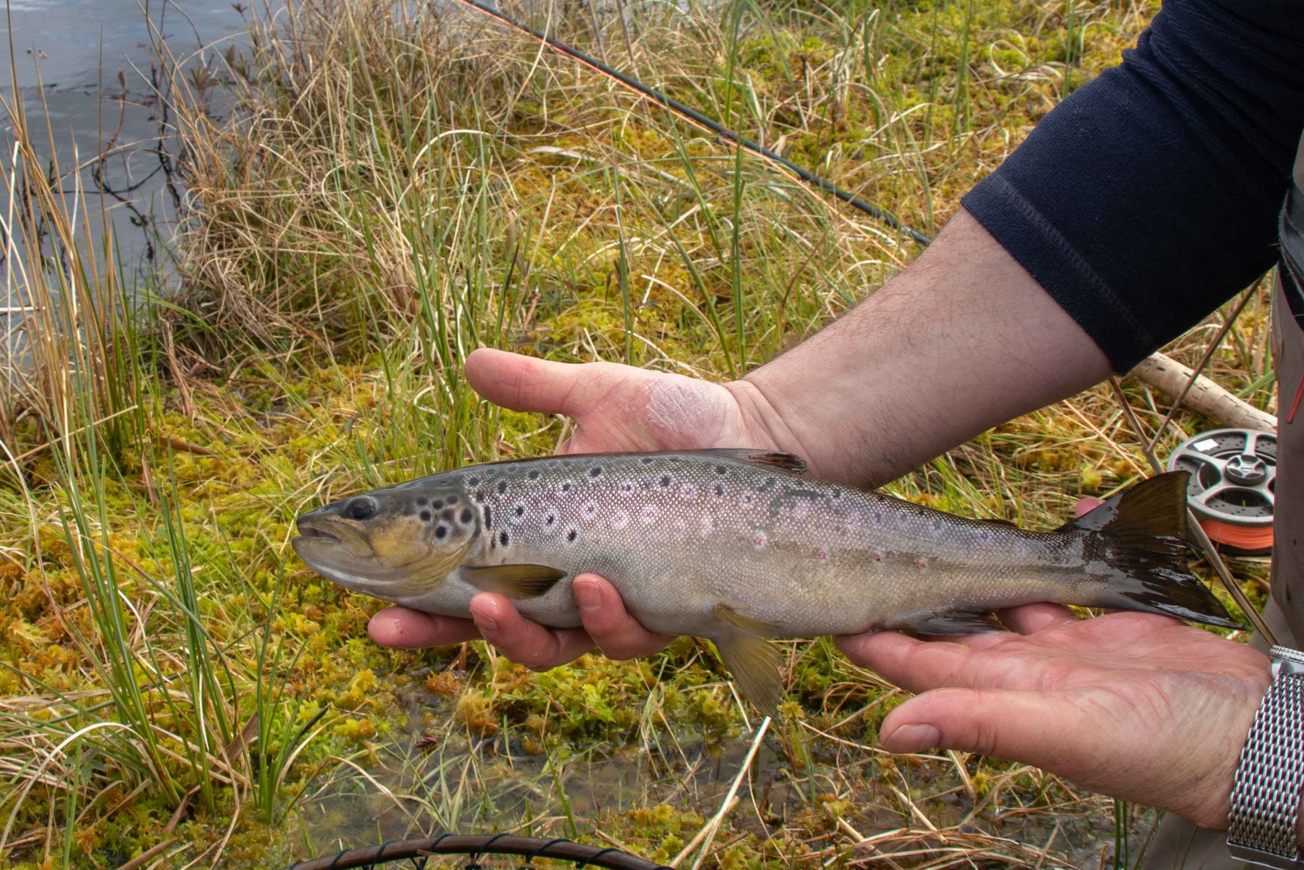

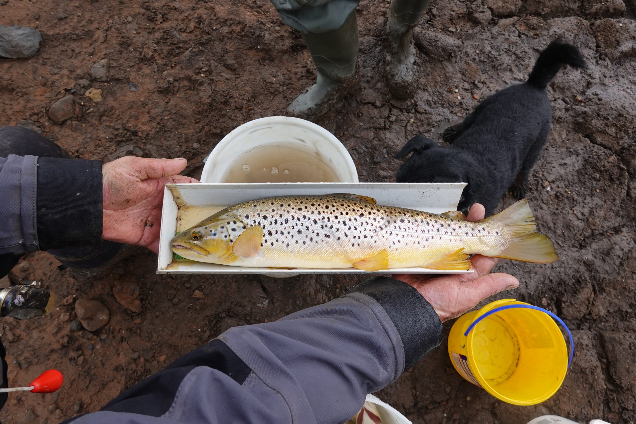
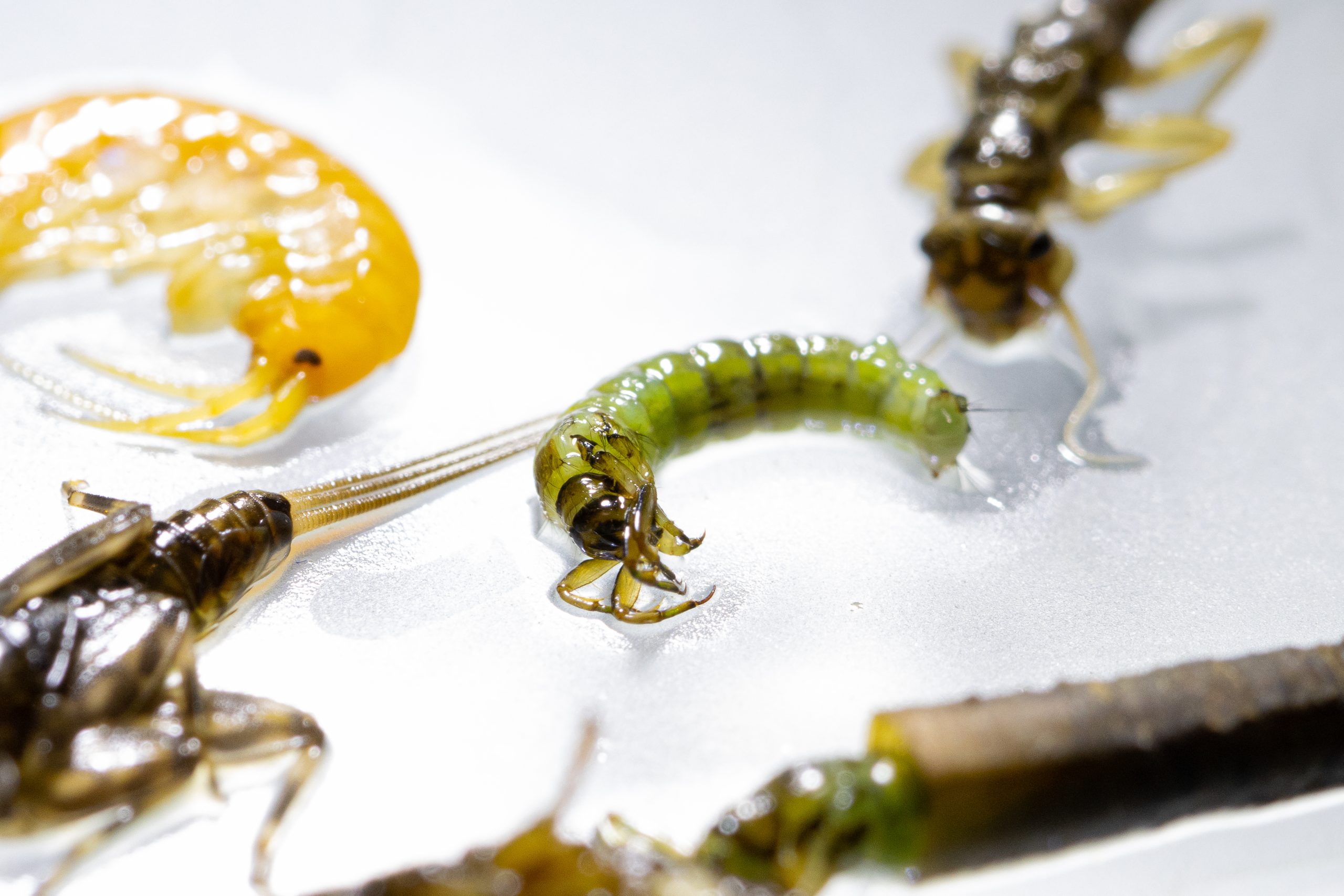
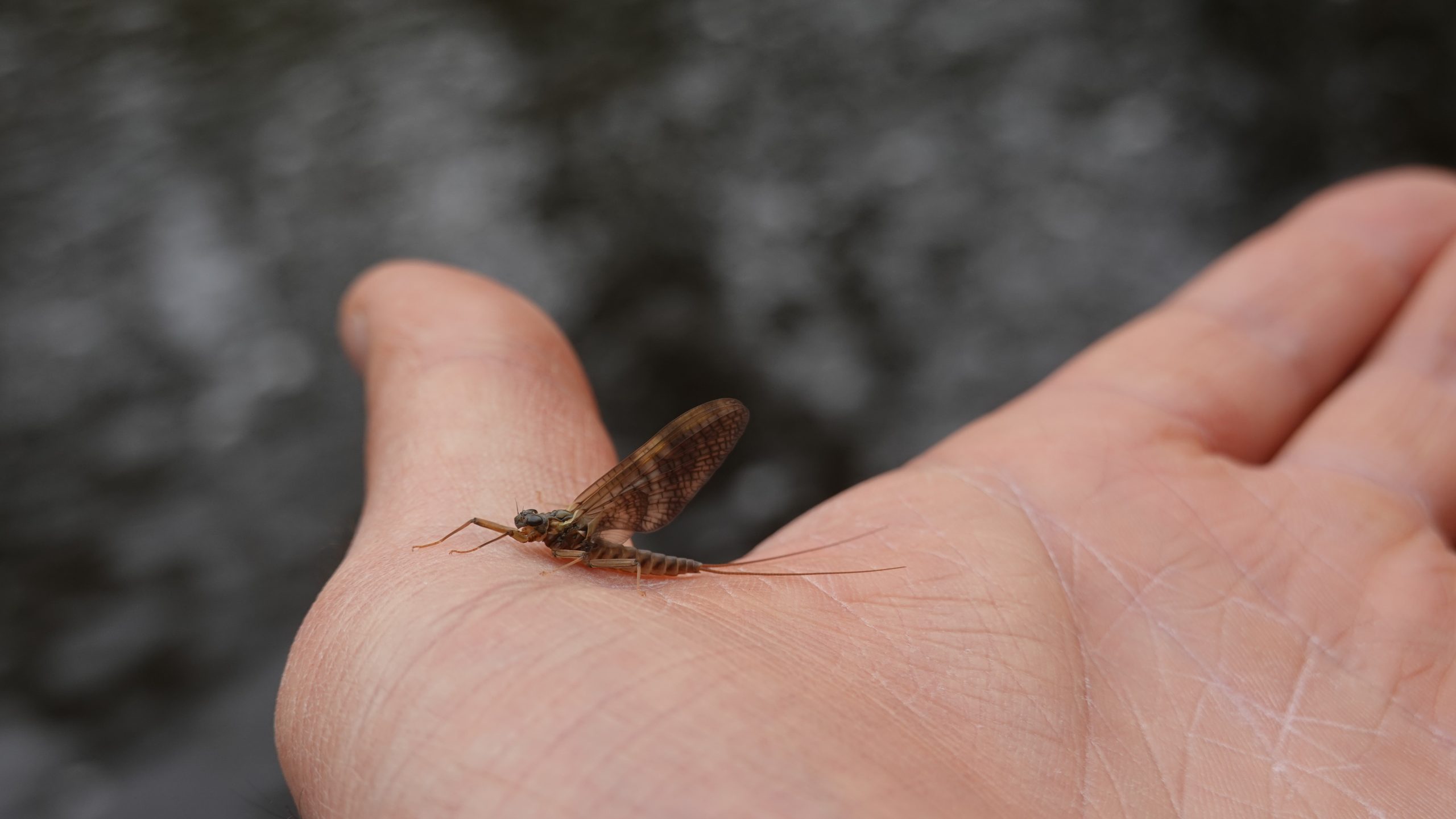

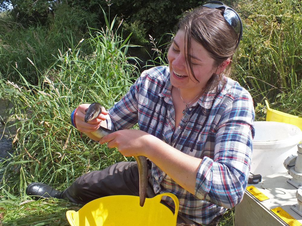
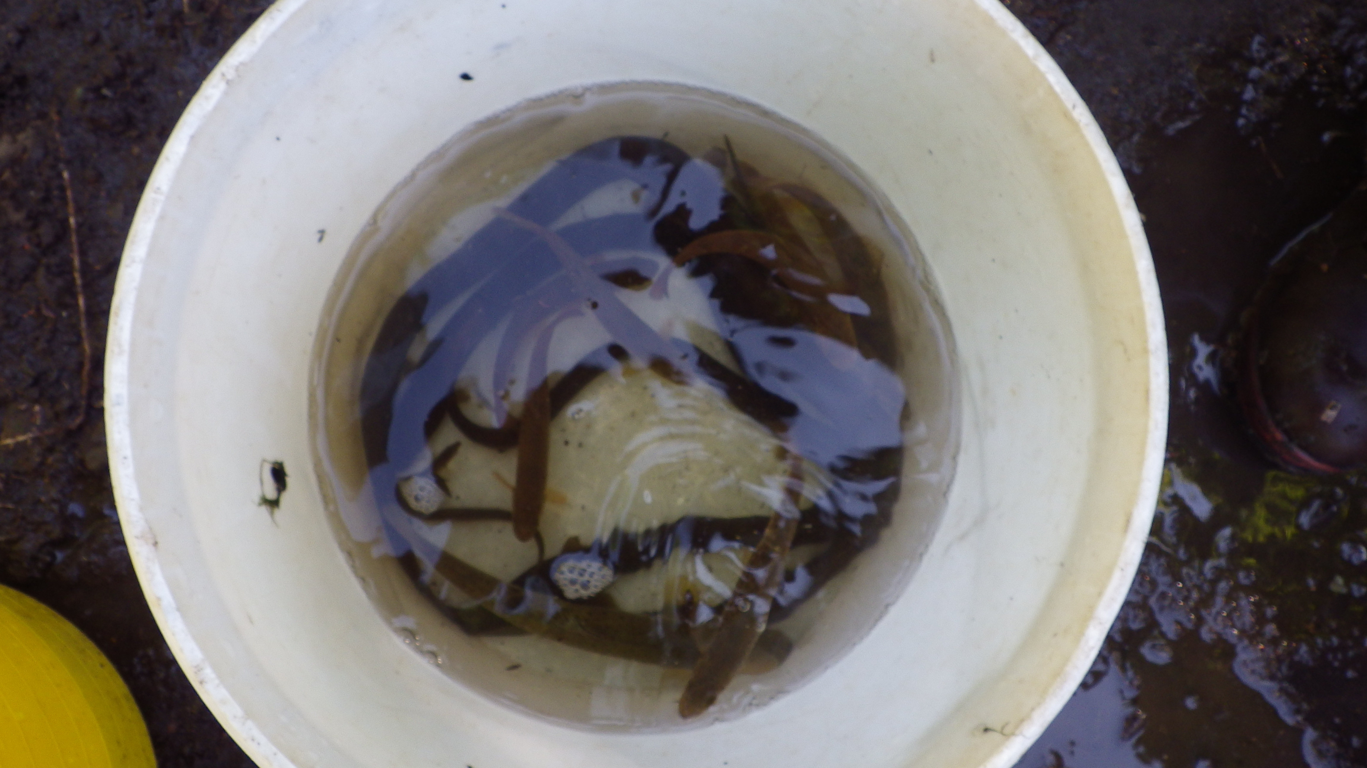

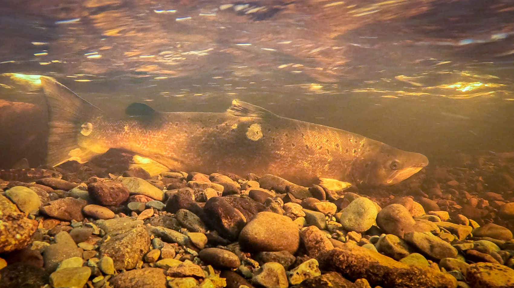
Our core activities include electrofishing to sample fish populations. During these surveys we gain more knowledge of each catchment’s biodiversity including but not limited to grayling, trout, salmon, european eels and lampreys.
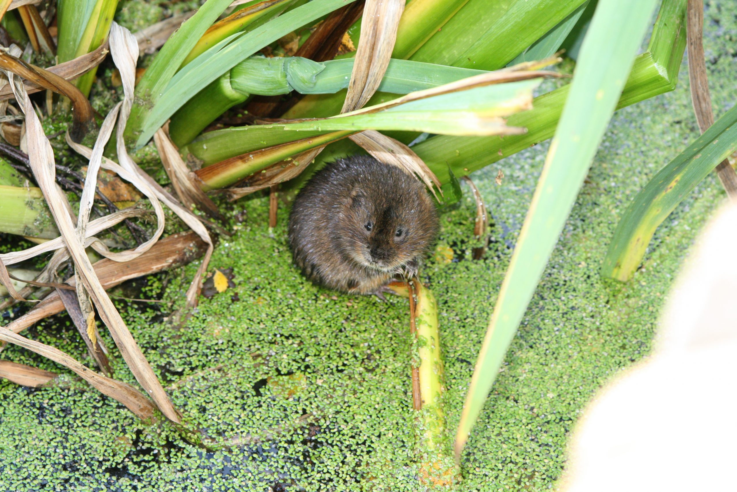
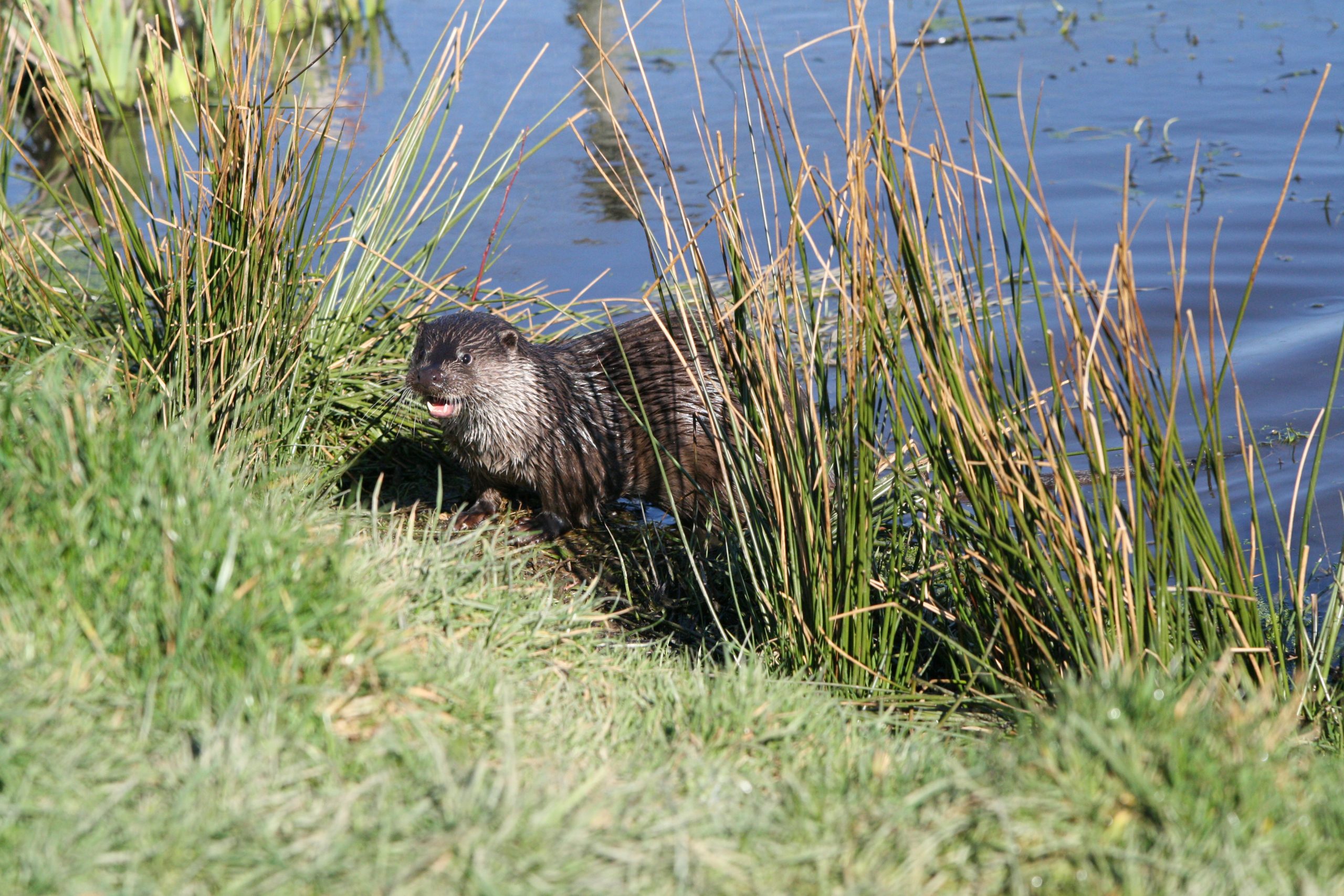
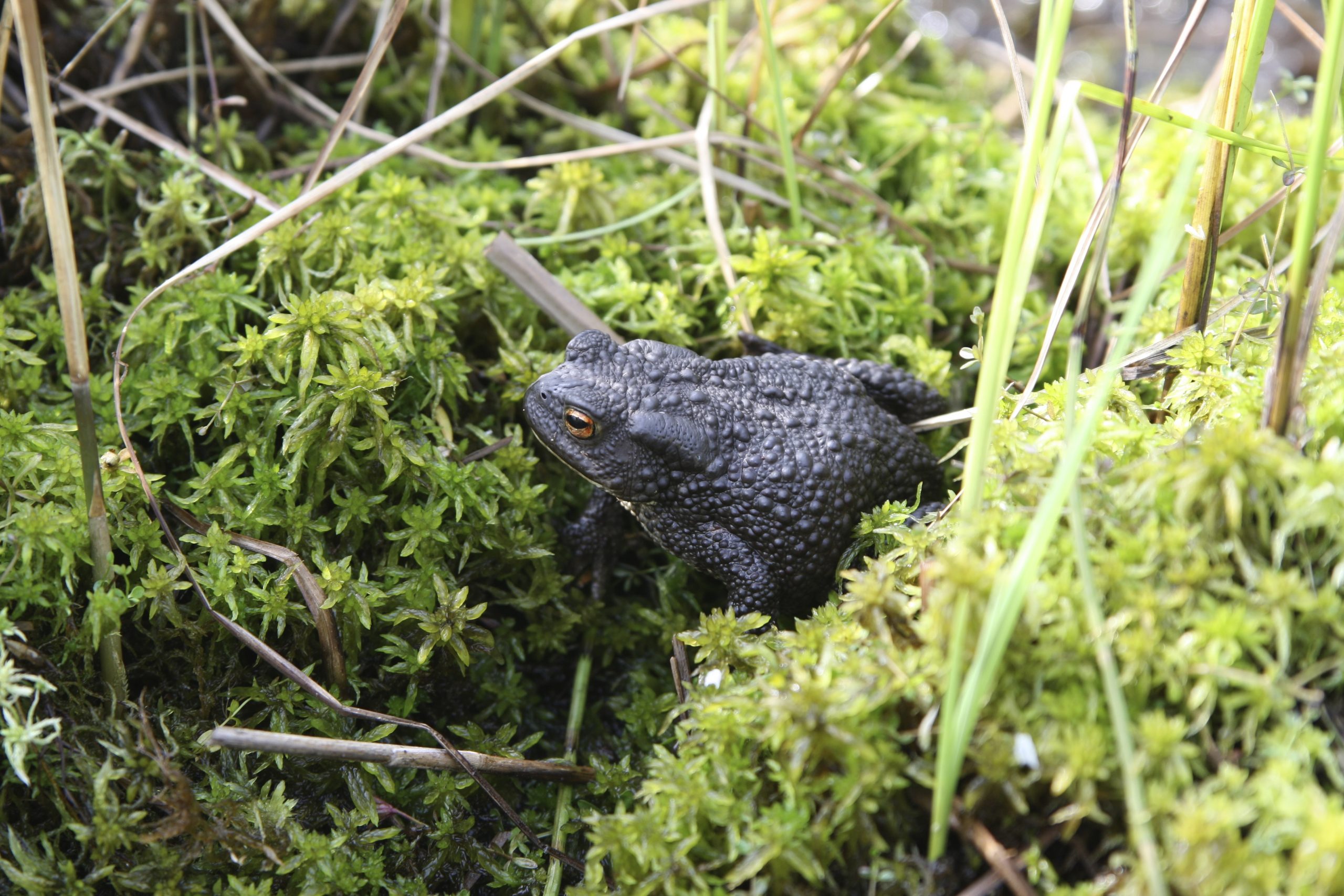
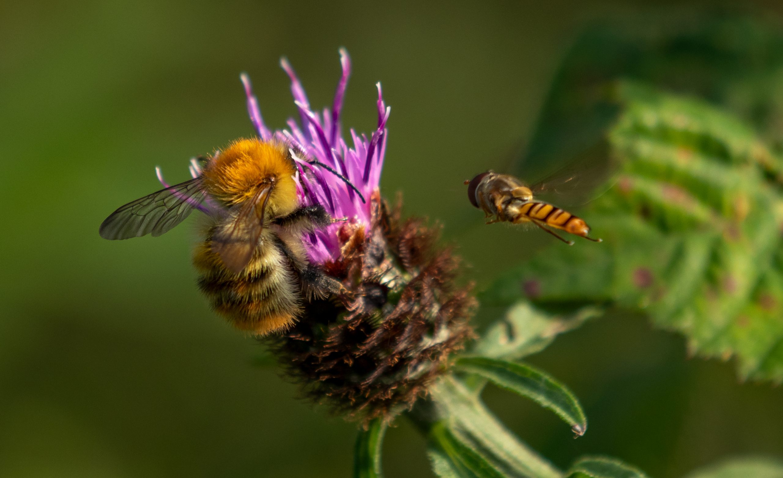
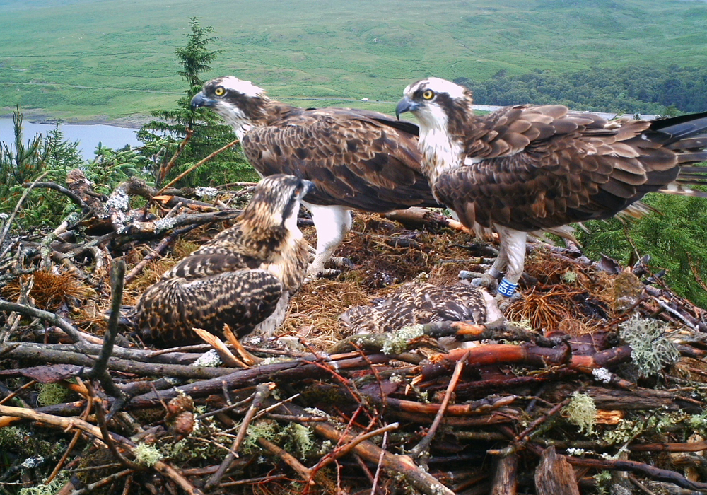
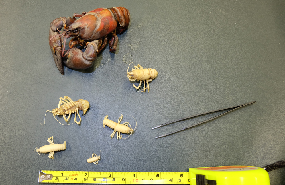
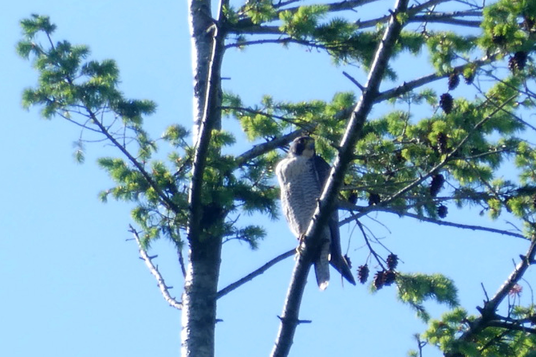
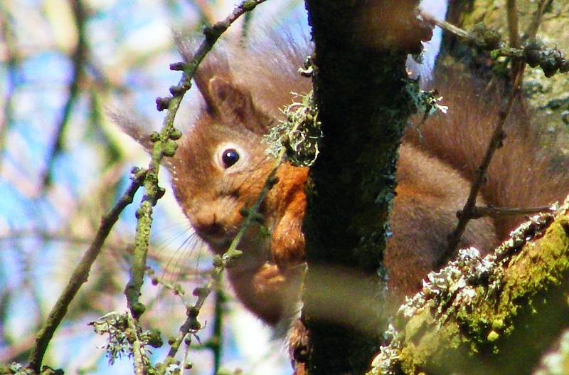
The Trust is also monitors biodiversity, looking at other habitats and species including rare or protected species such as freshwater pearl mussels, otters and water voles.
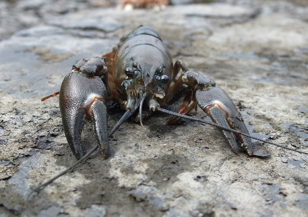
We also identify threats to native biodversity such as introduced, non-native species and habitat modifications.
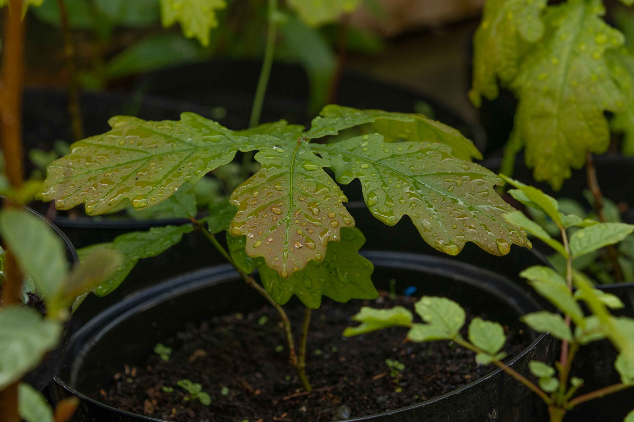
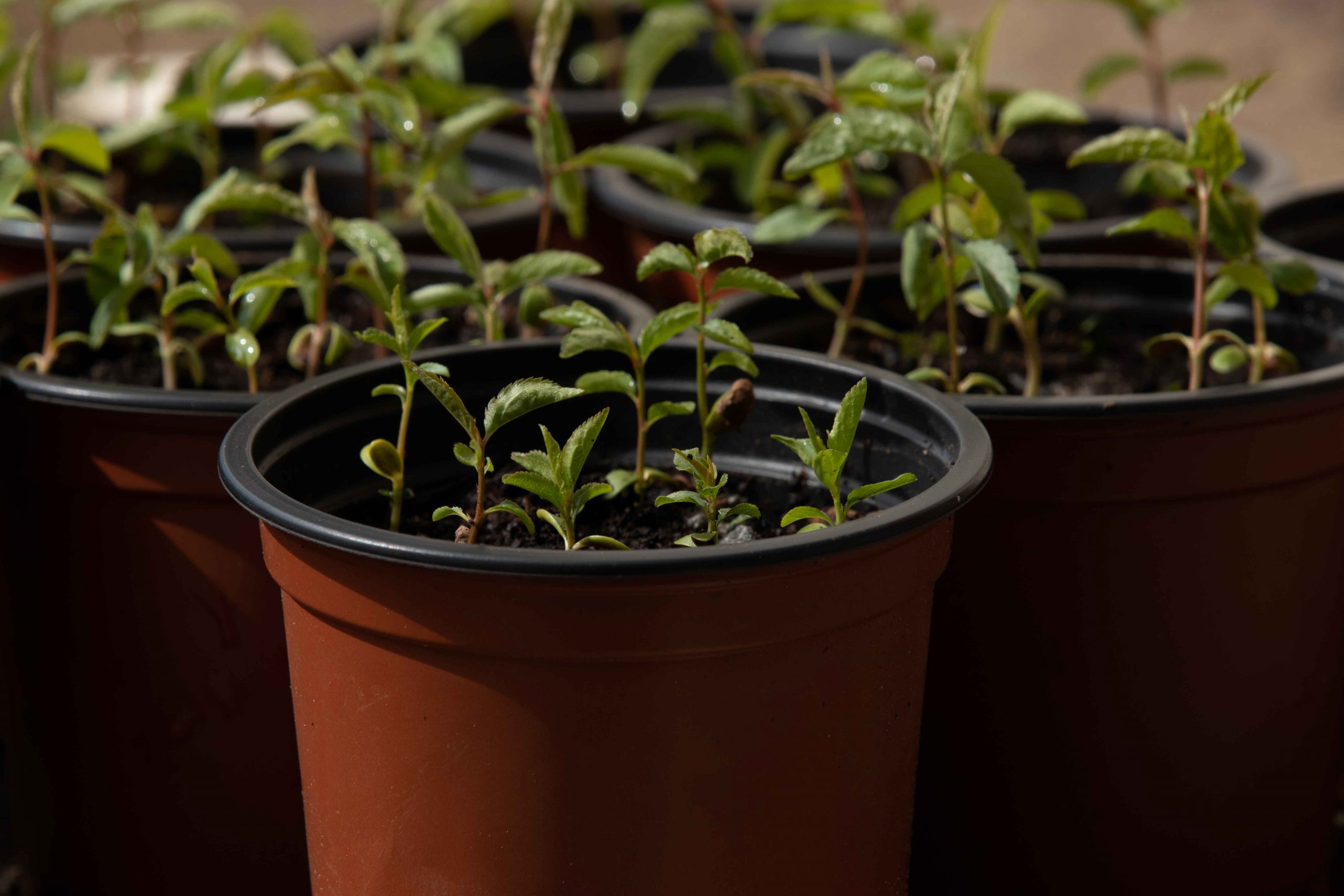
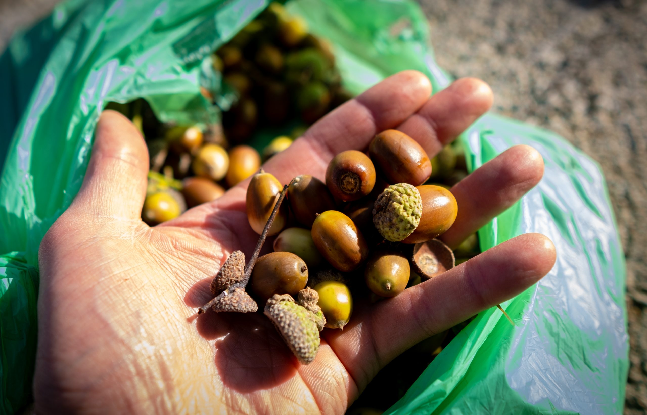
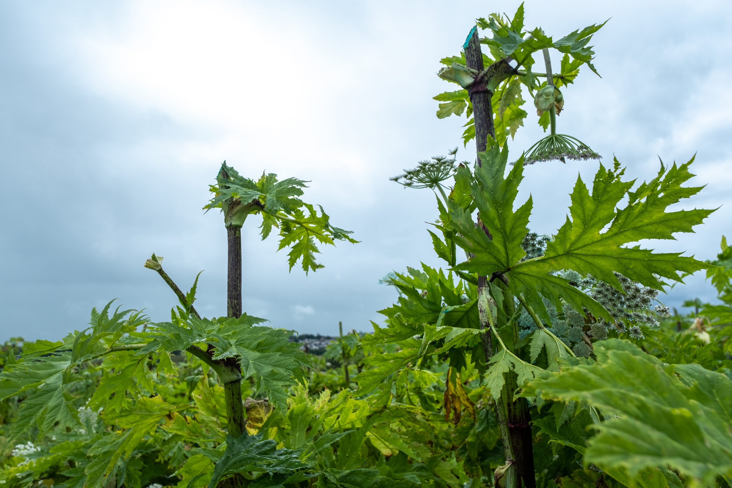
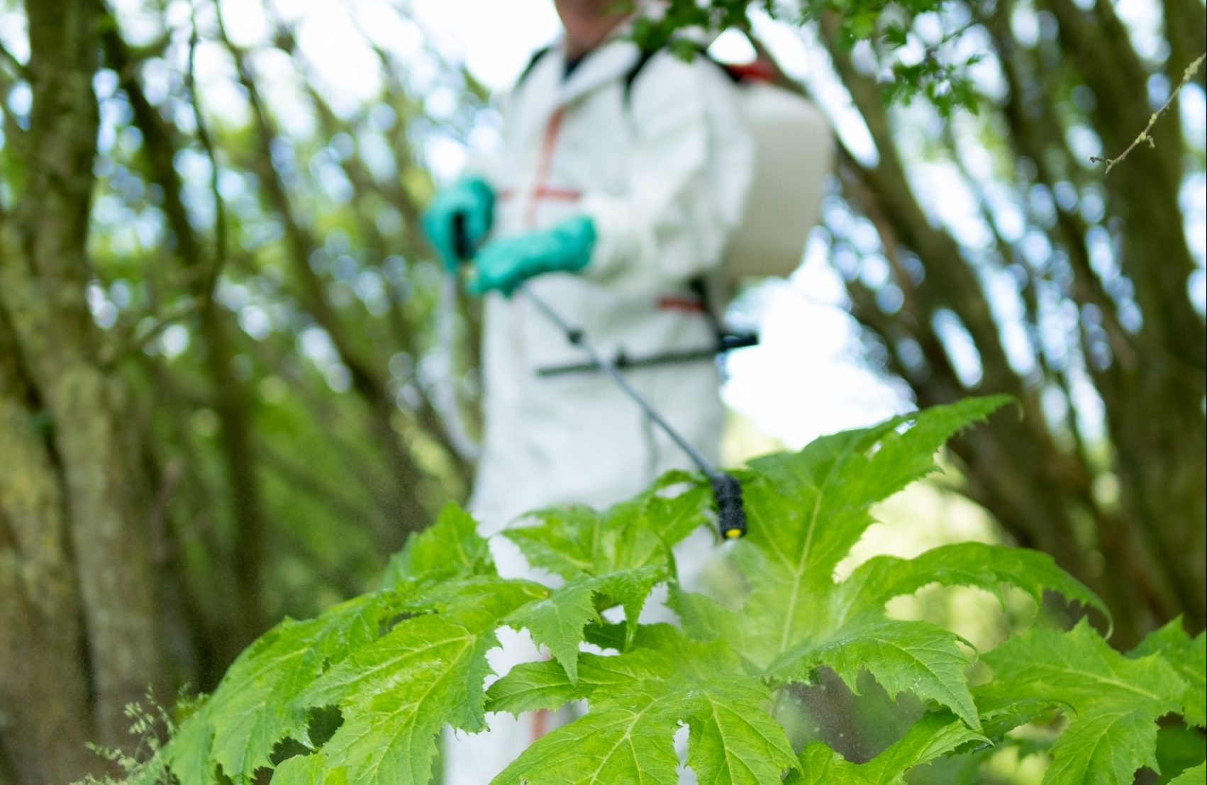
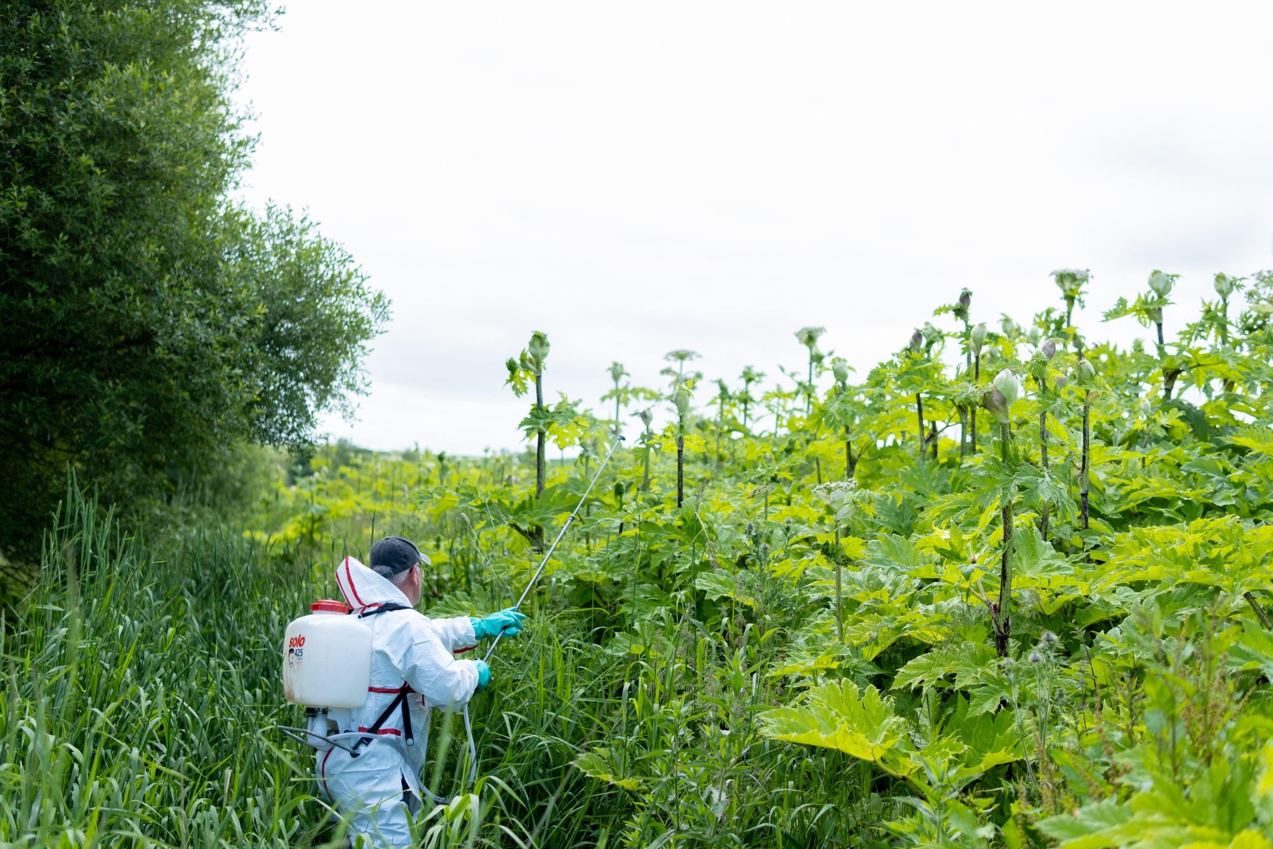
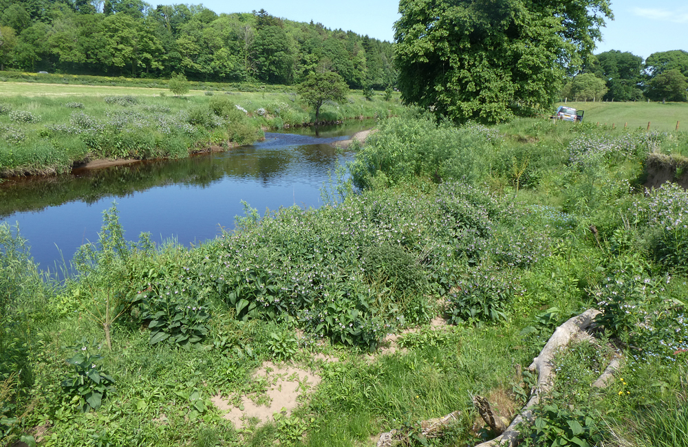
Restoring habitat and biodiversity requires many different approaches. The Trust has long been involved in non-native species control and has the second longest established giant hogweed control strategy in Scotland, on the River Ayr. The Trust has mapped invasive weeds species growing within the river catchments across Ayrshire and performs strategic control wherever funding allows.
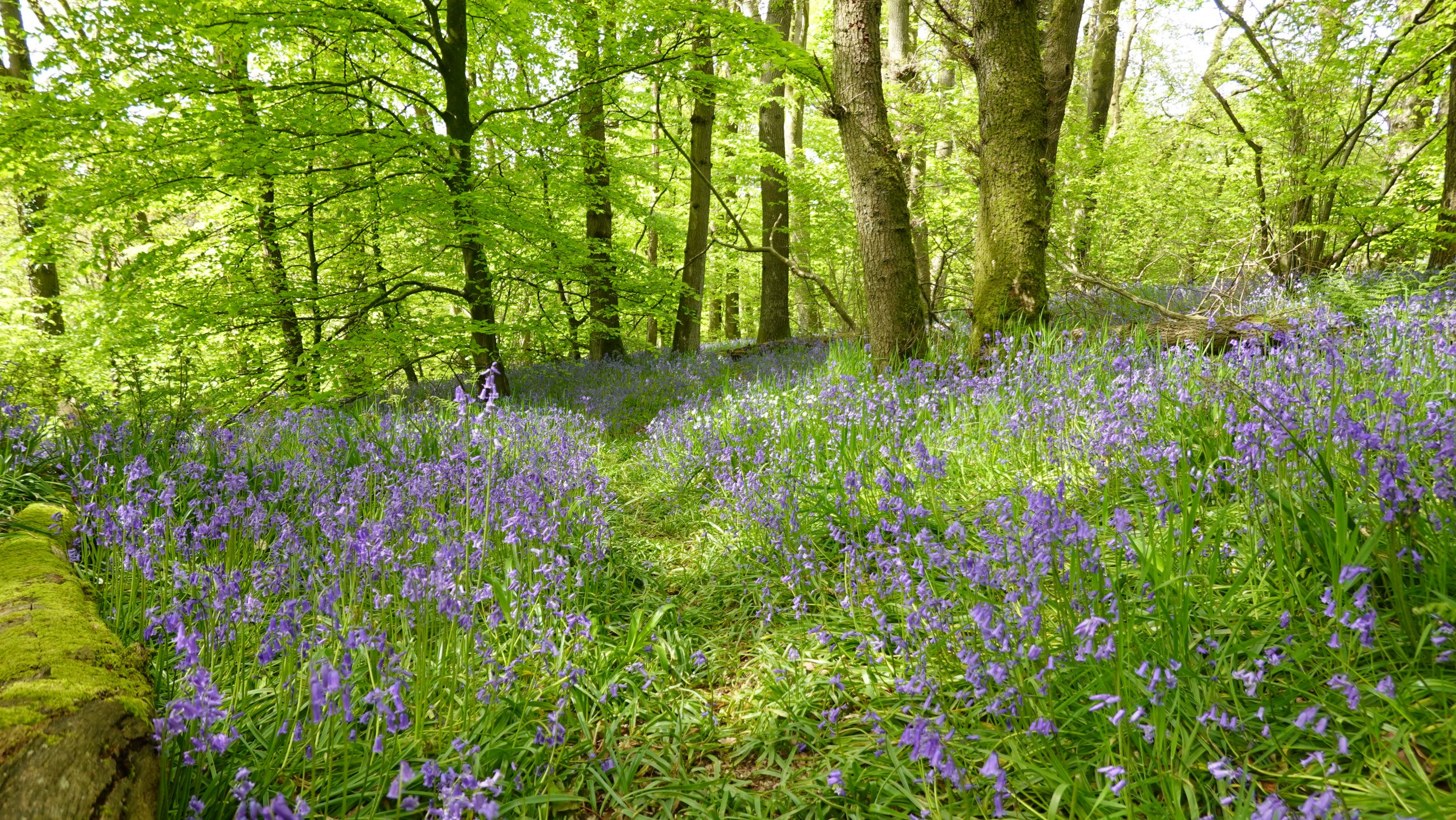
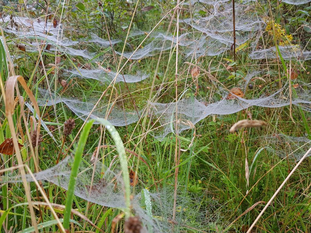
Ensuring our rivers have a wide range of native plant species is essential and delivers a healthy ecosystem. Defending against climate change is also a priority as the challenges ahead will be great.
To support these aims the Trust adopts many sustainable and nature based approaches including tree planting and riverbank restoration.