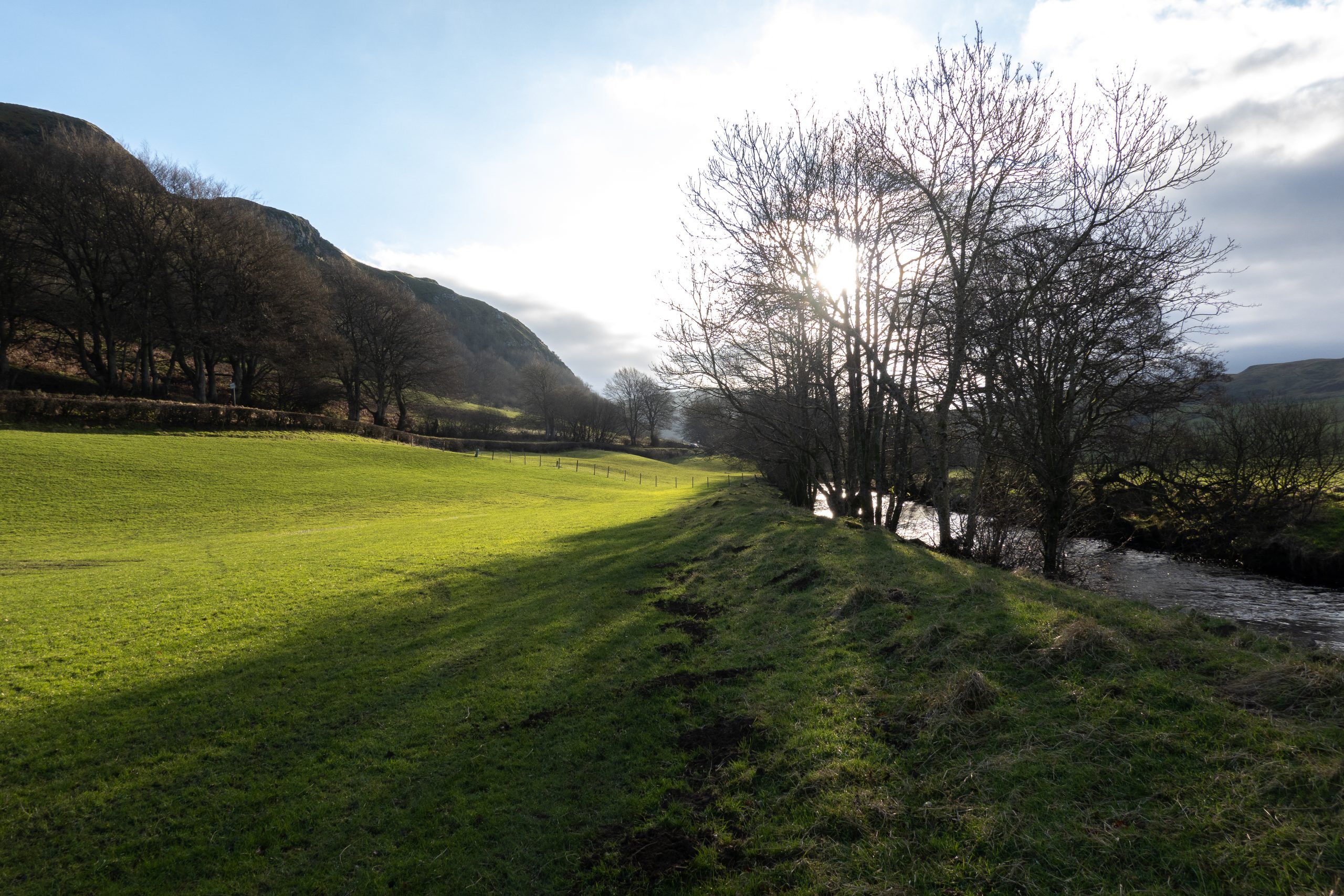
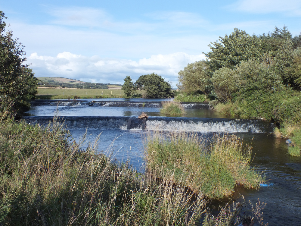
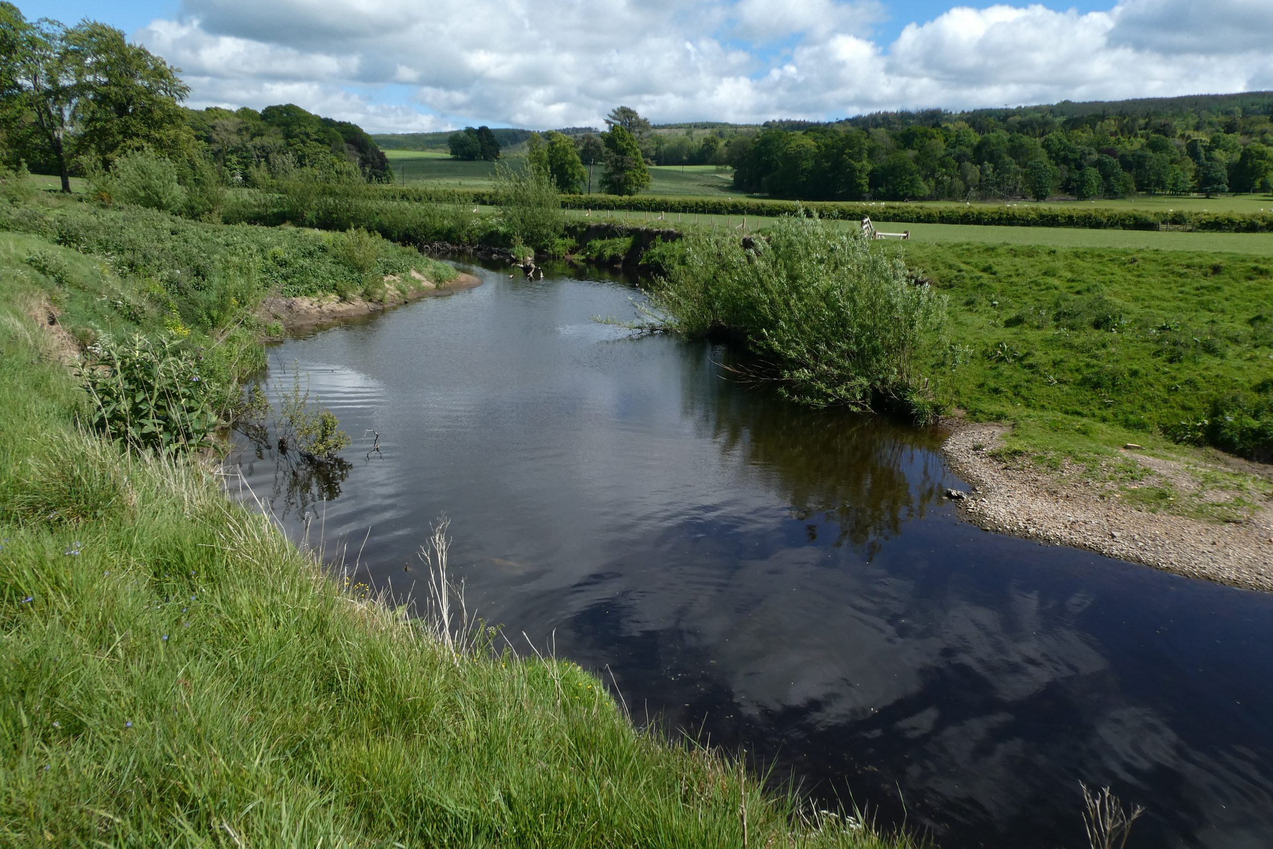
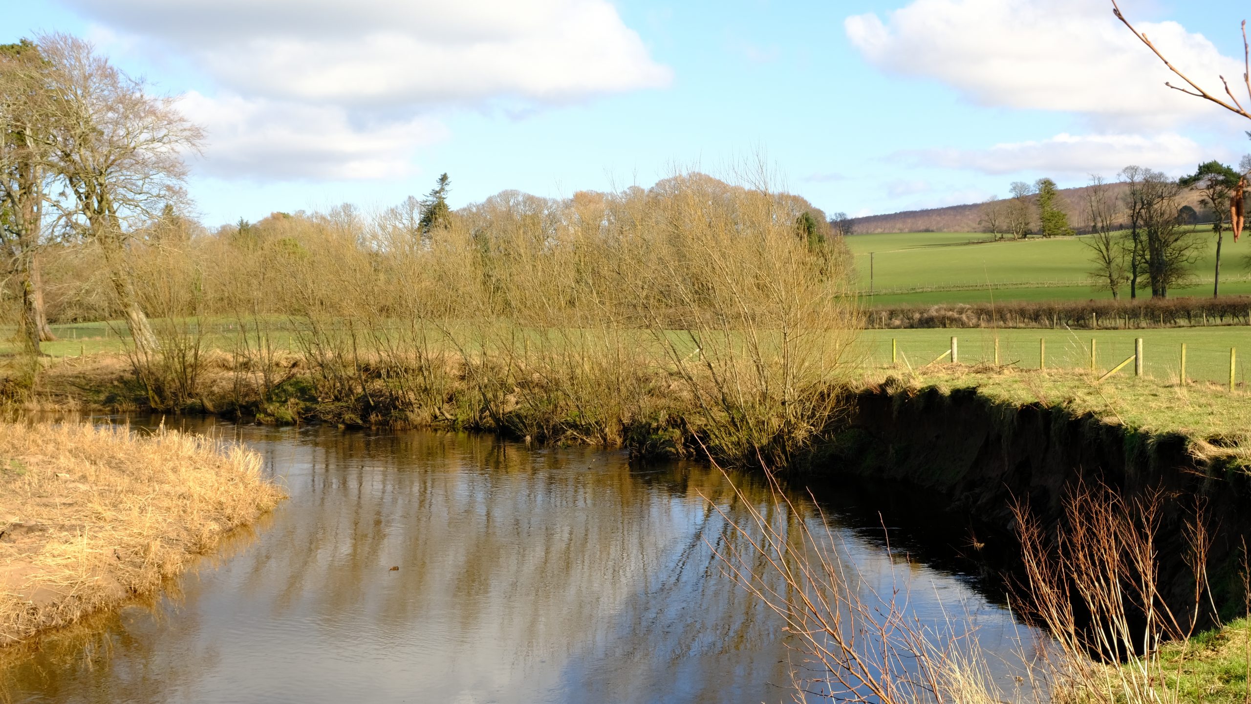
River Girvan
The source of the River Girvan is Loch Girvan Eye, situated on the slopes of the Shalloch of Minnoch in the Galloway Hills, and only half a mile from the source of the Stinchar.
The Girvan then flows through Lochs Cornish, Skelloch and Bradan, Ayrshire’s major water supply reservoir, before making a broad sweep north close to the villages of Straiton and Kirkmichael and then south-west past Crosshill and Dailly to reach the sea at Girvan.
The Girvan has a catchment area of approximately 250km2, considerably smaller than the neighbouring Doon and Stinchar. There are a number of tributaries including the Palmullan, Lamdoughty, Dyrock, Barlewan, Lindsayston and Penwhapple burns.
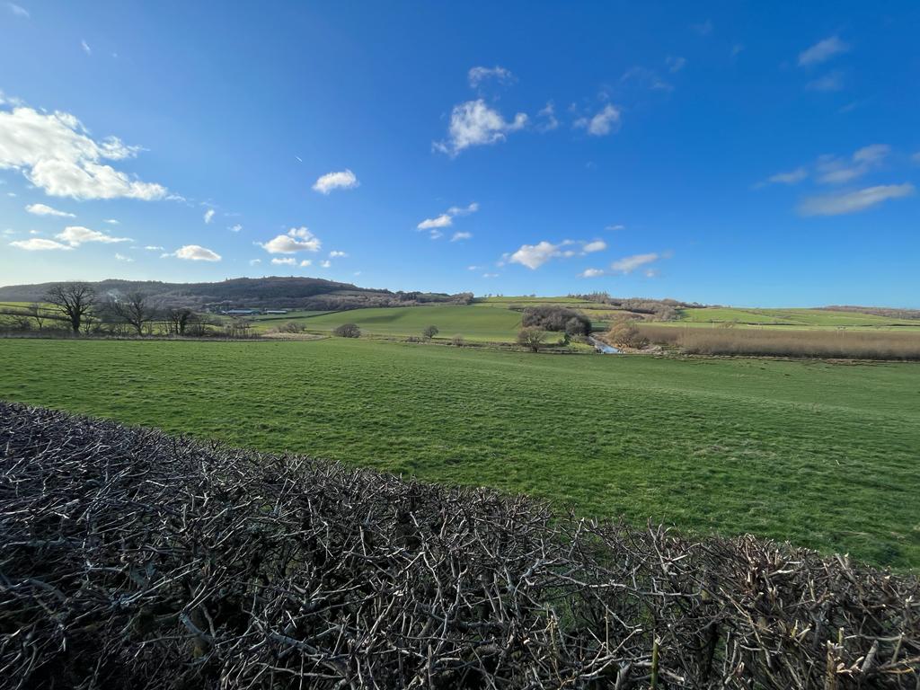
The main land uses in the upper reaches are commercial forestry and rough grazing. In the lower reaches there is more intensive agriculture with very productive arable land along the coastal strip.
The underlying hard geology of the River Girvan is complex with limestone and sandstone dominant. There are several old limekilns in the area and old coal mines in the Dailly area. In 1979 there was a major pollution incident when groundwater from the abandoned Dalquharran mine at Dailly upwelled killing everything in the lower reaches of the river. This pollution incident is still considered to be one of the worst recorded in Scotland and the impact on salmon catches can be clearly seen in the catch return graphs.
For more information about the management and priorities of work in the River Girvan catchment see our Girvan Fishery Management Plan.
Girvan Fishery Management Plan
(information, data and content held within this FMP cannot be used or shared without prior written permission):

River Girvan Catchment Map highlighting all tributaries.
To view current River Girvan water levels:
Support us!
Every small donation helps! Payment by credit/debit card is quick and easy.
Key Features
General
- Main settlements within the catchment are Girvan, Dailly, Maybole, Crosshill, Kirkmichael and Straiton
- Water is abstracted from Loch Braden to supply drinking water for much of Ayrshire. There is a compensation flow in place to maintain base flows as well as an agreement for freshets to aid fish migration. Penwhapple Reservoir also supplies water to local industry
Catchment Characteristics
- Upstream of Kirkmichael, the Girvan is quite fast flowing with many rocky turbulent sections, whilst downstream the river has a more pastoral character with long pools interspersed with riffles
- Sections in the middle river have been canalised resulting in a loss of river length and habitat diversity. At Dalquharran Castle a large meander was cut-off when a bypass channel was created
Industrial Past
- Coal mining was prominant in the Dailly area of the catchment alongside extraction of limestone resulting in several limekilns in the area
- An upwelling of minewater resulted in a severe pollution event within the lower Girvan in 1979
Biodiversity
- There is a widespread duck mussel population in the middle and lower reaches and a recently discovered freshwater pearl population in the upper reaches
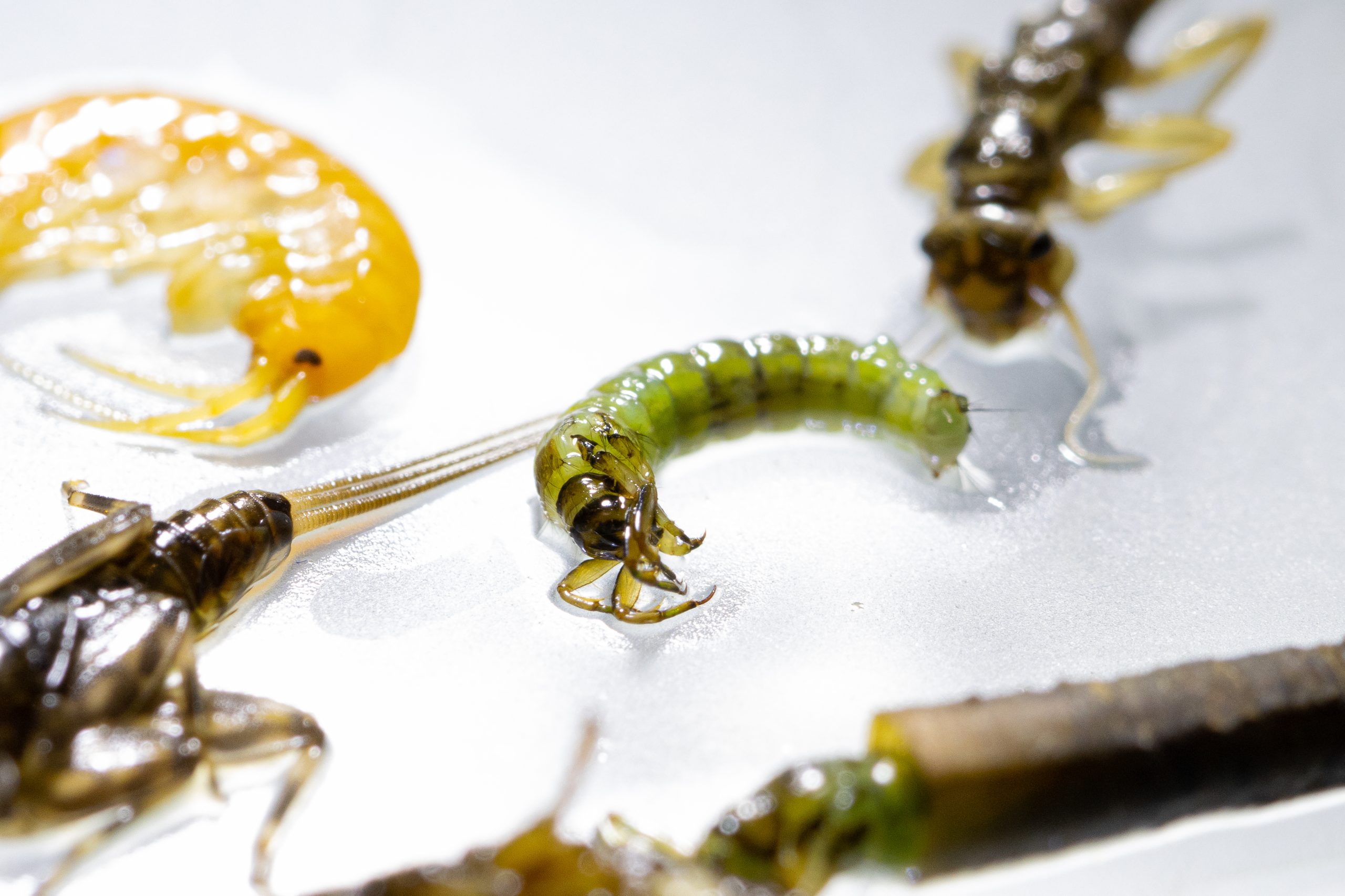
- Specimen of Ephemera danica found during invertebrate survey on Dyrock Burn, a first for Ayrshire
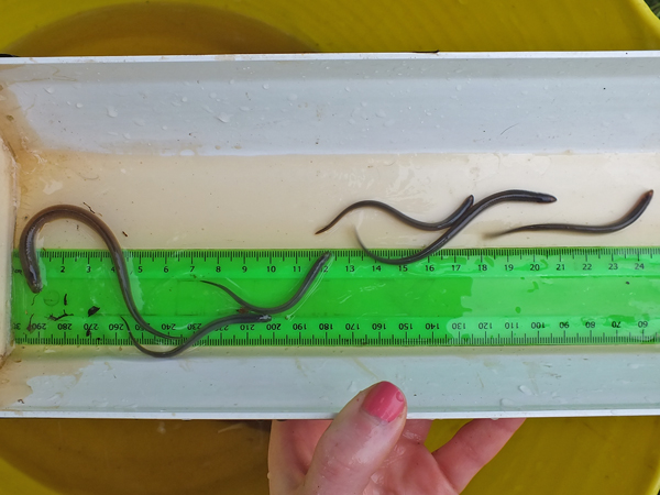
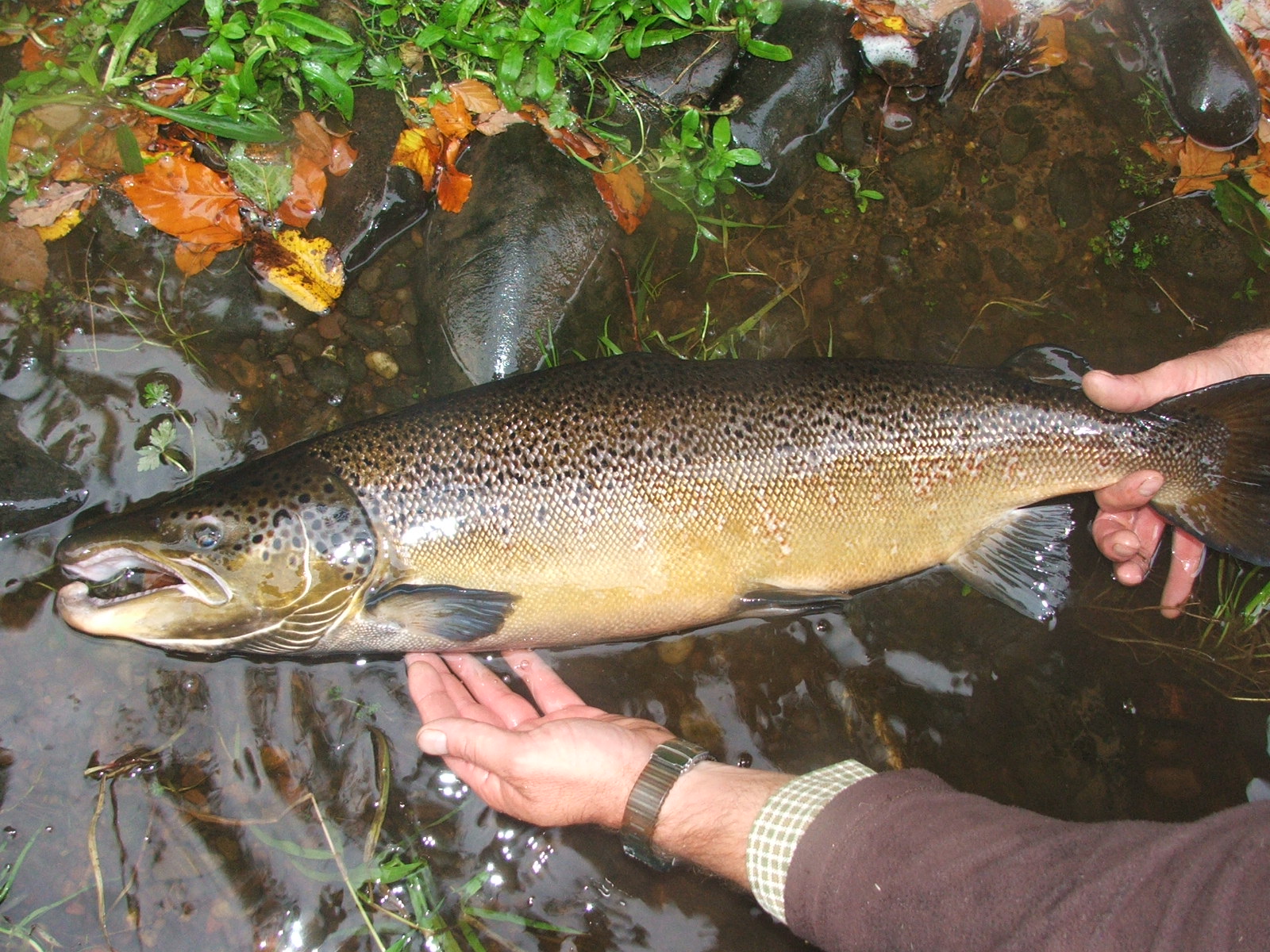
- Principal fish species include salmon, trout, eels, minnows, stone loach, sticklebacks and lampreys (sea and brook). During the summer months there are numerous grey mullet in the harbour and tidal reaches
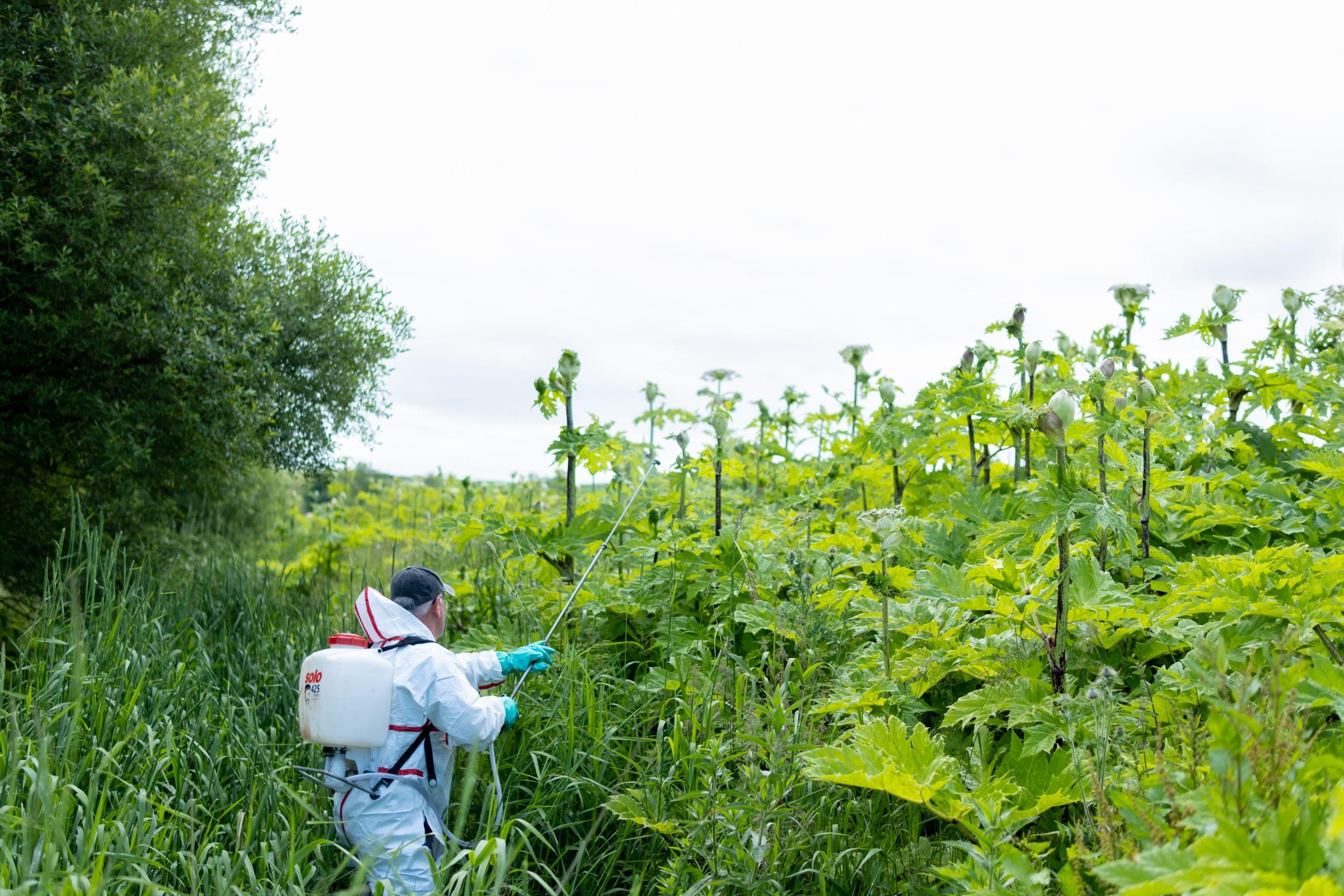
- There are extensive stands of invasive Japanese knotweed in the lower river
River Girvan Gallery
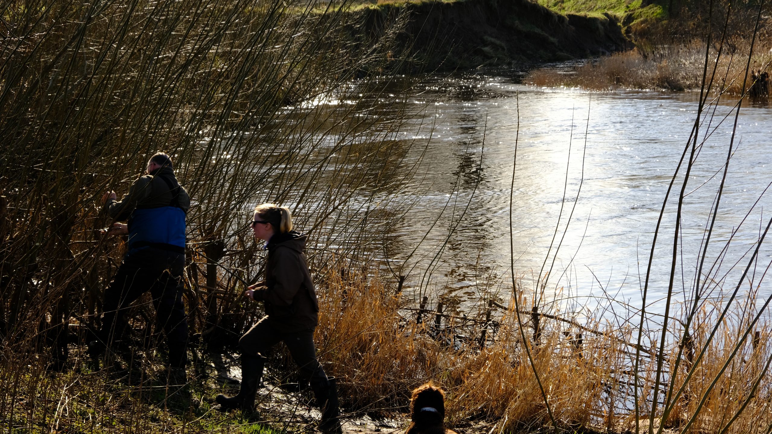

Monitoring and Science on the River Girvan
Data is collected to allow evidence based management and restoration