River Doon
The head waters of the River Doon are the burns and streams feeding Loch Doon from the north edge of the Galloway Forest Park.
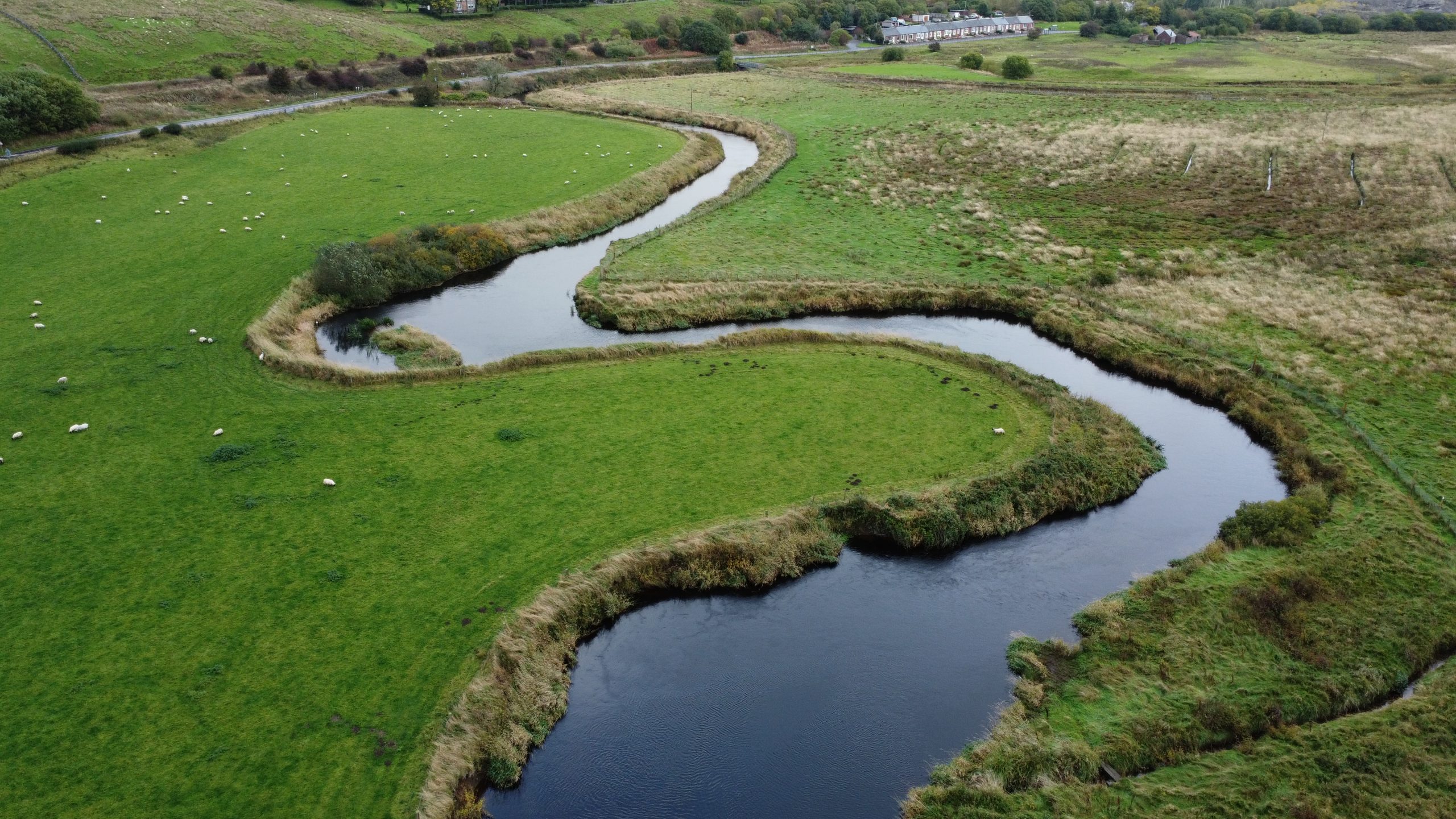
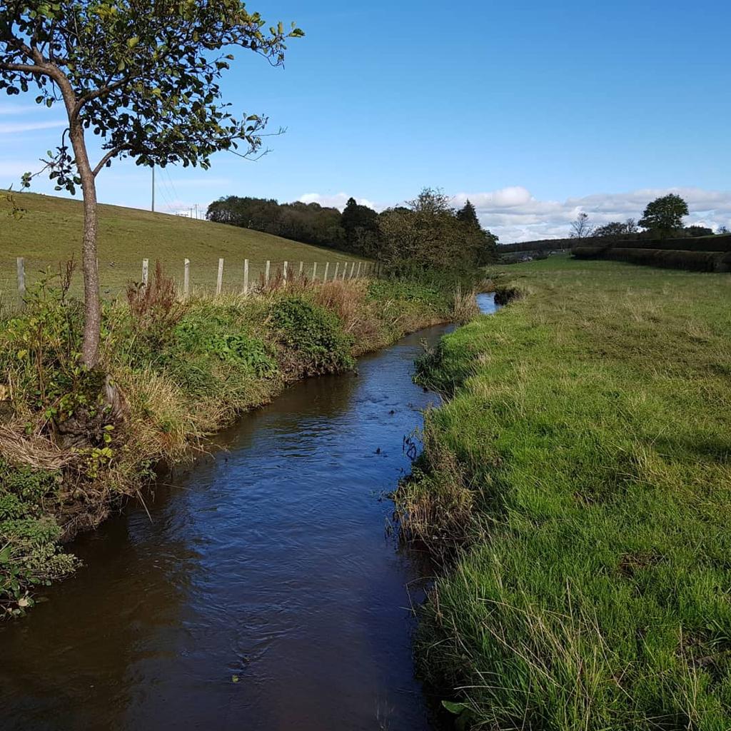
The Doon is just over 63 kilometres long (including the Loch) and flows north west close to the town of Dalmellington, through the villages of Patna and Dalrymple before entering the Firth of Clyde just south of Ayr.
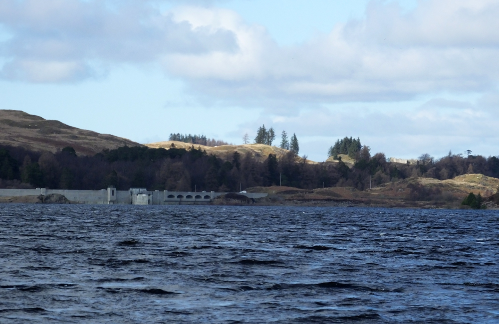
Loch Doon has been dammed to supply and store water for the Galloway hydro-electric power scheme. Whilst there is a net loss of water to the system, there is a compensation flow agreement which maintains water quality and flow levels throughout the year.
The river has a catchment area of 324 km2. The main land uses are rough grassland, improved grassland and woodland, the majority of which consists of conifer plantations. Historic open cast coal mining in the vicinity of Dalmellington continues to impact on water quality and fish populations.
The geology of the Doon catchment changes across the Southern Upland Fault Line from the granite headwater hills to the limestone coal measures in the middle reaches. Water chemistry mirrors the geology ranging from low productivity and intermittent acidic conditions in the upper tributaries to the highly productive, alkaline tributaries downstream of Dalmellington.
River Doon Fishery Management Plan
(information, data and content held within this FMP cannot be used or shared without prior written permission):

River Doon Catchment Map highlighting all tributaries.
Support us!
Every small donation helps! Payment by credit/debit card is quick and easy.
To view current River Doon water levels:
Key Features
General
- The River Doon itself starts at the outlet of Loch Doon. The compensation flow of 45 million gallons per day was agreed as part of the Galloway Water Power Act in 1935
- The Doon catchment is relatively narrow and there are few large tributaries below Loch Doon. The most significant of these are the Muck Water, Cummock Burn, Dunaskin Burn and Culroy Burn
- There are a number of Sites of Special Scientific Interest within the catchment e.g. Loch Doon, Ness Glen, Bogton Loch and moss and Dalmellington Moss
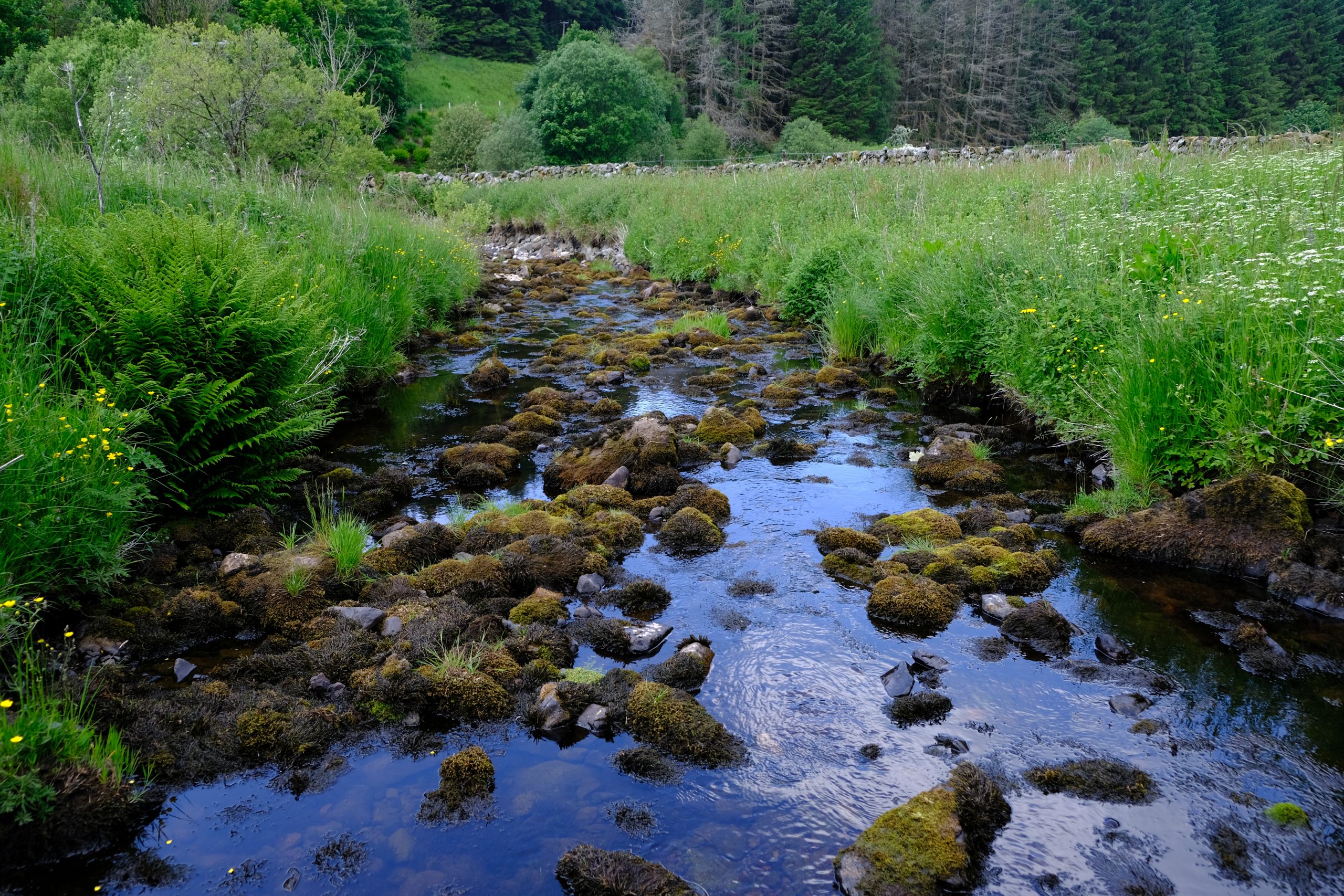
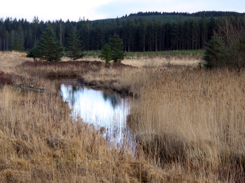
Catchment Characteristics
- The source of the Doon is Loch Enoch, high up in the Galloway Hills at an altitude of 500m. This loch has suffered historic acid rainfall issues
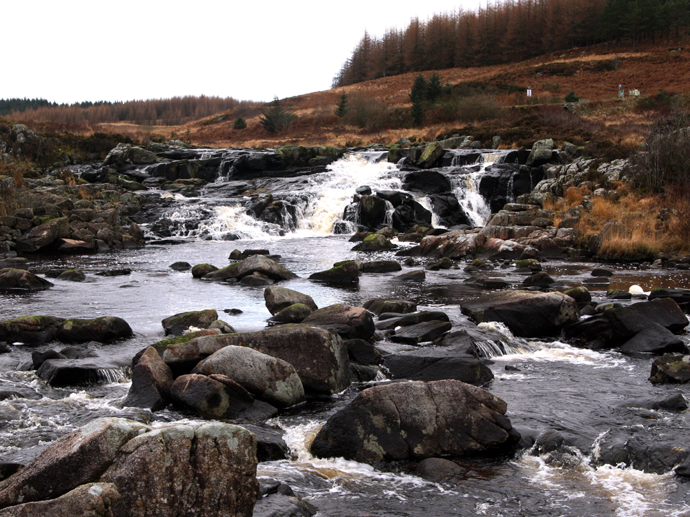
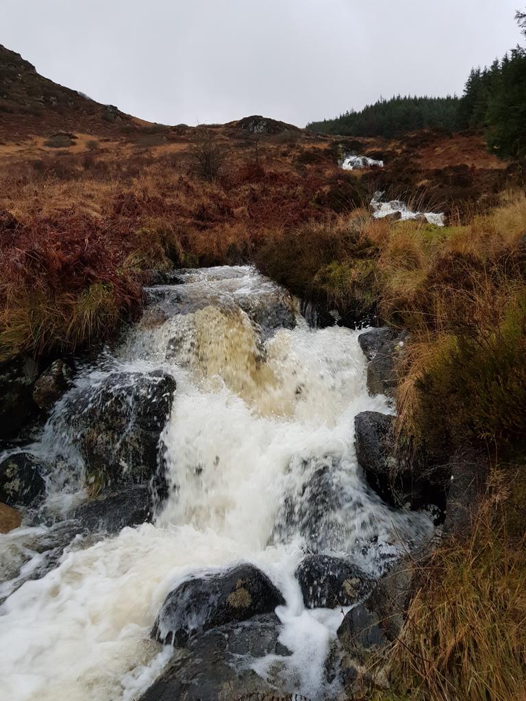
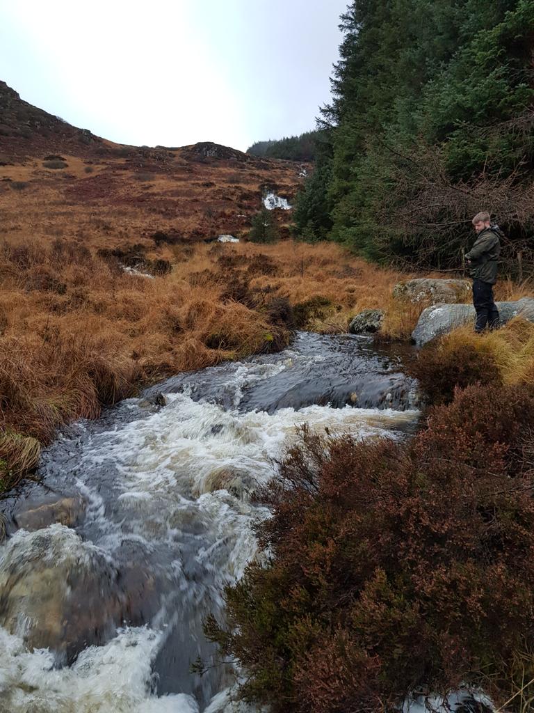
- Below Loch Doon the river cascades down through Ness Glen, a spectacular gorge, dropping 130 feet in less than one mile
- Apart from Loch Doon there are several large stillwaters in the catchment, including Bogton Loch and Martnaham Loch. These lochs provide excellent habitat for pike and perch which were introduced historically
- The Doon was once a famous pearl mussel fishery but overfishing and pollution reduced this to its current status where the population is considered to be on the verge of extinction.
Biodiversity
- Loch Doon supports the only native population of Arctic char in the south west of Scotland. This population is considered to be under threat due to issues such as acidification, climate change and the introduction of alien species. Sentinel populations of Doon char have been established in two other lochs in the south of Scotland to provide a pool of genetic material as insurance for the loss of the Doon population
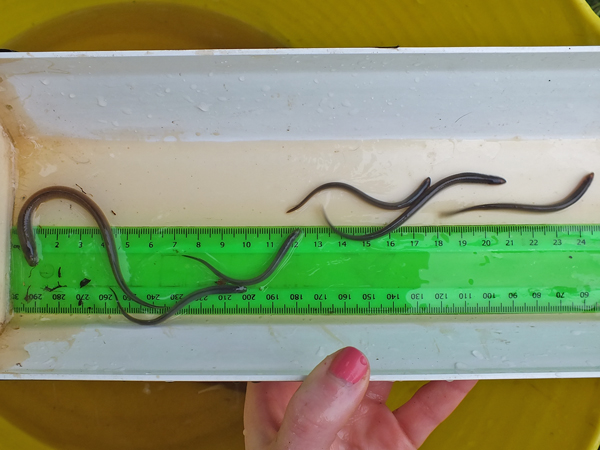
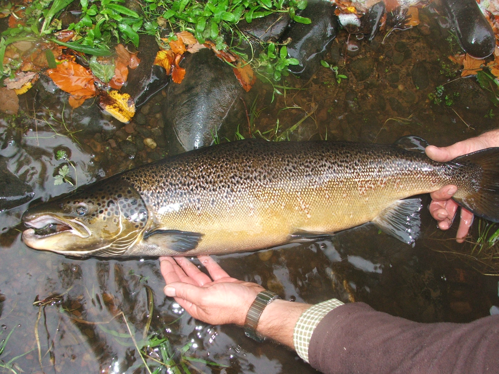
- Common fish species include salmon, brown and sea trout, arctic char, stone loach, minnows, sticklebacks, eels, lampreys, pike and perch
- Currently the salmon population appears to be relatively stable although much reduced on previous decades. However, the current population is self sustaining without any hatchery intervention.
- The main stem of the Doon has an abundant population of Saucer bugs Aphelocheirus aestivalis. Saucer bugs, which require high quality water, are only found in 5 or 6 rivers in Scotland
- The upper river between Patna and Dalmellington supports water vole meta populations
- Otters are found throughout the catchment
- The Bogton Loch and moss SSSI is designated due to the breeding birds assemblages and the transition to open water habitat
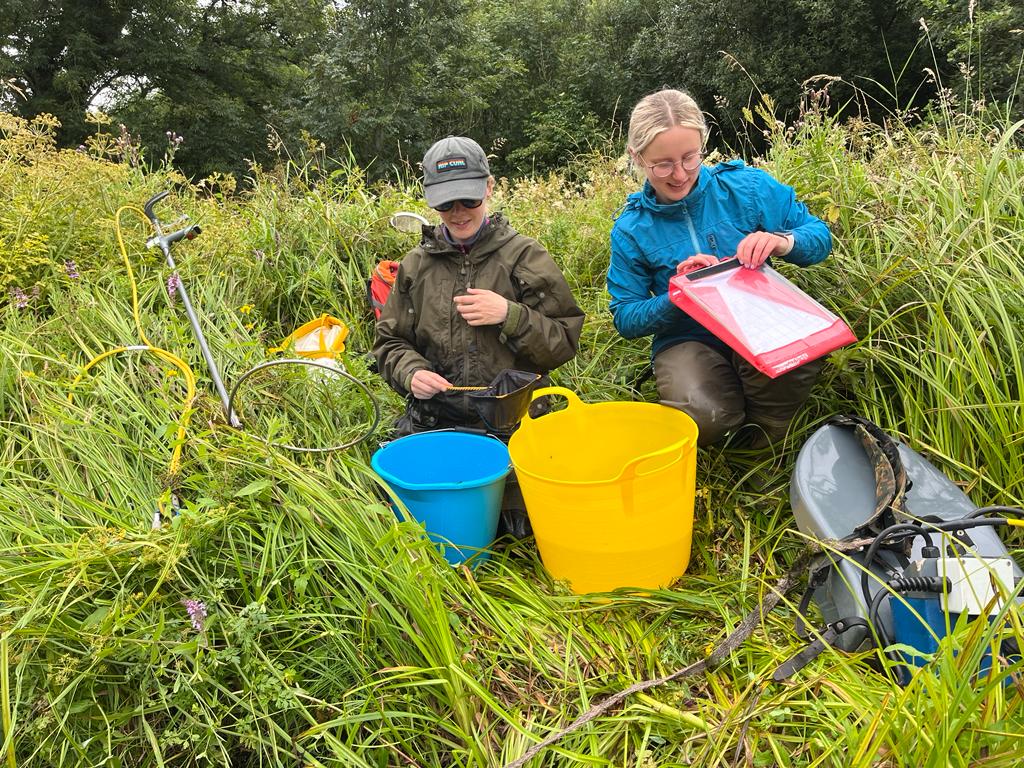
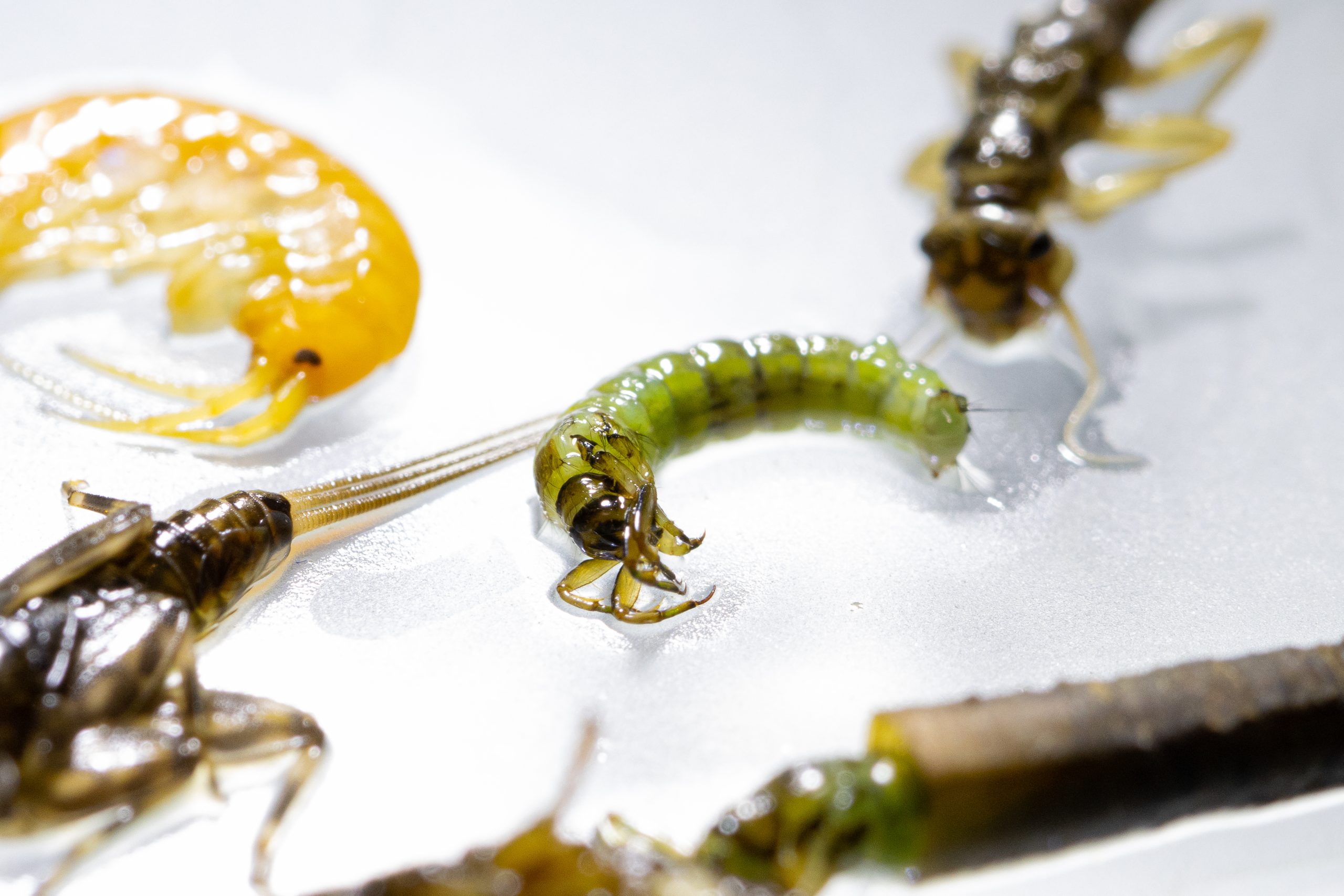
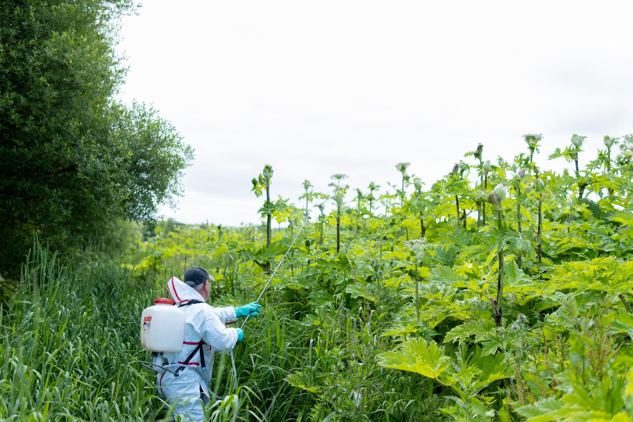
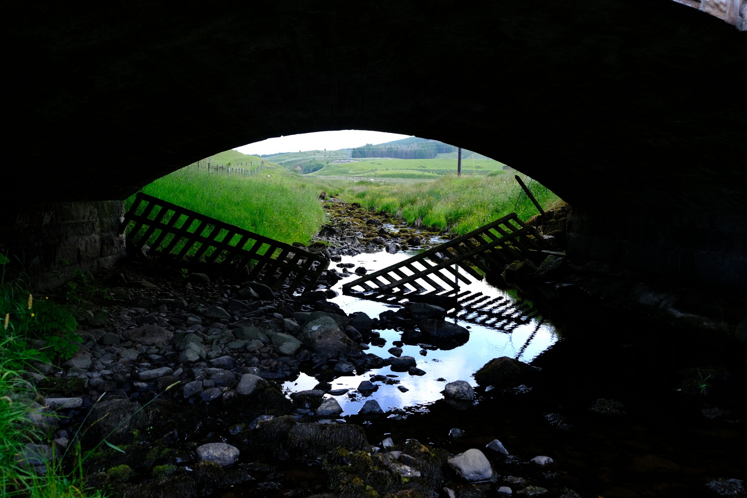
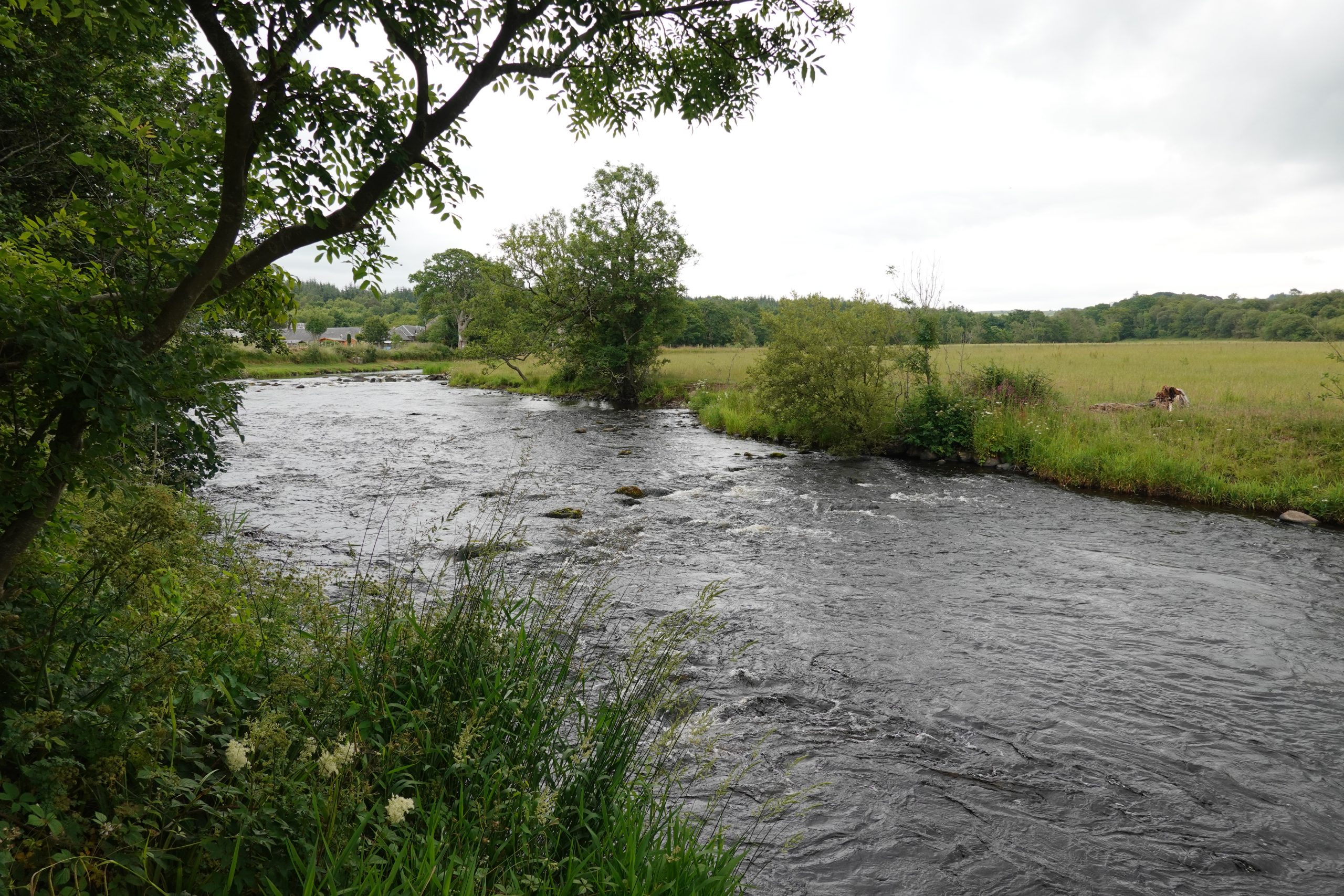
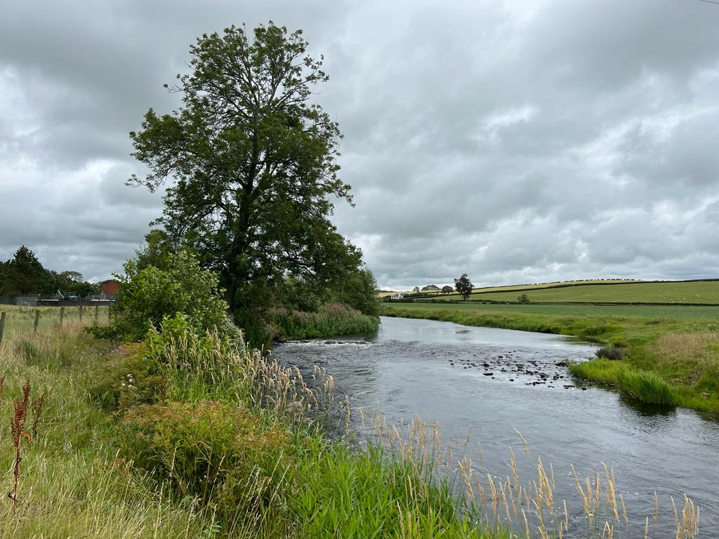
River Doon Gallery
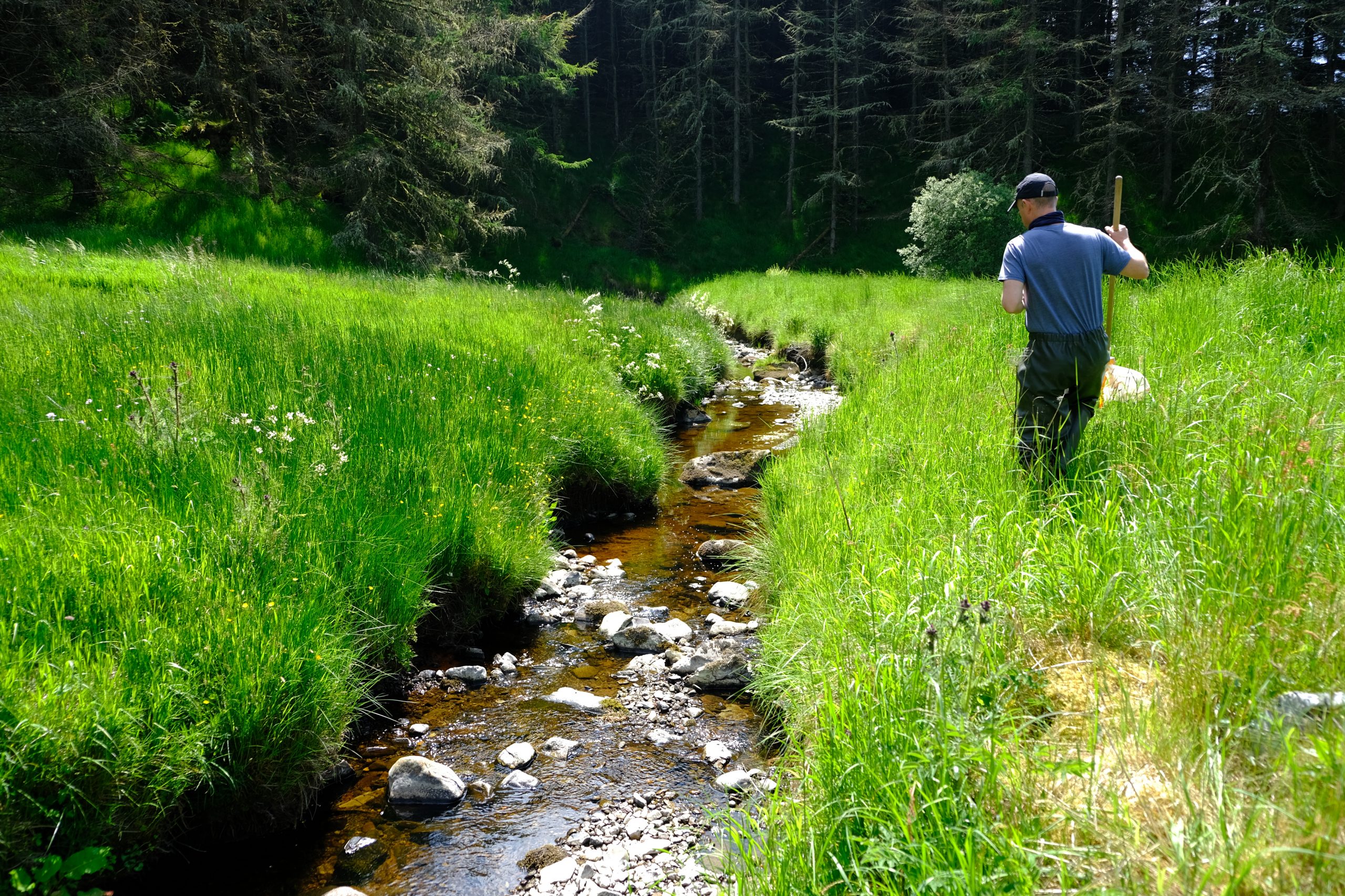
Monitoring and Science on the River Doon
Data is collected to allow evidence based management and restoration