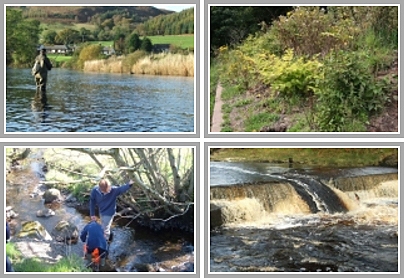
Following heavy rain overnight, the River Ayr was in spate as we headed out to collect more temperature data from the loggers in the upper catchment. We headed straight to Glenbuck and downloaded data from the very top of the catchment. When we were there I took Muir and Daniel to the Stottencleugh Burn (the true source of the Ayr) and they were shocked to see the iron deposits on what should be a clean burn. I have to say that although not surprised to see this, I find it hard to accept that there’s nothing that can be done about the mine water that is responsible for this. We see trout from Glenbuck Loch spawning in this burn each year but the eggs fail to survive due to anoxic conditions within the gravel.

The Stottencleugh Burn looking typically un-fish friendly.
On the way downstream we took a quick walk up the Ponesk which was in good flow. This artificial channel is improving all the time and we know fish are spawning here each winter. It is encouraging to see the river changing and naturalising following it’s move to a totally artificial channel but every effort was made to create a good habitat by Scottish Coal before they went into liquidation. The trees are growing well and I expect that in 10 years time this will be a much more appealing valley. With water quality being good and trout and salmon in this stretch of the burn, I’m looking forward to electrofishing our sites this summer after which we will be able to tell if there any improvement since our last survey. We had a quick look over the edge of the hold to see the ‘Ponesk Pond (Loch, Sea)’. This massive void is around 50m deep with little hope of ever being restored. It’s value for biodiversity is poor and it will never match the quality of habitat found at other restored opencast pond sites such as Darnconnor as there are no marginal berms or shallows. The colour of the water was ‘tropical’ and I’ve only ever seen similar at Durness in the limestone lochs.
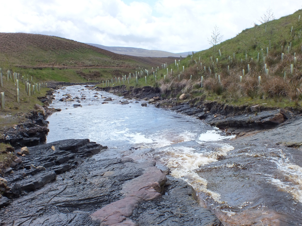
The habitat is looking good at the Ponesk

‘Mad turquoise water’ in Ayrshire
On to the Greenock Culvert where we are soon to install baffles once we get the approvals from Ayrshire Roads Alliance and SEPA. Muir is working on this at the moment and I hope to see this work completed in July or August. This will be a huge benefit for migrating salmon that struggle to get through the culvert. The gravel upstream of this location is ideal for spawning and juvenile numbers should increase as the habitat becomes utilised to it full potential. This is exactly the sort of project that should be the priority for all Boards as it maximises smelt output that should help combat marine losses that are beyond our control.
We had a quick look at the Whitehaugh where a new landslide was evident and perhaps the banks could be improved by tree planting and stock exclusion. I will attempt to speak to the estate to engage their views on this. Currently, woodland planting qualifies for funding through agricultural grant schemes.
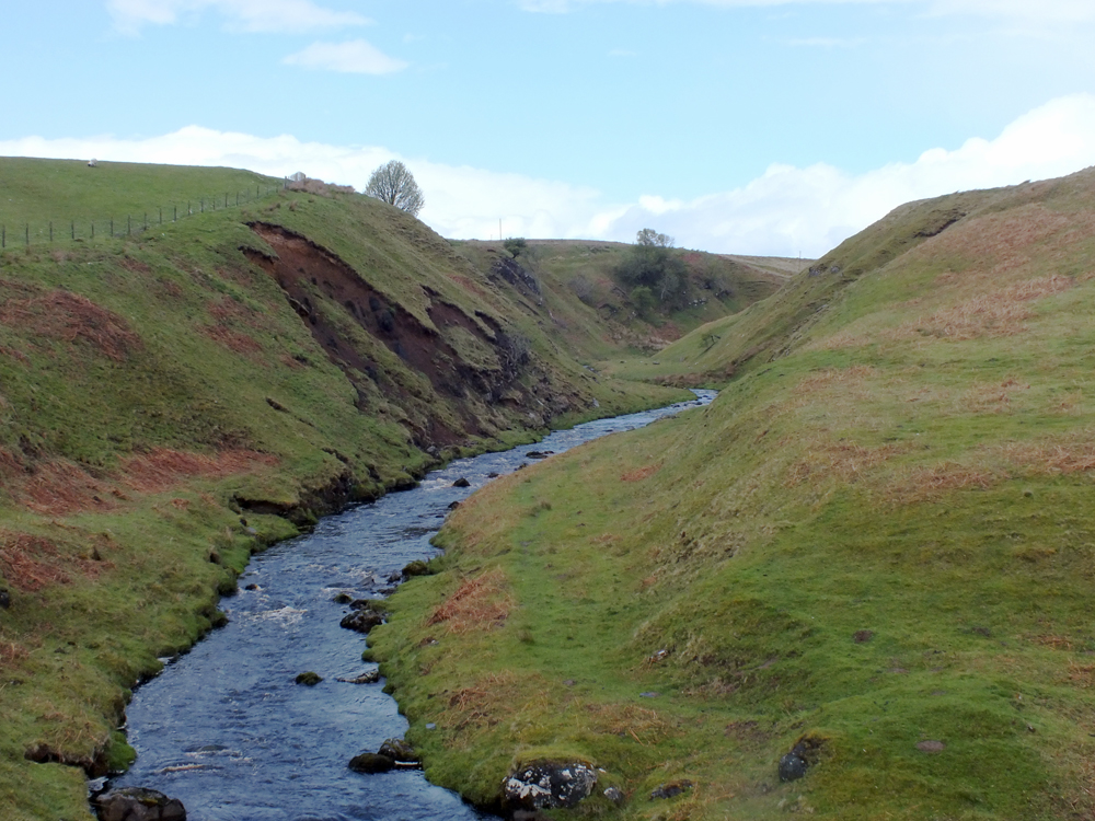
A significant landslide on the Whitehaugh
Catrine Dam was our next port of call and no surprises were there to greet us. The spate was causing the same old problems at the entrance to the fish pass as last year and any salmon attempting to migrate upstream would have to wait until the river drops before moving through the ladder on it’s way upstream. No sign of the deflector that was expected to be installed in May yet, but there are still a few days to go…. I wonder what alternative plans have been developed should permission to install the experimental deflctor aren’t forthcoming? I must ask that question again of Catrine Community Trust as it is by no means certain that Historic Scotland will allow any structure to be built on the dam (they already refused to support the initial proposal for the deflector).

The entrance to the fish pass was inaccessible again today in the spate. This situation has been well documented in the past and details can be found in earlier posts on this blog.
We headed to the Burnock Water to collect temperature data from the autologger on the way back to the office. The Burnock was in spate too, but falling. It always strikes me as a lovely wee burn and one of the best (but under utilised) in the Ayr system. Few salmon spawn in this burn but the trout population is good. After going over the top of the wellies and getting a wet foot, we reset the logger and headed back to the office at the end of an interesting trip around the catchment.
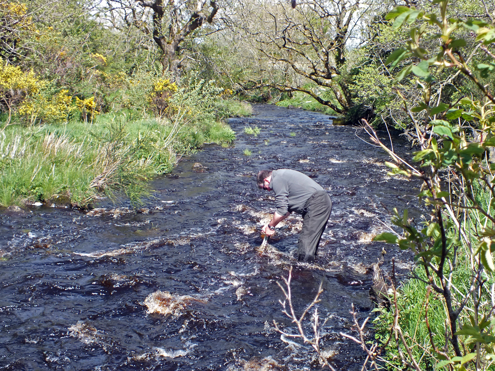
Refitting the data logger in the Burnock. There was a nice run on the water today and the whole River Ayr system should be in good order with every chance of a salmon for rods out tomorrow.
It was a day of very heavy showers and we were fortunate not to get too wet. On the way back I couldn’t help but notice that several fields were being spread with slurry after the silage crop had been cut. I hope the rain stops for a day or two to allow the slurry to soak in rather than run off to the burns.
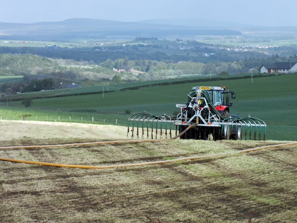
Getting the slurry out between showers.