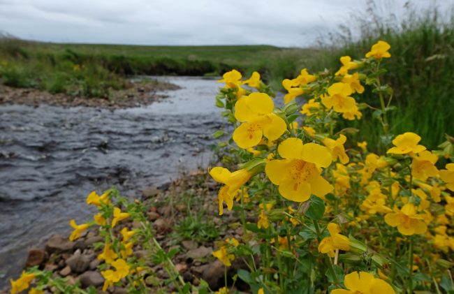
Mimulus guttatus or the Common yellow monkey flower
In keeping with other work we are doing at the moment, Muir and I met with a landowner this morning to see what we could suggest to stabilise rapidly eroding river banks.
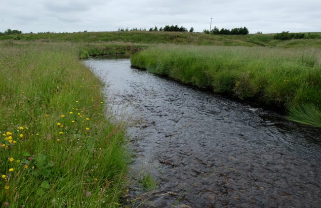
The site we visited was on the Greenock Water, an important tributary of the Ayr. For years the river has been mobile within the floodplain but recently it seems as though this has accelerated and is causing tonnes of sand and silt to enter the river.
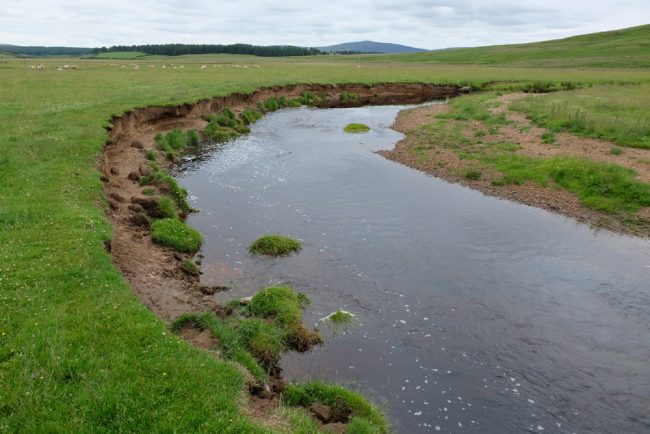
Erosion accelerated by livestock access. Unfortunately fencing isn’t really an option as it would be destroyed by winter floods. Grazing is largely limited to sheep. The landowner is proactive and keen to find ways to stabilise the banks and we should be able to work together to find improvements.
The landowner is eager to use green engineering techniques to address the worst affected areas and we are keen to help if we can. After walking the stretch with the farmer and discussing various points, we left to discuss the best available options and will return shortly with suggestions that may help.

Just one of the many gravel bars that build up in the meanders. This material is important in the river and we won’t aim to stop the supply completely.
The scale of the erosion is vast and fencing isn’t really an option for the entire stretch as the river regularly floods across the plain and spills out of the channel at the meanders. Large floods will quickly destroy most fences under these conditions. Indeed some that were installed not so many years ago are now flattened and others are hanging as erosion continues. Clearly we need to find better options if possible and I expect solutions may be best where a combination of materials and approaches are used. We will need to be creative to find acceptable solutions but I like to think we are capable of coming up with new ideas (of course some may work better than others but that’s how we and others learn).
Compare this with the year round grazed river bank images. These banks are stable and grazing is restricted within this meadow. Fences are in place to exclude cattle and sheep but this isn’t within the meandering area worst affected by erosion. Fencing on floodplains is a difficult, nigh on impossible task but we will attempt to come up with acceptable alternative solutions.
We were treated to a fly past by a Hercules as it swooped low along the valley…quite a site close up.
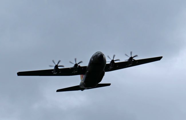
What an impressive site this Hercules was as it flew low down the valley and over our heads.
As usual, watch this space for updates. We are very keen to assist with finding solutions here and indeed even helping to install them where we can.
As a an update to this post, I have made a composite image from photos dating back to 1945 and 2004 and detailed the course of the river in those two years and again as we found it yesterday. From this image it is clear there have been considerable changes over the 71 year period. Hopefully we can help make things more stable using only green technologies and encouraging a slightly altered approach to grazing regimes. Minor changes here ,may bring long lasting improvements.
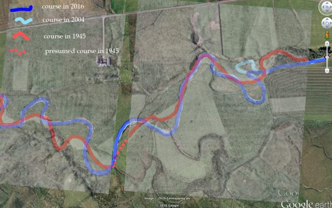
the changes over a 71 year period (between 1945 and 2016) are illustrated in this composite aerial image.